Old Maps of Simpson, Missouri for Academic Research
Study the evolution of Simpson with 12 high-resolution historic maps. Whether you're teaching, researching, or modeling changes in land use, these maps provide essential visual documentation of urban, environmental, and geographic change.
- Analyze long-term change: Track patterns in development, transportation, and natural features.
- Ideal for environmental or urban studies: Support academic projects with primary historical map data.
- Use in the classroom or lab: Educators and researchers rely on these maps to bring historical context to life.
These maps are a powerful tool for teaching, research, and visualizing how Simpson has changed over the decades.
Simpson, MO maps
(12)- 1944 Map of Couch, 1960 Print
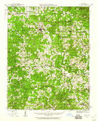 1944 Couch1960 Print · USGSThe Missouri Ozarks and the Arkansas borderlands appear in mid-century detail during the 1940s, highlighting the remote settlement of Oregon County. Genealogists can trace family footprints through numerous rural landmarks like Smyrna Ch, Couch Sch, and Hollis Cem.2 unique versions available
 - 1946 Map of Couch
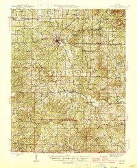 1946 Couch1946 Print · USGSOregon County is captured mid-century near the Arkansas border as the rural community network of one-room schools and country churches remained intact. Genealogists can locate family landmarks like Hollow Cem, Nebo Sch, and the settlements of Couch and Myrtle.2 unique versions available
 - 1957 Map of Poplar Bluff, 1968 Print
 1957 Poplar Bluff1968 Print · USGSThe Missouri-Arkansas border region is captured here as the timber and rail industries shaped the Ozark foothills. Genealogists and historians can trace the Missouri Pacific Railroad through river towns like Pocahontas, Greenville, and Van Buren.3 unique versions available
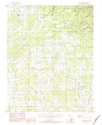
 - 1959 Map of Poplar Bluff
 1959 Poplar Bluff1959 Print · USGSThe Missouri Ozarks and Arkansas borderlands meet in this late 1950s study of the region's diverse terrain and rail-fed towns. Researchers can trace the path of the Missouri Pacific Railroad through Poplar Bluff or locate smaller settlements like Birch Tree and Myrtle.
 - 1960 Map of Poplar Bluff
 1960 Poplar Bluff1960 Print · USGSSoutheast Missouri and Northeast Arkansas are captured here during the post-war era, showing the transition from the Ozark highlands to the Delta. Genealogists and historians can trace rail corridors like the St. Louis Southwestern RR and remote settlements such as Birch Tree and Warm Springs.
 - 1983 Map of Many Springs, 1984 Print
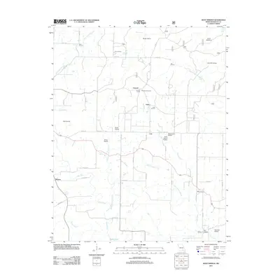
 1983 Many Springs1984 Print · USGSOregon County is captured in the early eighties as a landscape of rural congregations and deep Ozark hollows. Genealogists and local historians can locate several family landmarks, from Bailey Chapel and Nebo Ch to the Hollfs Cem.
 - 1984 Map of West Plains
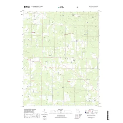
 1984 West Plains1984 Print · USGSThe Missouri Ozarks are mapped here in the mid-1980s, centered on the regional hub of West Plains and the river corridors of the Eleven Point River. Trace the old rail lines and timber towns of Willow Springs, Mountain View, and Birch Tree through the Mark Twain National Forest.2 unique versions available
 - 1997 Map of Many Springs, 2000 Print
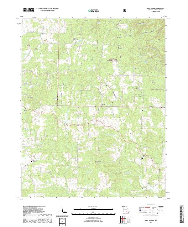
 1997 Many Springs2000 Print · USGSOregon County is mapped here in the late twentieth century, showing a landscape defined by the Mark Twain National Forest and the Eleven Point River. Genealogists and local historians can trace rural roots at Allen Chapel, Hollis Cemetery, and the settlement of Couch.
 - 2011 Map of Many Springs, 2011 Print
 2011 Many Springs2011 Print · USGSCovers Simpson, including Braswell, Hollis, and other nearby areas
 - 2015 Map of Many Springs, 2015 Print
 2015 Many Springs2015 Print · USGSCovers Simpson, including Braswell, Hollis, and other nearby areas
 - 2017 Map of Many Springs, 2017 Print
 2017 Many Springs2017 Print · USGSCovers Simpson, including Braswell, Hollis, and other nearby areas
 - 2021 Map of Many Springs, 2021 Print
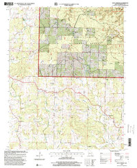
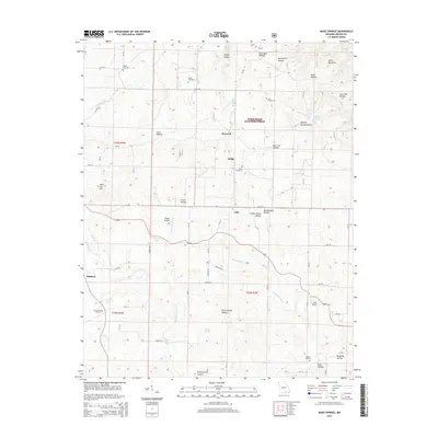
 2021 Many Springs2021 Print · USGSOregon County, Missouri, in the early twenty-first century remains a landscape of deep hollows and forest springs within the Mark Twain National Forest. Genealogists can trace local roots through numerous sites like Hollis Cem Number 1 and Lance Cem near the town of Alton.
End of results
Showing maps 1-12 of 12
Top cities near Simpson
Frequently asked questions
- What are the different types of historical maps available for Simpson?
- What is the oldest map of Simpson?
- Where can I purchase historical maps of Simpson for my home or office?
- Where can I download high-res historical maps of Simpson?
- Are there historical topographic maps available for Simpson?
- Is there historical aerial imagery available for Simpson?
- Where are historical maps of Simpson sourced from?