Old Maps of Cunningham, Missouri for Academic Research
Study the evolution of Cunningham with 12 high-resolution historic maps. Whether you're teaching, researching, or modeling changes in land use, these maps provide essential visual documentation of urban, environmental, and geographic change.
- Analyze long-term change: Track patterns in development, transportation, and natural features.
- Ideal for environmental or urban studies: Support academic projects with primary historical map data.
- Use in the classroom or lab: Educators and researchers rely on these maps to bring historical context to life.
These maps are a powerful tool for teaching, research, and visualizing how Cunningham has changed over the decades.
Cunningham, MO maps
(12)- 1939 Map of Caruthersville, 1943 Print
 1939 Caruthersville1943 Print · USGSThe Missouri bootheel and Tennessee riverfront are documented here just before the Second World War, showing a landscape defined by the Mississippi's bends. Researchers can trace rural lineages through local landmarks like Mt Olive Ch & Sch, Mengelwood, and the many riverfront schools.2 unique versions available
 - 1951 Map of Caruthersville, 1968 Print
 1951 Caruthersville1968 Print · USGSThe Missouri Bootheel meets the Tennessee bottomlands in the early fifties, revealing a landscape of river landings and levee-protected towns. Genealogists can trace family roots through sites like Needmore Cem & Ch, Indian Mound, and the old rail stops of the St Louis Southwestern.
 - 1956 Map of Dyersburg, 1960 Print
 1956 Dyersburg1960 Print · USGSThe Four Rivers region comes alive in the mid-fifties, capturing the intricate borderlands of Tennessee, Kentucky, and Missouri. Genealogists and historians can trace the rail-and-river networks connecting Dyersburg, Caruthersville, and the shoreline of Reelfoot Lake.4 unique versions available
 - 1957 Map of Caruthersville
 1957 Caruthersville1957 Print · USGSThe Mississippi River floodplain comes alive in the mid-1950s, detailing a landscape of revetments, dikes, and river landings. Genealogists can trace family roots through numerous rural landmarks like Speers Cem & Ch, Kinfolk Ridge, and Needmore.
 - 1971 Map of Caruthersville, 1973 Print
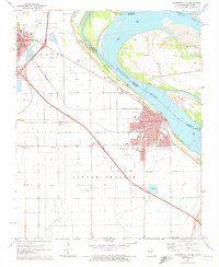 1971 Caruthersville1973 Print · USGSThe Mississippi River levee system and early interstate expansion define this riverfront area in the early seventies. Trace local genealogy and industry through Magnolia Cem, the Indian Mound, and the busy St Louis Southwestern rail lines.3 unique versions available
 - 1973 Map of Caruthersville
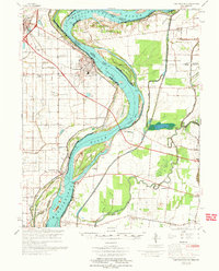 1973 Caruthersville1973 Print · USGSThe Missouri Bootheel meets the Tennessee state line in the early 1970s, where the Mississippi River winds past Caruthersville. Local historians can trace family roots through numerous sites like Little Prairie Cem, Marvin Chapel, and the community at Hayti.
 - 1983 Map of Dyersburg
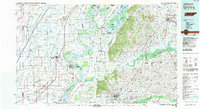 1983 Dyersburg1983 Print · USGSSpanning the Mississippi River at the start of the 1980s, this area shows the vital river-and-rail connections between Tennessee and Missouri. Researchers can trace family sites at Mount Pisgah Cemetery or study the evolving shoreline near Caruthersville and Reelfoot Lake.
 - 2010 Map of Caruthersville, 2010 Print
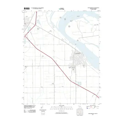 2010 Caruthersville2010 Print · USGSIn the Missouri Bootheel during the early 21st century, Caruthersville serves as a vital river port along the Mississippi River. Genealogists and local historians can trace family burial sites at Little Prairie Cemetery or Patterson Cemetery, and locate river landmarks like Powells Ferry.
 - 2012 Map of Caruthersville, 2012 Print
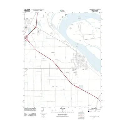 2012 Caruthersville2012 Print · USGSThe Missouri Bootheel near the Mississippi River comes into focus during the early twenty-first century, showing a landscape of river engineering and ancestral sites. Researchers can trace family names at Morgan Ridge Cemetery or investigate local landmarks like Kinfolks Ridge and the Indian Mound.
 - 2015 Map of Caruthersville, 2015 Print
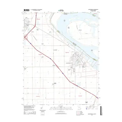 2015 Caruthersville2015 Print · USGSThe Missouri Bootheel meets the Tennessee border at the Mississippi River in the mid-2010s. Local researchers can trace family plots at Woodlawn Cemetery and Patterson Cemetery or locate the distinctive Indian Mound and Kinfolks Ridge.
 - 2017 Map of Caruthersville, 2017 Print
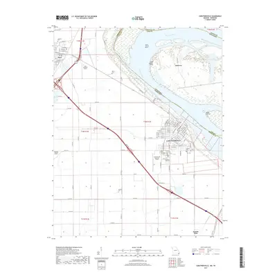 2017 Caruthersville2017 Print · USGSThe Missouri Bootheel riverfront and the neighboring towns of Hayti and Caruthersville are captured in the late twenty-teens. Researchers can trace local genealogy and land use through numerous sites like Woodlawn Cem, Kinfolks Ridge, and Island Number Fifteen.
 - 2021 Map of Caruthersville, 2021 Print
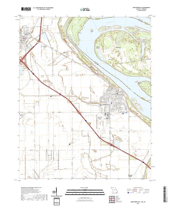 2021 Caruthersville2021 Print · USGSThe Missouri Bootheel thrives in this early 2020s view of Caruthersville and Hayti along the banks of the Mississippi River. Genealogists and local historians can trace family roots through numerous sites like Magnolia Cem, Woodlawn Cem, and Eastwood Memorial Methodist Church Cem.
End of results
Showing maps 1-12 of 12
Top cities near Cunningham
- Blytheville historical maps
- Caruthersville historical maps
- Tiptonville historical maps
- Hayti historical maps
- Steele historical maps
- Ridgely historical maps
See more
Frequently asked questions
- What are the different types of historical maps available for Cunningham?
- What is the oldest map of Cunningham?
- Where can I purchase historical maps of Cunningham for my home or office?
- Where can I download high-res historical maps of Cunningham?
- Are there historical topographic maps available for Cunningham?
- Is there historical aerial imagery available for Cunningham?
- Where are historical maps of Cunningham sourced from?