Old Maps of Douglas, Missouri for Academic Research
Study the evolution of Douglas with 10 high-resolution historic maps. Whether you're teaching, researching, or modeling changes in land use, these maps provide essential visual documentation of urban, environmental, and geographic change.
- Analyze long-term change: Track patterns in development, transportation, and natural features.
- Ideal for environmental or urban studies: Support academic projects with primary historical map data.
- Use in the classroom or lab: Educators and researchers rely on these maps to bring historical context to life.
These maps are a powerful tool for teaching, research, and visualizing how Douglas has changed over the decades.
Douglas, MO maps
(10)- 1940 Map of Hayti, 1943 Print
 1940 Hayti1943 Print · USGSSoutheast Missouri’s fertile lowlands are captured here in the early 1940s, showing a landscape defined by drainage canals and rail-side commerce. Genealogists can trace family roots through numerous small schools and cemeteries, such as Cupp Cem and Gibson Sch.2 unique versions available
 - 1955 Map of Hayti
 1955 Hayti1955 Print · USGSThe Missouri Bootheel comes into focus during the mid-fifties, showing a landscape defined by drainage ditches and rail-centered commerce. Researchers can find numerous rural landmarks like the Canady Switch Sch, Zion Rock Ch, and the County Farm Cem.
 - 1956 Map of Dyersburg, 1960 Print
 1956 Dyersburg1960 Print · USGSThe Four Rivers region comes alive in the mid-fifties, capturing the intricate borderlands of Tennessee, Kentucky, and Missouri. Genealogists and historians can trace the rail-and-river networks connecting Dyersburg, Caruthersville, and the shoreline of Reelfoot Lake.4 unique versions available
 - 1978 Map of Steele, 1979 Print
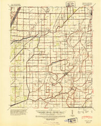
 1978 Steele1979 Print · USGSThe Missouri Bootheel thrives as a rail and highway crossroads in the late seventies, showing the agricultural heart of Pemiscot County. Researchers can trace rural lineages through sites like Frakes Cem, Kings Chapel, and the township of Holland.
 - 1983 Map of Dyersburg
 1983 Dyersburg1983 Print · USGSSpanning the Mississippi River at the start of the 1980s, this area shows the vital river-and-rail connections between Tennessee and Missouri. Researchers can trace family sites at Mount Pisgah Cemetery or study the evolving shoreline near Caruthersville and Reelfoot Lake.
 - 2011 Map of Steele, 2011 Print
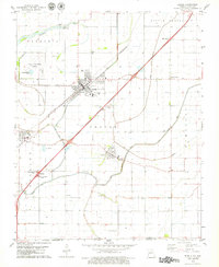
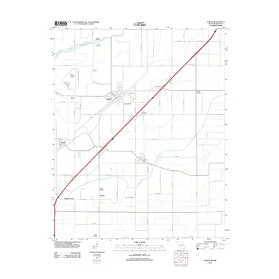
 2011 Steele2011 Print · USGSCovers Douglas, including Steele, Cooter, and other nearby areas
 - 2012 Map of Steele, 2012 Print
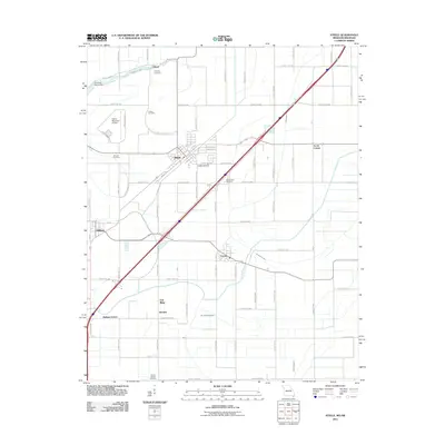
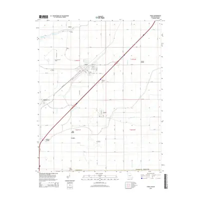
 2012 Steele2012 Print · USGSCovers Douglas, including Steele, Cooter, and other nearby areas
 - 2015 Map of Steele, 2015 Print
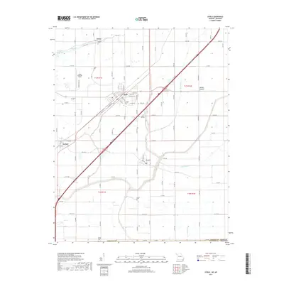
 2015 Steele2015 Print · USGSCovers Douglas, including Steele, Cooter, and other nearby areas
 - 2017 Map of Steele, 2017 Print
 2017 Steele2017 Print · USGSCovers Douglas, including Steele, Cooter, and other nearby areas
 - 2021 Map of Steele, 2021 Print
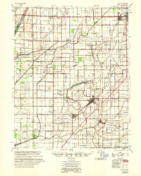
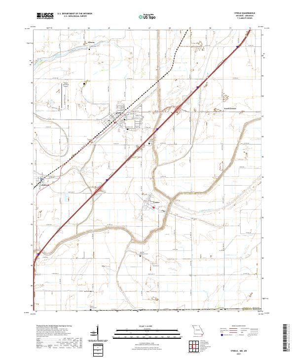 2021 Steele2021 Print · USGSPemiscot County, Missouri, is shown here in the early 2020s, dominated by the drainage systems and rail-side settlements of the Bootheel. Researchers can locate numerous local burial sites like Holly Cem and Mount Zion Cem or trace the industrial layout of Steele.
End of results
Showing maps 1-10 of 10
Top cities near Douglas
- Blytheville historical maps
- Kennett historical maps
- Caruthersville historical maps
- Hayti historical maps
- Gosnell historical maps
- Steele historical maps
See more
Frequently asked questions
- What are the different types of historical maps available for Douglas?
- What is the oldest map of Douglas?
- Where can I purchase historical maps of Douglas for my home or office?
- Where can I download high-res historical maps of Douglas?
- Are there historical topographic maps available for Douglas?
- Is there historical aerial imagery available for Douglas?
- Where are historical maps of Douglas sourced from?