Old Maps of Flag Spring, Missouri for Academic Research
Study the evolution of Flag Spring with 12 high-resolution historic maps. Whether you're teaching, researching, or modeling changes in land use, these maps provide essential visual documentation of urban, environmental, and geographic change.
- Analyze long-term change: Track patterns in development, transportation, and natural features.
- Ideal for environmental or urban studies: Support academic projects with primary historical map data.
- Use in the classroom or lab: Educators and researchers rely on these maps to bring historical context to life.
These maps are a powerful tool for teaching, research, and visualizing how Flag Spring has changed over the decades.
Flag Spring, MO maps
(12)- 1934 Map of Redbird, 1962 Print
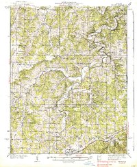
 1934 Redbird1962 Print · USGSThe rural landscapes of Phelps, Maries, and Gasconade Counties are captured here in the 1930s, before modern highway expansion altered the backroads. Genealogists can trace family landmarks like Rock Spring Cem, Stockton Mine, and the Soldiers Home.
 - 1938 Map of Redbird
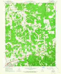
 1938 Redbird1938 Print · USGSThe Missouri Ozarks during the late 1930s reveal a landscape of river-carved ridges and small agricultural hubs like St James and Highgate. Genealogists and historians can locate dozens of country landmarks, from Stockton Mines to rural schools like Lanes Prairie and the Southard Cem.3 unique versions available
 - 1949 Map of Saint Louis
 1949 Saint Louis1949 Print · USGSGreater St. Louis and its surrounding river valleys are captured here just after the war, showing the metropolitan core and the rural Ozark fringe. Researchers can trace the sprawling rail network of the Wabash RR or locate landmarks like Meramec Caverns Airport and Scott Air Force Base.2 unique versions available
 - 1962 Map of St. Louis
 1962 St. Louis1962 Print · USGSThe mid-century gateway to the west shows the metropolitan expansion of St Louis alongside its critical river confluences. Genealogists and historians can trace the rail corridors of the Missouri Pacific RR and settlements from Fulton to De Soto.
 - 1963 Map of Rosati, 1964 Print
 1963 Rosati1964 Print · USGSPhelps County in the early sixties is captured here as a landscape of rail-fed settlements and active clay mining. Researchers can locate several family burial sites like Atteberry Fort Cem and local institutions like the State Federal Soldiers Home.3 unique versions available
 - 1963 Map of St. Louis, 1970 Print
 1963 St. Louis1970 Print · USGSSt. Louis and its surrounding river valleys are captured here during the peak of mid-century suburban expansion and industrial activity. Trace the historic rail routes of the Norfolk and Western Ry or locate the St Louis Ordnance Plant and early stretches of US Highway 66.4 unique versions available
 - 1966 Map of St. Louis
 1966 St. Louis1966 Print · USGSThe St. Louis metropolitan area and its surrounding river valleys are captured here during the mid-sixties era of suburban growth and industrial strength. Genealogists and historians can trace the foundations of local communities through sites like Old Pioneer Cem, Parks College, and the Jefferson Barracks Military Reservation.
 - 1985 Map of Sullivan
 1985 Sullivan1985 Print · USGSMid-1980s Missouri comes into focus here as the Ozark landscape balances industrial mining with river recreation. Genealogists and historians can trace the St Louis-San Francisco RR through Sullivan and locate landmarks like Pea Ridge Mine or St Cloud Church.3 unique versions available
 - 2012 Map of Rosati, 2012 Print
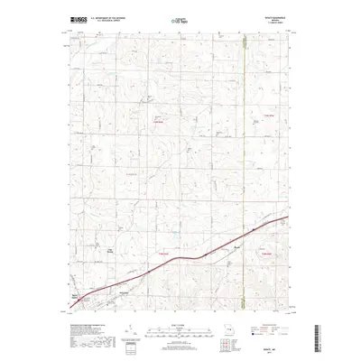
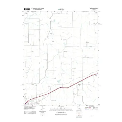 2012 Rosati2012 Print · USGSCovers Flag Spring, including St. James, Rosati, and other nearby areas
 - 2015 Map of Rosati, 2015 Print
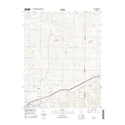 2015 Rosati2015 Print · USGSCovers Flag Spring, including St. James, Rosati, and other nearby areas
 - 2017 Map of Rosati, 2017 Print
 2017 Rosati2017 Print · USGSCovers Flag Spring, including St. James, Rosati, and other nearby areas
 - 2021 Map of Rosati, 2021 Print
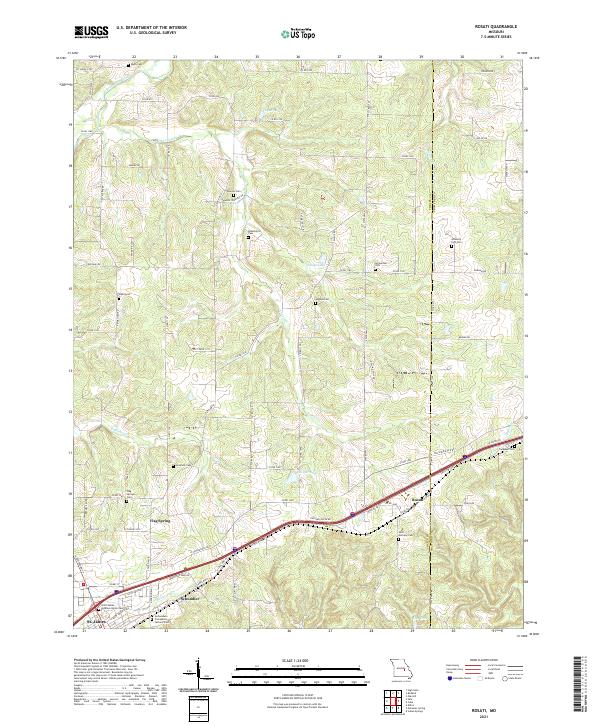 2021 Rosati2021 Print · USGSPhelps County, Missouri, is captured here in the early 2020s, showing a landscape of rural crossroads and historic family cemeteries. Researchers can trace local lineage through sites like Branstetter Cem, Flag Springs Cem, and the community of Rosati.
End of results
Showing maps 1-12 of 12
Top cities near Flag Spring
Frequently asked questions
- What are the different types of historical maps available for Flag Spring?
- What is the oldest map of Flag Spring?
- Where can I purchase historical maps of Flag Spring for my home or office?
- Where can I download high-res historical maps of Flag Spring?
- Are there historical topographic maps available for Flag Spring?
- Is there historical aerial imagery available for Flag Spring?
- Where are historical maps of Flag Spring sourced from?