Old Maps of Ashley, Missouri for Hiking & Exploration
Hike through history with 11 historic maps of Ashley. Explore old trails, ghost towns, and forgotten backroads — perfect for outdoor adventurers and local explorers.
- Rediscover forgotten places: Map out old mining camps, roads, and footpaths that no longer exist on modern maps.
- Layer with modern tools: Combine with LiDAR or satellite views to plan hikes through historical terrain.
- Made for exploration: Popular among hikers, overlanders, and local history lovers.
Use these maps to find adventure and explore the hidden past of Ashley.
Ashley, MO maps
(11)- 1890 Map of Louisiana
 1890 Louisiana1890 Print · USGSUpper Missouri and Illinois river country in the 1890s is captured here at the height of the steam-rail era. Genealogists can trace family roots through old rural outposts like New Harmony, Prairieville, and the transit hub at Bowling Green.5 unique versions available
 - 1937 Map of Bowling Green, 1958 Print
 1937 Bowling Green1958 Print · USGSPike County at the height of its rail-and-river era shows a landscape of productive orchards and small rural hamlets. Local researchers can trace the footprint of the Stark Nursery, follow the Chicago and Alton RR, and locate numerous old schools like Vine Hill Sch or the County Farm.2 unique versions available
 - 1940 Map of Bowling Green
 1940 Bowling Green1940 Print · USGSPike County at the end of the Depression reveals a landscape tied to the Mississippi River and a thriving rail network. Genealogists can trace family roots through dozens of rural landmarks like St Clement, Stark Nursery, and the Noix Creek Cem.2 unique versions available
 - 1948 Map of Quincy
 1948 Quincy1948 Print · USGSThe Mississippi and Illinois River valleys are captured at a post-war crossroads as rail and river travel met the expanding highway system. Genealogists can trace family settlements from Quincy to Hannibal and smaller towns like Vandalia and Jerseyville.2 unique versions available
 - 1956 Map of Quincy, 1967 Print
 1956 Quincy1967 Print · USGSThe river and rail corridors of the Illinois-Missouri border are documented here during the mid-1950s. Researchers can trace historic river landings and regional transit hubs from Quincy and Hannibal to smaller settlements like Meredosia and Roodhouse.3 unique versions available
 - 1978 Map of Bowling Green
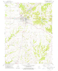 1978 Bowling Green1978 Print · USGSBowling Green and the surrounding Missouri townships of Cuivre and Ashley are documented here during the late 1970s. Researchers can trace the Illinois Central Gulf rail line and locate specific local landmarks like St Clement, Fairview Cem, and the Antioch Ch.2 unique versions available
 - 1986 Map of Mexico
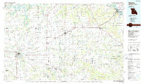 1986 Mexico1986 Print · USGSEast Central Missouri in the mid-eighties shows a landscape of steady agricultural towns and the expansive waters of Mark Twain Lake. Genealogists and historians can trace rail-side communities like Laddonia and Wellsville or locate family markers at Elwood Cem.2 unique versions available
 - 2012 Map of Bowling Green, 2012 Print
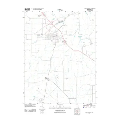 2012 Bowling Green2012 Print · USGSThe Bowling Green area in the early 2010s reflects a deep-rooted agricultural and civic history at the heart of Pike County. Researchers can locate family landmarks like Saint Clement Cemetery and Smith Cemetery or trace the waterways of Cuivre Creek.
 - 2015 Map of Bowling Green, 2015 Print
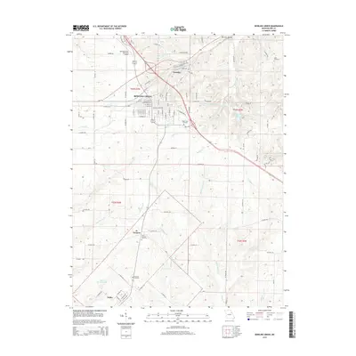 2015 Bowling Green2015 Print · USGSThe Pike County seat and its rural surroundings are captured here in the mid-2010s, showing the intersection of local commerce and the rolling prairie landscape. Researchers can locate family landmarks like Saint Clement Cemetery, Smith Cemetery, and the historic settlement at Ashley.
 - 2017 Map of Bowling Green, 2017 Print
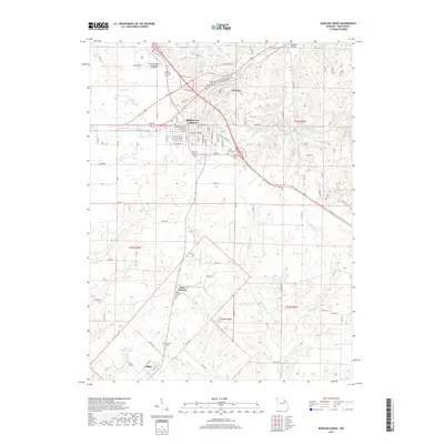 2017 Bowling Green2017 Print · USGSBowling Green and its surrounding Pike County farmland are shown in detail during the late 2010s. Researchers can trace rural cemeteries such as Saint Clement Cem and Green Lawn Cem, or locate landmarks like Bibb Lake and the settlement of Ashley.
 - 2021 Map of Bowling Green, 2021 Print
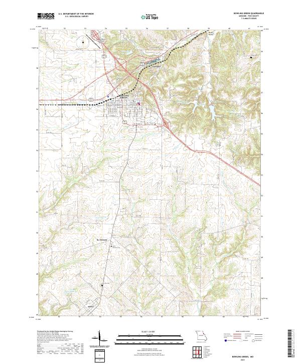 2021 Bowling Green2021 Print · USGSBowling Green and its surrounding Pike County farmland are shown in detail as they appeared in 2021. Genealogists and local historians can locate family burial sites at Saint Clement Cem or Fairview Cem and trace the rural layouts of St. Clement and Ashley.
End of results
Showing maps 1-11 of 11
Top cities near Ashley
- Bowling Green historical maps
- Louisiana historical maps
- Eolia historical maps
- Silex historical maps
- Curryville historical maps
- Middletown historical maps
See more
Frequently asked questions
- What are the different types of historical maps available for Ashley?
- What is the oldest map of Ashley?
- Where can I purchase historical maps of Ashley for my home or office?
- Where can I download high-res historical maps of Ashley?
- Are there historical topographic maps available for Ashley?
- Is there historical aerial imagery available for Ashley?
- Where are historical maps of Ashley sourced from?