Old Maps of Bowling Green, Missouri for Academic Research
Study the evolution of Bowling Green with 17 high-resolution historic maps. Whether you're teaching, researching, or modeling changes in land use, these maps provide essential visual documentation of urban, environmental, and geographic change.
- Analyze long-term change: Track patterns in development, transportation, and natural features.
- Ideal for environmental or urban studies: Support academic projects with primary historical map data.
- Use in the classroom or lab: Educators and researchers rely on these maps to bring historical context to life.
These maps are a powerful tool for teaching, research, and visualizing how Bowling Green has changed over the decades.
Bowling Green, MO maps
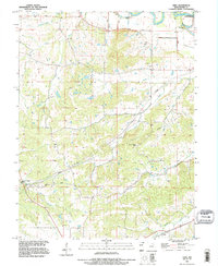
(17)- 1890 Map of Louisiana
 1890 Louisiana1890 Print · USGSUpper Missouri and Illinois river country in the 1890s is captured here at the height of the steam-rail era. Genealogists can trace family roots through old rural outposts like New Harmony, Prairieville, and the transit hub at Bowling Green.5 unique versions available
 - 1937 Map of Bowling Green, 1958 Print
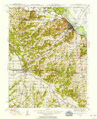 1937 Bowling Green1958 Print · USGSPike County at the height of its rail-and-river era shows a landscape of productive orchards and small rural hamlets. Local researchers can trace the footprint of the Stark Nursery, follow the Chicago and Alton RR, and locate numerous old schools like Vine Hill Sch or the County Farm.2 unique versions available
 - 1940 Map of Bowling Green
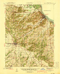 1940 Bowling Green1940 Print · USGSPike County at the end of the Depression reveals a landscape tied to the Mississippi River and a thriving rail network. Genealogists can trace family roots through dozens of rural landmarks like St Clement, Stark Nursery, and the Noix Creek Cem.2 unique versions available
 - 1948 Map of Quincy
 1948 Quincy1948 Print · USGSThe Mississippi and Illinois River valleys are captured at a post-war crossroads as rail and river travel met the expanding highway system. Genealogists can trace family settlements from Quincy to Hannibal and smaller towns like Vandalia and Jerseyville.2 unique versions available
 - 1956 Map of Quincy, 1967 Print
 1956 Quincy1967 Print · USGSThe river and rail corridors of the Illinois-Missouri border are documented here during the mid-1950s. Researchers can trace historic river landings and regional transit hubs from Quincy and Hannibal to smaller settlements like Meredosia and Roodhouse.3 unique versions available
 - 1978 Map of Bowling Green
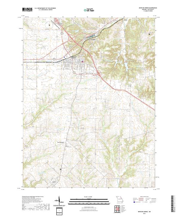
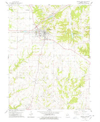 1978 Bowling Green1978 Print · USGSBowling Green and the surrounding Missouri townships of Cuivre and Ashley are documented here during the late 1970s. Researchers can trace the Illinois Central Gulf rail line and locate specific local landmarks like St Clement, Fairview Cem, and the Antioch Ch.2 unique versions available
 - 1978 Map of Vera
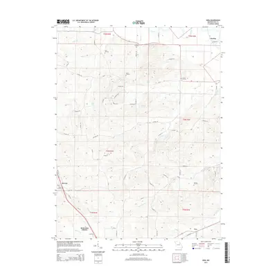
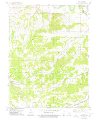 1978 Vera1978 Print · USGSPike County in the late 1970s remains a landscape shaped by its river valleys and rail lines. Historians and genealogists can trace family heritage through local landmarks like McElwee Cem, Grassy Creek Ch, and the settlements at Vera and Reading.
 - 1986 Map of Mexico
 1986 Mexico1986 Print · USGSEast Central Missouri in the mid-eighties shows a landscape of steady agricultural towns and the expansive waters of Mark Twain Lake. Genealogists and historians can trace rail-side communities like Laddonia and Wellsville or locate family markers at Elwood Cem.2 unique versions available
 - 1991 Map of Vera, 1995 Print
 1991 Vera1995 Print · USGSPike County in the early 1990s reveals a landscape shaped by the Salt River and its many tributaries. Genealogists can trace family heritage through numerous rural burial sites like Early Cem, Arthur Cem, and McElwee Cem near the settlement of Vera.
 - 2012 Map of Vera, 2012 Print
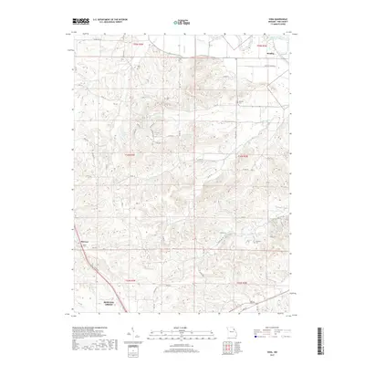
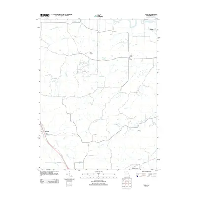 2012 Vera2012 Print · USGSCovers Bowling Green, including Reading, McCune, and other nearby areas
 - 2012 Map of Bowling Green, 2012 Print
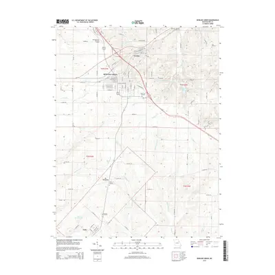
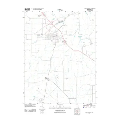 2012 Bowling Green2012 Print · USGSCovers Bowling Green, including Ashley, Tarrants, and other nearby areas
 - 2014 Map of Vera, 2014 Print
 2014 Vera2014 Print · USGSCovers Bowling Green, including Reading, McCune, and other nearby areas
 - 2015 Map of Bowling Green, 2015 Print
 2015 Bowling Green2015 Print · USGSCovers Bowling Green, including Ashley, Tarrants, and other nearby areas
 - 2017 Map of Vera, 2017 Print
 2017 Vera2017 Print · USGSCovers Bowling Green, including Reading, McCune, and other nearby areas
 - 2017 Map of Bowling Green, 2017 Print
 2017 Bowling Green2017 Print · USGSCovers Bowling Green, including Ashley, Tarrants, and other nearby areas
 - 2021 Map of Bowling Green, 2021 Print
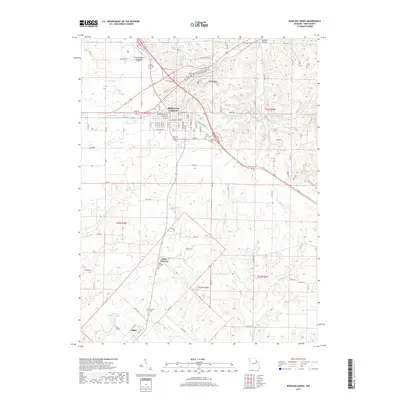
 2021 Bowling Green2021 Print · USGSBowling Green and its surrounding Pike County farmland are shown in detail as they appeared in 2021. Genealogists and local historians can locate family burial sites at Saint Clement Cem or Fairview Cem and trace the rural layouts of St. Clement and Ashley.
 - 2021 Map of Vera, 2021 Print
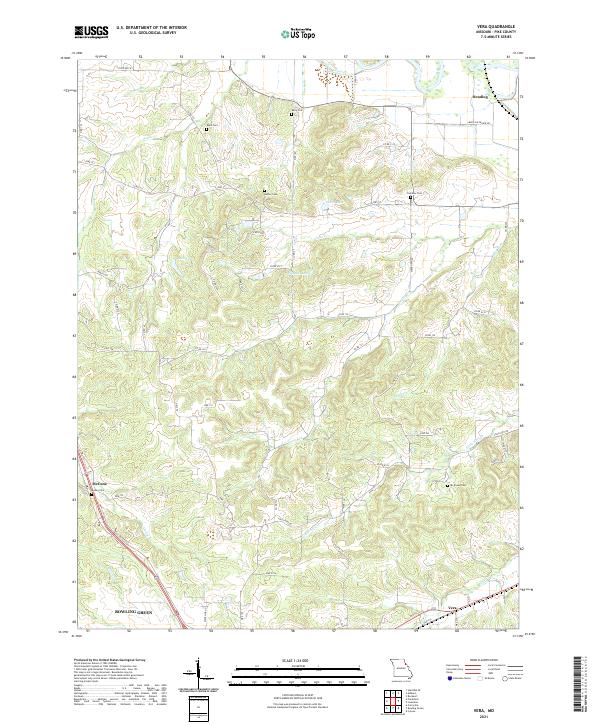 2021 Vera2021 Print · USGSThe rural uplands of Pike County are shown in detail as they appeared in 2021, centered between the growing hub of Bowling Green and the Salt River. Genealogists can trace family heritage through numerous landmarks like Gailey Cem, Mc Elwee Cem, and the settlement at Vera.
End of results
Showing maps 1-17 of 17
Top cities near Bowling Green
- Louisiana historical maps
- New London historical maps
- Eolia historical maps
- Frankford historical maps
- Silex historical maps
- Curryville historical maps
See more
Frequently asked questions
- What are the different types of historical maps available for Bowling Green?
- What is the oldest map of Bowling Green?
- Where can I purchase historical maps of Bowling Green for my home or office?
- Where can I download high-res historical maps of Bowling Green?
- Are there historical topographic maps available for Bowling Green?
- Is there historical aerial imagery available for Bowling Green?
- Where are historical maps of Bowling Green sourced from?