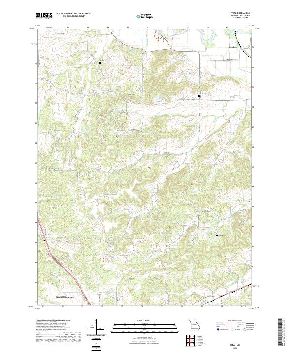
2021 Map of Vera
USGS Topo · Published 2021About this map
Bowling Green anchors the southwestern corner of this Pike County landscape, where the rolling agricultural uplands are deeply dissected by a network of drainage creeks. The terrain is defined by the winding paths of Grassy Cr and Little Noix Cr, which flow toward the eastern limits of the quadrangle. Small rural settlements like Vera, McCune, and Reading serve as markers for local history and genealogy, often centered around family-named landmarks.
Find a feature on this map
65 named features on this map. Tap any name to fly to it.
Don’t see what you’re looking for? This feature index may not catch every label — zoom into the map to look around manually.
Map Details
Editions of this 2021 Vera Map
This is the sole edition of this map. No revisions or reprints were ever made.
Other maps of this area

1890 · Louisiana
USGS Topo · 1:125,000

1931 · Barry
USGS Topo · 1:62,500

1932 · Hannibal
USGS Topo · 1:62,500

1936 · Hannibal
USGS Topo · 1:48,000

1936 · Barry
USGS Topo · 1:48,000

1937 · Bowling Green
USGS Topo · 1:62,500

1940 · Bowling Green
USGS Topo · 1:62,500

1943 · Vandalia
USGS Topo · 1:62,500

1944 · Barry
USGS Topo · 1:62,500

1945 · Hannibal
USGS Topo · 1:62,500