Old Maps of Lake Waukomis, Missouri
Explore 18 old maps of Lake Waukomis, spanning from 1890 to today. These high-resolution historic maps reveal how streets, neighborhoods, landmarks, and natural features evolved over time — perfect for genealogy, metal detecting, research, and local history exploration.
What you can do with these maps:
- See how Lake Waukomis changed over time: Compare historical maps to modern-day views to trace roads, homesites, rail lines & more.
- View detailed metadata: Each map includes creators, publishers, year, scale, and archive source.
- Overlay maps with satellite & LiDAR: Visualize the past alongside modern tools to explore terrain & human change.
- Trusted historical sources: Maps sourced from the USGS, Library of Congress, and other archives.
- Access maps your way: View online, download high-res files, or order prints for personal or research use.
Start exploring old maps of Lake Waukomis to uncover forgotten places, hidden landmarks, and the deep history beneath your feet.
Lake Waukomis, MO maps
(18)- 1890 Map of Kansas City
 1890 Kansas City1890 Print · USGSThe Missouri River valley at the turn of the decade shows a booming rail-and-river economy centered on KANSAS CITY. Researchers can trace the early footprints of settlements like White Church, Lansing, and Smithville before modern expansion.2 unique versions available
 - 1894 Map of Kansas City
 1894 Kansas City1894 Print · USGSThe Missouri River valley at the close of the nineteenth century was a bustling intersection of military life and frontier commerce. Genealogists can trace family roots through river towns like Weston and Parkville or locate early railroad hubs at Settles Station and Beverly Junction.14 unique versions available
 - 1943 Map of Quindaro
 1943 Quindaro1943 Print · USGSThe Missouri-Kansas borderlands in the 1940s reveal a landscape of expanding schools and electric transit. Trace the routes of the Kansas City and Leavenworth Electric Road and find sites like Nearman Sch and Memorial Park Cemetery.
 - 1948 Map of Parkville, 1959 Print
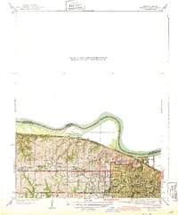
 1948 Parkville1959 Print · USGSThe Missouri River state line near Parkville comes alive in the late 1940s as post-war suburban growth meets historic riverfront industry. Researchers can trace early family sites from St Marys Cemetery to the campus of Park College and the old Western University site.
 - 1950 Map of Kansas City
 1950 Kansas City1950 Print · USGSMid-century Kansas and Missouri are captured here during a period of industrial growth and shifting transportation. Genealogists and historians can trace rail lines like the Wabash RR or locate ancestral homes near the Potawatomi Indian Reservation and Horton.
 - 1951 Map of Parkville
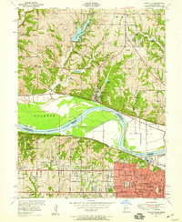
 1951 Parkville1951 Print · USGSMid-century development straddles the Missouri River between Platte and Wyandotte counties as suburban growth reaches the river bluffs. Researchers can trace historic institutions like Park College and Western University alongside many local burial grounds like St Marys Cemetery.2 unique versions available
 - 1954 Map of Kansas City
 1954 Kansas City1954 Print · USGSThe Missouri-Kansas borderlands flourished in the post-war era as river commerce and rail networks converged at the Missouri River. Genealogists and historians can trace the foundations of Kansas City and smaller rural hubs like Hiawatha or Sabetha.
 - 1956 Map of Kansas City, 1967 Print
 1956 Kansas City1967 Print · USGSThe Kansas-Missouri border region thrived during the mid-fifties, centered on the growing metropolitan cores and the busy river valleys. Researchers can trace the layout of significant government sites like Fort Leavenworth and the Lake City Army Ammunition Plant.4 unique versions available
 - 1960 Map of Kansas City
 1960 Kansas City1960 Print · USGSMid-century Kansas and Missouri meet at the river forks, showing a sprawling rail-and-river economy during the 1950s growth era. Genealogists and researchers can trace tribal lands like the Kickapoo Indian Reservation or follow the early interstate corridors through Saint Joseph and Independence.3 unique versions available
 - 1964 Map of Parkville, 1965 Print
 1964 Parkville1965 Print · USGSThe Missouri-Kansas borderlands come alive in the mid-sixties, showing the growth of Kansas City against the bluffs of Parkville. Researchers can trace old family sites at Nolan Cem and Sailor Cem or explore the early layout of Brenner Heights.8 unique versions available
 - 1983 Map of Kansas City
 1983 Kansas City1983 Print · USGSThe Missouri-Kansas borderlands reached a peak of suburban and industrial connectivity by the early eighties. Researchers can trace established neighborhoods and major landmarks like the Fort Leavenworth Military Reservation, Swope Park, and the U.S. Army Ammunition Plant.
 - 1991 Map of Parkville, 1996 Print
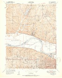
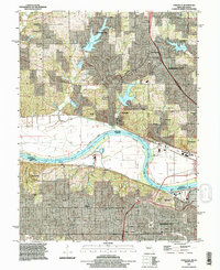 1991 Parkville1996 Print · USGSThe Missouri River loop dominates this early nineties survey of the Missouri-Kansas border area as suburban growth reaches the bluffs. Researchers can trace the development of Parkville and Weatherby Lake or locate ancestral sites like Quindaro Cem and Park College.
 - 1996 Map of Parkville, 2000 Print
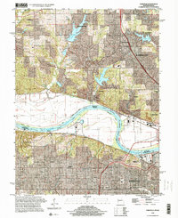 1996 Parkville2000 Print · USGSThe Missouri-Kansas state line follows the winding river valley in the mid-nineties, capturing the growth of communities on both sides of the water. Researchers can trace family history through several burial grounds, including Quindaro Cem and Nolan Cem, or explore the rail corridors of the Union Pacific RR.
 - 2010 Map of Parkville, 2010 Print
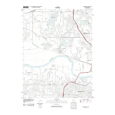 2010 Parkville2010 Print · USGSCovers Lake Waukomis, including Kansas City, Kansas City, and other nearby areas
 - 2012 Map of Parkville, 2012 Print
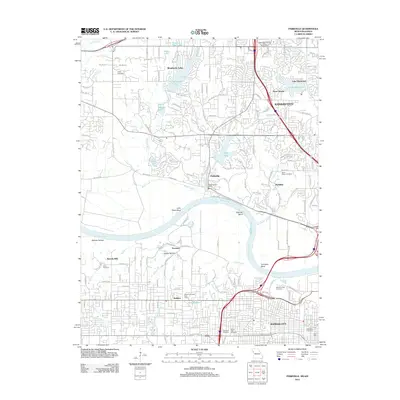 2012 Parkville2012 Print · USGSCovers Lake Waukomis, including Kansas City, Kansas City, and other nearby areas
 - 2015 Map of Parkville, 2015 Print
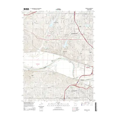 2015 Parkville2015 Print · USGSCovers Lake Waukomis, including Kansas City, Kansas City, and other nearby areas
 - 2017 Map of Parkville, 2017 Print
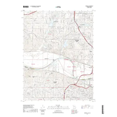 2017 Parkville2017 Print · USGSCovers Lake Waukomis, including Kansas City, Kansas City, and other nearby areas
 - 2021 Map of Parkville, 2021 Print
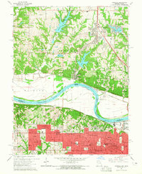
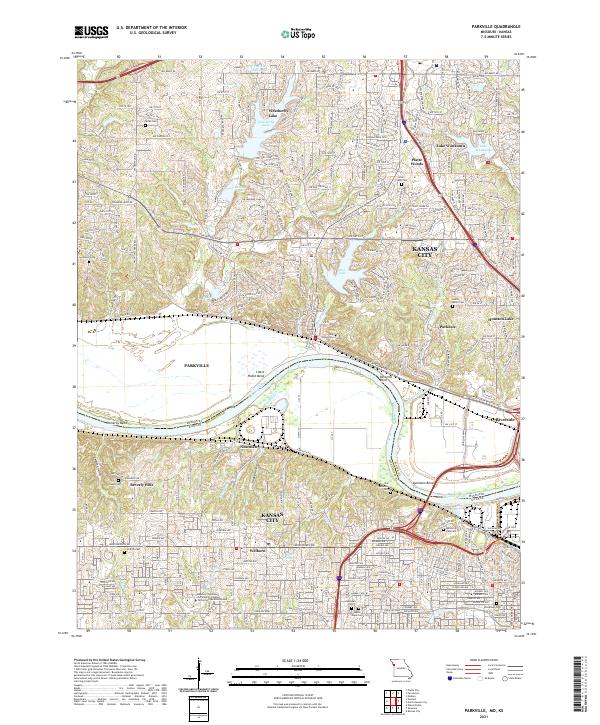 2021 Parkville2021 Print · USGSThe Missouri River borderlands near Parkville and Kansas City come into focus in this contemporary survey. Researchers can trace historic cemeteries like Saint Marys Cem and Quindaro Cem alongside the sprawling campus of Park University.
End of results
Showing maps 1-18 of 18
Top cities near Lake Waukomis
- Kansas City historical maps
- Overland Park historical maps
- Kansas City historical maps
- Independence historical maps
- Lee's Summit historical maps
- Shawnee historical maps
See more
Frequently asked questions
- What are the different types of historical maps available for Lake Waukomis?
- What is the oldest map of Lake Waukomis?
- Where can I purchase historical maps of Lake Waukomis for my home or office?
- Where can I download high-res historical maps of Lake Waukomis?
- Are there historical topographic maps available for Lake Waukomis?
- Is there historical aerial imagery available for Lake Waukomis?
- Where are historical maps of Lake Waukomis sourced from?