Old Maps of Glendale, Missouri for Academic Research
Study the evolution of Glendale with 12 high-resolution historic maps. Whether you're teaching, researching, or modeling changes in land use, these maps provide essential visual documentation of urban, environmental, and geographic change.
- Analyze long-term change: Track patterns in development, transportation, and natural features.
- Ideal for environmental or urban studies: Support academic projects with primary historical map data.
- Use in the classroom or lab: Educators and researchers rely on these maps to bring historical context to life.
These maps are a powerful tool for teaching, research, and visualizing how Glendale has changed over the decades.
Glendale, MO maps
(12)- 1912 Map of Green City, 1968 Print
 1912 Green City1968 Print · USGSNorthern Missouri at the dawn of the twentieth century reveals a landscape shaped by rural education and early rail lines. Local historians can trace dozens of country schools like Boon Hill School and vanished stops along the Quincy Omaha and Kansas City railroad.
 - 1914 Map of Green City
 1914 Green City1914 Print · USGSNorth-central Missouri thrived as a patchwork of small townships and family farms during the early twentieth century. Genealogists can trace rural life through dozens of local landmarks like Unionville, Shibley Point School, and the Kansas City and Omaha rail line.2 unique versions available
 - 1954 Map of Centerville, 1967 Print
 1954 Centerville1967 Print · USGSThe Iowa-Missouri borderlands at mid-century reveal a landscape shaped by river valleys and the height of the regional rail network. Genealogists and historians can trace the paths of the Wabash railroad and locate old townsites like Mystic, Moulton, and Greentop.3 unique versions available
 - 1957 Map of Centerville
 1957 Centerville1957 Print · USGSThe Iowa-Missouri borderlands in the mid-fifties reveal a landscape of river-valley agriculture and vital rail corridors. Genealogists and historians can trace family-named landmarks and small-town growth in Centerville, Kirksville, and along the Wabash railroad line.
 - 1958 Map of Centerville
 1958 Centerville1958 Print · USGSThe Iowa-Missouri borderlands come into focus during the mid-fifties, showing a landscape defined by river valleys and intersecting rail lines. Genealogists and local historians can trace family roots through dozens of rural hubs like Bloomfield, Unionville, and Corydon.
 - 1974 Map of Green City NE, 1976 Print
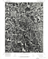 1974 Green City NE1976 Print · USGSIn the mid-1970s, the rural landscapes of Putnam County maintained a patchwork of dense timber and productive farmland. Genealogists and local historians can trace the precise layout of homesteads and road networks near Hartford and Glayville.
 - 1979 Map of Graysville
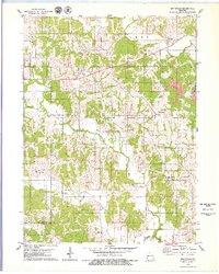 1979 Graysville1979 Print · USGSNorthern Missouri's rural townships are documented here during the late nineteen-seventies, showing a landscape of small creek-side settlements and family farms. Genealogists can trace local roots through numerous landmarks like Bunker Cem, Hartford, and the Rehobeth Ch.
 - 1981 Map of Kirksville, 1982 Print
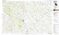 1981 Kirksville1982 Print · USGSNortheast Missouri in the early eighties was a landscape of rail-connected trade towns and significant river valleys. Researchers can trace the legacy of medical education at the Kirksville College of Osteopathic Med or locate family roots in Unionville, Edina, and Bible Grove.
 - 2012 Map of Graysville, 2012 Print
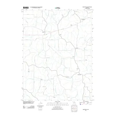 2012 Graysville2012 Print · USGSNorthern Missouri's rural landscape is captured here in the early twenty-first century, showing a region defined by agricultural crossroads and a high density of ancestral burial sites. Genealogists can trace family heritage across numerous locations like Lone Pine Cemetery, Hartford, and Graysville.
 - 2015 Map of Graysville, 2015 Print
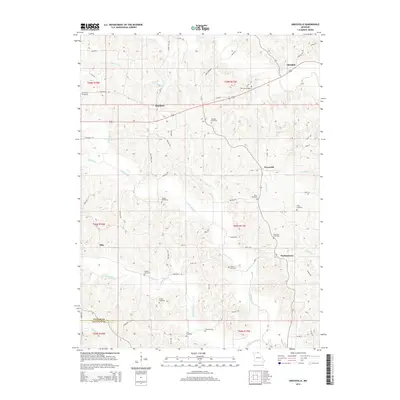 2015 Graysville2015 Print · USGSNorthern Missouri's rural landscape is captured here in the mid-2010s, showing a region of quiet settlements and deep creek valleys. Researchers can trace family history through numerous burial sites like Thompson Cemetery, Bunker Cemetery, and the Lone Pine Cemetery.
 - 2017 Map of Graysville, 2017 Print
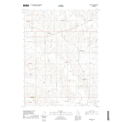 2017 Graysville2017 Print · USGSUpper Putnam County's rural hamlets and family cemeteries are captured here in the late twenty-teens. Researchers can trace ancestral locations near Martinstown and Graysville, or locate family burial sites at Lone Pine Cem and McCune Cem.
 - 2021 Map of Graysville, 2021 Print
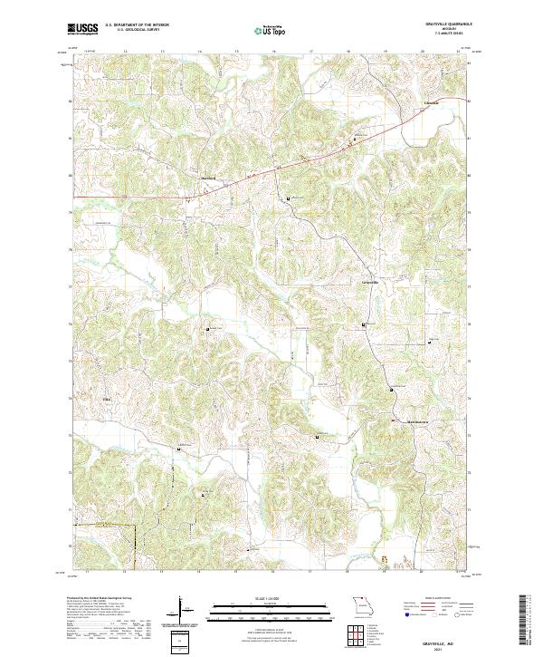 2021 Graysville2021 Print · USGSPutnam County's rural heartland is documented here in the early twenty-first century, showing a landscape of family farms and creek-carved valleys. Researchers can trace ancestral roots through numerous small burial grounds like McCune Cem, Hogg Cem, and the village of Martinstown.
End of results
Showing maps 1-12 of 12
Top cities near Glendale
- Centerville historical maps
- Lancaster historical maps
- Green City historical maps
- Queen City historical maps
- Moulton historical maps
- Cincinnati historical maps
See more
Frequently asked questions
- What are the different types of historical maps available for Glendale?
- What is the oldest map of Glendale?
- Where can I purchase historical maps of Glendale for my home or office?
- Where can I download high-res historical maps of Glendale?
- Are there historical topographic maps available for Glendale?
- Is there historical aerial imagery available for Glendale?
- Where are historical maps of Glendale sourced from?