Old Maps of Omaha, Missouri for Academic Research
Study the evolution of Omaha with 12 high-resolution historic maps. Whether you're teaching, researching, or modeling changes in land use, these maps provide essential visual documentation of urban, environmental, and geographic change.
- Analyze long-term change: Track patterns in development, transportation, and natural features.
- Ideal for environmental or urban studies: Support academic projects with primary historical map data.
- Use in the classroom or lab: Educators and researchers rely on these maps to bring historical context to life.
These maps are a powerful tool for teaching, research, and visualizing how Omaha has changed over the decades.
Omaha, MO maps
(12)- 1939 Map of Centerville, 1954 Print
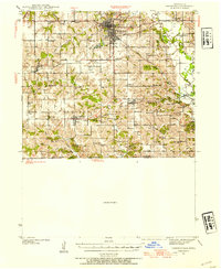 1939 Centerville1954 Print · USGSAppanoose County sits at a busy rail crossroads in the late thirties, just as the regional landscape was transitioning toward modern infrastructure. Genealogists can trace family footprints across dozens of rural landmarks like Cornbread College Sch, Jewish Cem, and Cincinnati.3 unique versions available
 - 1941 Map of Centerville
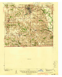 1941 Centerville1941 Print · USGSAppanoose County stands at a peak of rural development in the late thirties, where a dense network of railroads connects bustling border towns. Genealogists can trace family roots through numerous one-room schoolhouses like Cornbread College Sch and landmarks such as Livengod Cem.
 - 1954 Map of Centerville, 1967 Print
 1954 Centerville1967 Print · USGSThe Iowa-Missouri borderlands at mid-century reveal a landscape shaped by river valleys and the height of the regional rail network. Genealogists and historians can trace the paths of the Wabash railroad and locate old townsites like Mystic, Moulton, and Greentop.3 unique versions available
 - 1957 Map of Centerville
 1957 Centerville1957 Print · USGSThe Iowa-Missouri borderlands in the mid-fifties reveal a landscape of river-valley agriculture and vital rail corridors. Genealogists and historians can trace family-named landmarks and small-town growth in Centerville, Kirksville, and along the Wabash railroad line.
 - 1958 Map of Centerville
 1958 Centerville1958 Print · USGSThe Iowa-Missouri borderlands come into focus during the mid-fifties, showing a landscape defined by river valleys and intersecting rail lines. Genealogists and local historians can trace family roots through dozens of rural hubs like Bloomfield, Unionville, and Corydon.
 - 1980 Map of Omaha
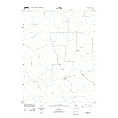
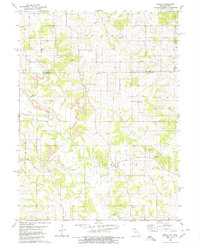 1980 Omaha1980 Print · USGSThe Missouri-Iowa border comes into focus in the late 1970s, showing a rural landscape shaped by agriculture and coal. Researchers can trace family history through several burial sites like Mitchell Cem and Summers Cem or locate the Strip Mines near Omaha.
 - 1981 Map of Centerville, 1982 Print
 1981 Centerville1982 Print · USGSThe borderlands of southern Iowa and northern Missouri are captured here in the early eighties as Rathbun Lake and the Chariton River define the local geography. Researchers can trace historic rail lines like the Norfolk and Western and locate vanished hamlets such as Coal City and Glenwood Junction.
 - 2010 Map of Omaha, 2010 Print
 2010 Omaha2010 Print · USGSCovers Omaha, including Chariton, Esper, and other nearby areas
 - 2012 Map of Omaha, 2012 Print
 2012 Omaha2012 Print · USGSCovers Omaha, including Chariton, Esper, and other nearby areas
 - 2015 Map of Omaha, 2015 Print
 2015 Omaha2015 Print · USGSCovers Omaha, including Chariton, Esper, and other nearby areas
 - 2017 Map of Omaha, 2017 Print
 2017 Omaha2017 Print · USGSCovers Omaha, including Chariton, Esper, and other nearby areas
 - 2021 Map of Omaha, 2021 Print
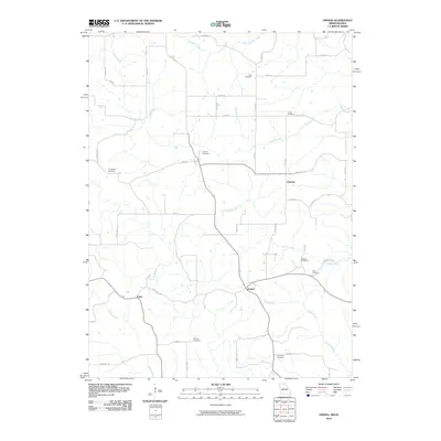
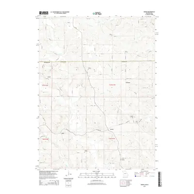
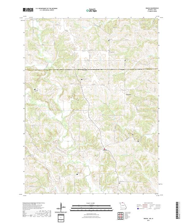 2021 Omaha2021 Print · USGSThe Missouri-Iowa border near the start of the 2020s remains a landscape of dispersed farmsteads and rural cemeteries. Researchers can trace family history through numerous local sites like Shoney Cem, Shipley Cem, and the small settlement at Omaha.
End of results
Showing maps 1-12 of 12
Top cities near Omaha
- Centerville historical maps
- Unionville historical maps
- Moulton historical maps
- Cincinnati historical maps
- Glenwood historical maps
- Exline historical maps
See more
Frequently asked questions
- What are the different types of historical maps available for Omaha?
- What is the oldest map of Omaha?
- Where can I purchase historical maps of Omaha for my home or office?
- Where can I download high-res historical maps of Omaha?
- Are there historical topographic maps available for Omaha?
- Is there historical aerial imagery available for Omaha?
- Where are historical maps of Omaha sourced from?