Old Maps of Saint John, Missouri for Genealogy
Trace your family roots with 12 historic maps of Saint John. These high-res maps reveal old neighborhoods, homesites, landmarks, and streets — helping you uncover where your ancestors lived and how the area evolved over time.
- Explore historic neighborhoods: Identify where your relatives may have lived in the 1800s or 1900s.
- Compare maps over time: Trace the changes in streets, buildings, and landmarks for multi-generational research.
- Perfect for genealogy & ancestry research: Used by family historians and researchers to map out lineage and migration.
These maps are an incredible resource for exploring your personal connection to Saint John's past.
Saint John, MO maps
(12)- 1942 Map of Seymour, 1954 Print
 1942 Seymour1954 Print · USGSSouthern Iowa and the Missouri borderlands are captured here just as the rural schoolhouse era reached its peak. Genealogists can trace family roots through dozens of local landmarks like Genoa Cem, Locust Valley Mine, and the Kniffin Sch.
 - 1944 Map of Seymour
 1944 Seymour1944 Print · USGSSouthern Iowa and northern Missouri are captured here in the early 1940s, showing a landscape defined by crossing rail lines and small-town junctions. Genealogists can locate numerous country schools and burial sites like Genoa Cem, Schultz Cem, and Happy Hollow Sch.2 unique versions available
 - 1954 Map of Centerville, 1967 Print
 1954 Centerville1967 Print · USGSThe Iowa-Missouri borderlands at mid-century reveal a landscape shaped by river valleys and the height of the regional rail network. Genealogists and historians can trace the paths of the Wabash railroad and locate old townsites like Mystic, Moulton, and Greentop.3 unique versions available
 - 1957 Map of Centerville
 1957 Centerville1957 Print · USGSThe Iowa-Missouri borderlands in the mid-fifties reveal a landscape of river-valley agriculture and vital rail corridors. Genealogists and historians can trace family-named landmarks and small-town growth in Centerville, Kirksville, and along the Wabash railroad line.
 - 1958 Map of Centerville
 1958 Centerville1958 Print · USGSThe Iowa-Missouri borderlands come into focus during the mid-fifties, showing a landscape defined by river valleys and intersecting rail lines. Genealogists and local historians can trace family roots through dozens of rural hubs like Bloomfield, Unionville, and Corydon.
 - 1979 Map of St. John, 1980 Print
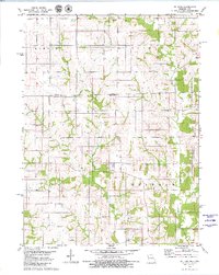 1979 St. John1980 Print · USGSThe Iowa and Missouri borderlands are captured here in the late seventies, showing the rural junction of Wayne and Putnam counties. Genealogists can locate family landmarks like Harris Cem, Torrey Cem, and the quiet settlement of St John.
 - 1981 Map of Leon, 1982 Print
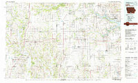 1981 Leon1982 Print · USGSSouthern Iowa and northern Missouri are captured here in the early eighties as the rural landscape balances traditional agriculture with large-scale water management. Researchers can trace the path of the Burlington Northern through Leon or locate early settlements like Decatur City and New Buda.
 - 2010 Map of Saint John, 2010 Print
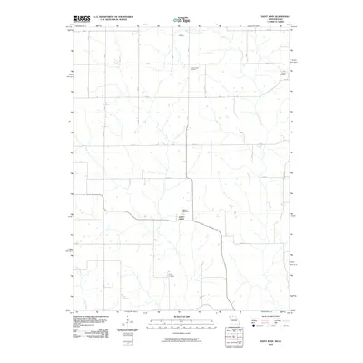 2010 Saint John2010 Print · USGSSaint John and the surrounding Putnam County borderlands are documented here in the early twenty-first century. Genealogists can locate several historic burial grounds such as Harris Cemetery and Genoa Cemetery along the drainage of Locust Creek.
 - 2012 Map of Saint John, 2012 Print
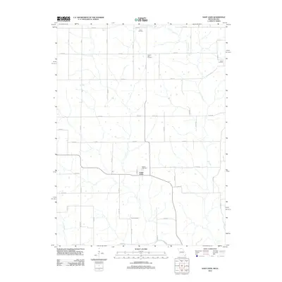 2012 Saint John2012 Print · USGSThe Missouri-Iowa borderlands near the turn of the decade are captured here in meticulous detail. Genealogists can trace family heritage across Harris Cemetery, Genoa Cemetery, and the community of Saint John as it appeared in the early twenty-first century.
 - 2014 Map of Saint John, 2014 Print
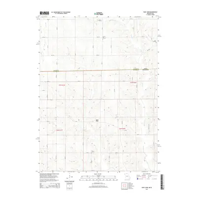 2014 Saint John2014 Print · USGSThe Missouri-Iowa borderlands come into focus in this study of the rural landscape around Saint John in the early 2010s. Genealogists and local historians can locate several historic burial grounds, including Pleasant View Cemetery, Genoa Cemetery, and Torrey Cemetery.
 - 2017 Map of Saint John, 2017 Print
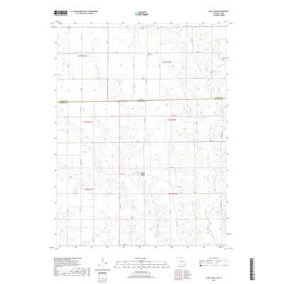 2017 Saint John2017 Print · USGSCrossing the Iowa-Missouri border in the 2010s, this area reflects the quiet continuity of Missouri's northern hills. Genealogists can trace family connections through local sites like Saint John and the well-preserved Pleasant View Cem and Torrey Cem.
 - 2021 Map of Saint John, 2021 Print
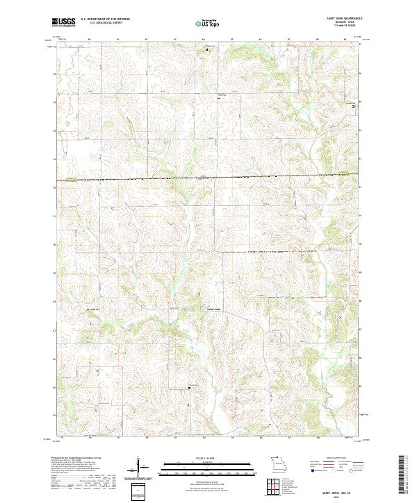 2021 Saint John2021 Print · USGSThe Missouri-Iowa borderlands come into focus in this recent survey of the Saint John area. Genealogists can locate family burial sites at Harris Cem, Genoa Cem, or Torrey Cem and trace the early road network near Locust Cr.
End of results
Showing maps 1-12 of 12
Top cities near Saint John
- Unionville historical maps
- Corydon historical maps
- Seymour historical maps
- Allerton historical maps
- Newtown historical maps
- Pollock historical maps
See more
Frequently asked questions
- What are the different types of historical maps available for Saint John?
- What is the oldest map of Saint John?
- Where can I purchase historical maps of Saint John for my home or office?
- Where can I download high-res historical maps of Saint John?
- Are there historical topographic maps available for Saint John?
- Is there historical aerial imagery available for Saint John?
- Where are historical maps of Saint John sourced from?