2020s Maps of Ralls County, Missouri
Explore 18 historic maps of Ralls County from the 2020s. These maps offer a rare glimpse into what life looked like during the 2020s — showing old roads, neighborhoods, homes, and landmarks that have changed or disappeared over time.
Whether you're researching your family's past, planning a metal detecting trip, or studying how Ralls County's landscape evolved across the 2020s, these high-resolution maps are a powerful tool for exploring the history of this region.
- Focus on a specific era: All maps on this page are from the 2020s, giving you a focused view of this time period.
- See what’s changed: Compare century-old streets, trails, and buildings to today's modern landscape using overlays and satellite layers.
- Research with precision: Use these maps for genealogy, historical research, land use analysis, or educational projects.
- View, download, or print: Maps are fully viewable online in high resolution, and can be downloaded or printed for your own records.
Start exploring Ralls County's history through authentic maps from the 2020s. This is your window into the past.
Ralls County, MO maps
(18)- 2021 Map of Hull, 2021 Print
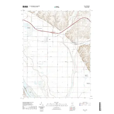 2021 Hull2021 Print · USGSCovers Ralls County, including Hull, Kinderhook, and other nearby areas
 - 2021 Map of Rensselaer, 2021 Print
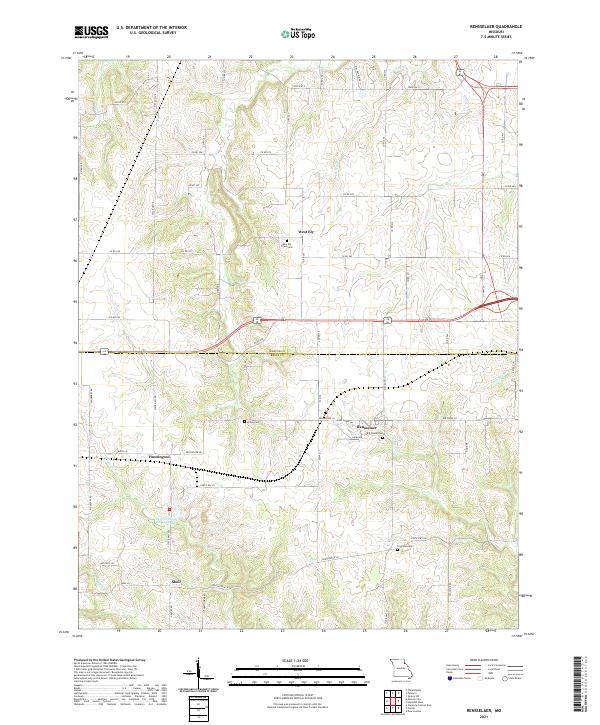 2021 Rensselaer2021 Print · USGSThe rural border of Marion and Ralls Counties comes into focus in this recent survey of Missouri's agricultural heartland. Researchers can trace the heritage of local settlements like West Ely and Rensselaer or locate family burial grounds including Finley Cem and Big Creek Cem.
 - 2021 Map of Hannibal SE, 2021 Print
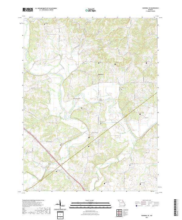 2021 Hannibal SE2021 Print · USGSNortheast Missouri’s river country comes into focus in this recent survey of the Ralls and Pike County border. Genealogists can locate over a dozen family burial grounds including Epperson Cem, Tapley Cem, and Sinklear Cem along the winding Salt River.
 - 2021 Map of New London, 2021 Print
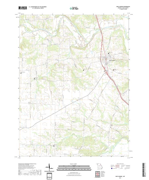 2021 New London2021 Print · USGSThe county seat of New London and the surrounding Ralls County countryside are captured here in the early twenty-first century. Genealogists and local researchers can locate numerous burial grounds such as Barkley Cem, Salem Cem, and the landmark Ralls County Courthouse.
 - 2021 Map of Vandalia, 2021 Print
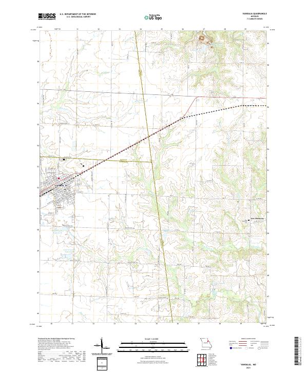 2021 Vandalia2021 Print · USGSThe community of Vandalia and the neighboring settlement of New Harmony appear here amidst a landscape of agricultural water management and family landmarks. Genealogists can locate burials at Vandalia Cem or trace the drainage of McDowell Br through the tri-county borderlands.
 - 2021 Map of Frankford, 2021 Print
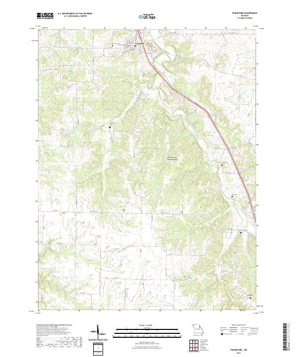 2021 Frankford2021 Print · USGSFrankford and the surrounding Pike County hills are mapped here during the early twenty-first century, showing a landscape of deep creek valleys and rural farm roads. Genealogists can locate family burial grounds like Mount Pleasant Cem and Wright Cem or trace the path to DuChien Cave Natural Bridge.
 - 2021 Map of Monroe City, 2021 Print
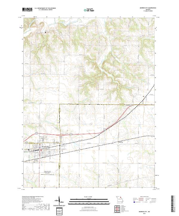 2021 Monroe City2021 Print · USGSMonroe City and its tri-county surroundings are mapped here during the early twenty-first century, showing the intersection of rural life and regional infrastructure. Genealogists and local historians can trace the town's detailed street grid and find landmarks like Saint Judes Cem, Cobb Cem, and the Captain Ben Smith Airfield.
 - 2021 Map of Farber, 2021 Print
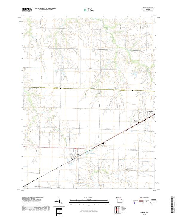 2021 Farber2021 Print · USGSSettlement and agriculture converge on the Missouri prairie in the 2020s. Researchers can trace local landmarks like Evergreen Memorial Gardens Cem, Alton Lake, and the rural crossroads of Farber and Vandalia.
 - 2021 Map of Hutchison, 2021 Print
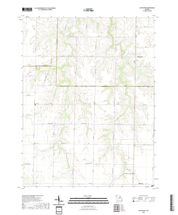 2021 Hutchison2021 Print · USGSAudrain County and its neighbors are captured here in the early 2020s, showcasing a landscape defined by traditional agriculture and small-town Missouri life. Researchers can trace local heritage through sites like Corinth Cemetery, the settlement of Hutchison, and Schlemmer Airport.
 - 2021 Map of Center, 2021 Print
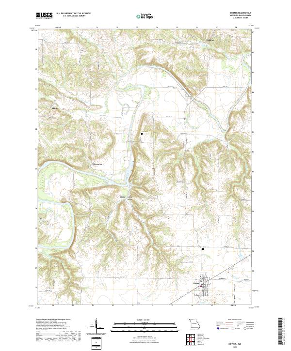 2021 Center2021 Print · USGSRalls County in the early twenty-first century reveals a landscape defined by the winding Salt River and its rural outposts. Genealogists and historians can trace the foundations of Center and Cincinnati, or locate family sites at Norton Cem and Asher Bridge.
 - 2021 Map of Perry NE, 2021 Print
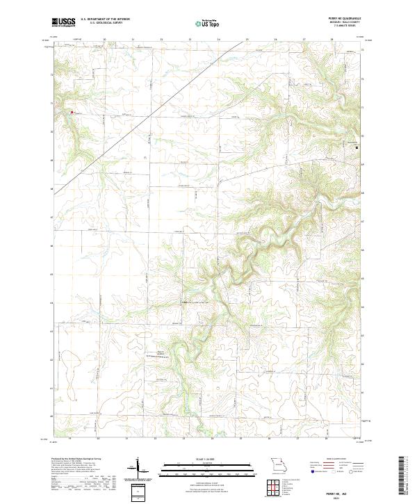 2021 Perry NE2021 Print · USGSIn the rolling countryside of Ralls County during the early 2020s, a network of rural trails and state highways connects long-standing local landmarks. Genealogists and researchers can locate the Madisonville Cem or trace the winding courses of Spencer Creek and Hippo Br.
 - 2021 Map of Spencerburg, 2021 Print
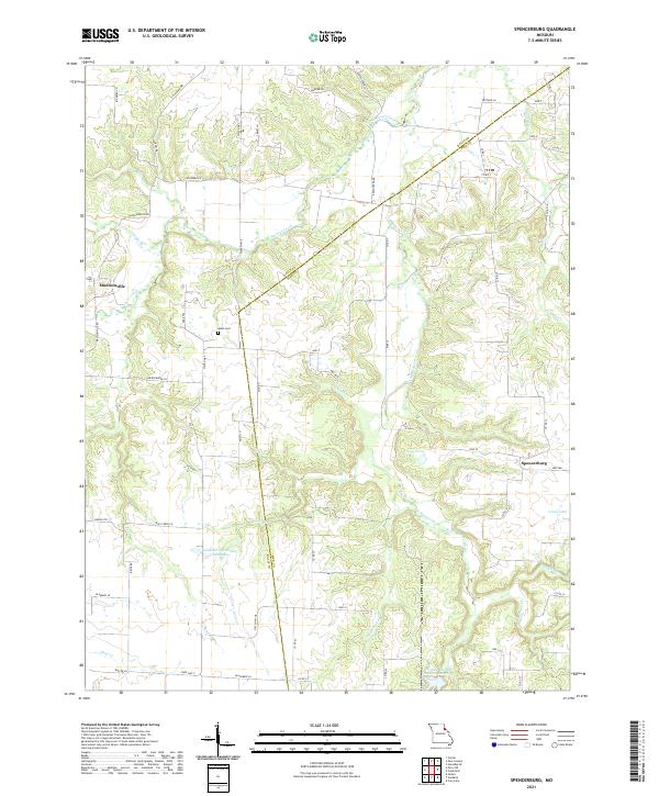 2021 Spencerburg2021 Print · USGSThe borderlands of Pike and Ralls counties come into focus in this recent look at a deeply rooted Missouri agricultural region. Genealogists and local researchers can trace the area around Spencerburg and Madisonville, locating landmarks like Adiel Cem and Neal Pond.
 - 2021 Map of Perry, 2021 Print
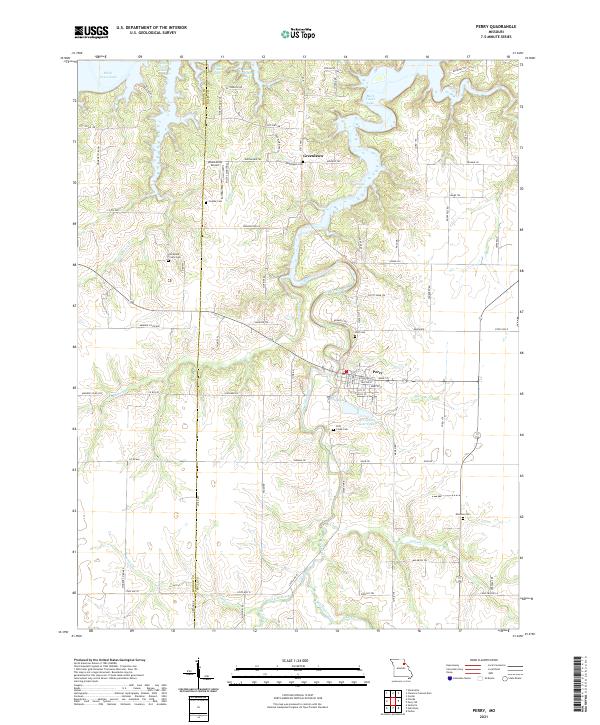 2021 Perry2021 Print · USGSThe rural landscape around Perry, Missouri, is captured here in the early 2020s, showing the intersection of Ralls and Monroe counties. Researchers can trace numerous local burial grounds like Scobee Cem, Wolf Cem, and Muldrow Cem tucked among the inlets of Mark Twain Lake.
 - 2021 Map of Hannibal West, 2021 Print
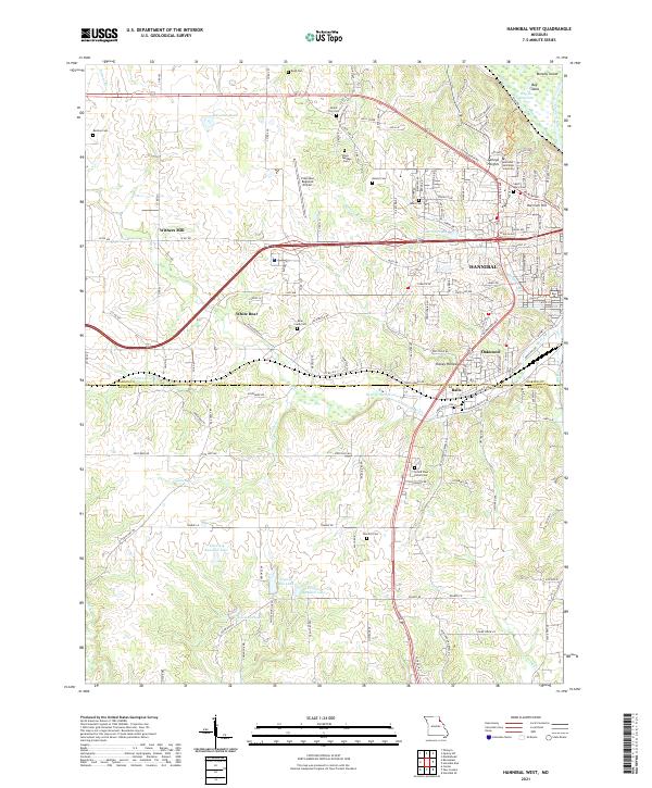 2021 Hannibal West2021 Print · USGSThe western fringes of Hannibal come into focus in the early 2020s, documenting the area's modern campus and airport infrastructure. Researchers can trace family history at Grand View Burial Park or locate the rural communities of Withers Mill and White Bear.
 - 2021 Map of Clarence Cannon Dam, 2021 Print
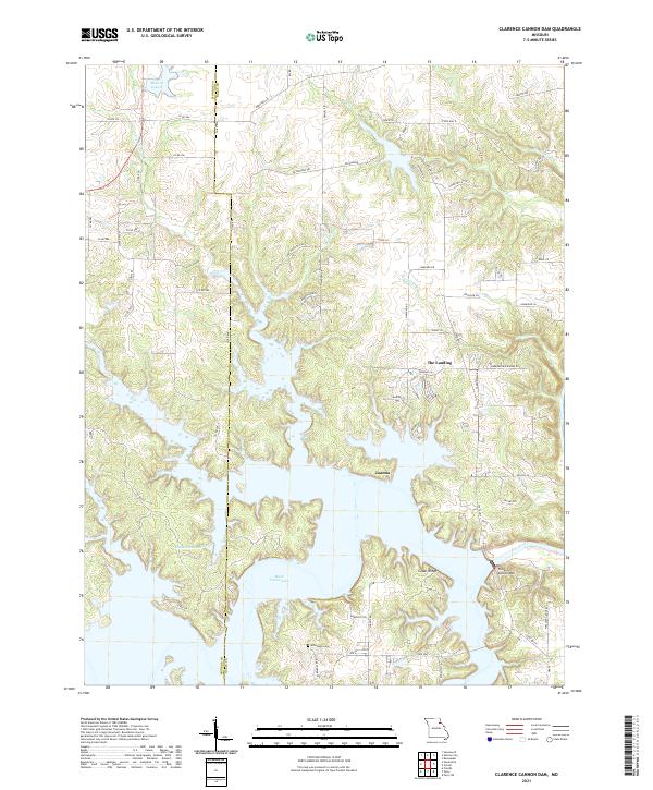 2021 Clarence Cannon Dam2021 Print · USGSIn the Ralls and Monroe County borderlands, this modern landscape is defined by the massive engineering of the Clarence Cannon Dam. Local historians can trace the shoreline of Mark Twain Lake alongside earlier sites like the Utterback Cem and the settlement of Joanna.
 - 2021 Map of Ashburn, 2021 Print
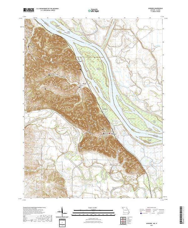 2021 Ashburn2021 Print · USGSThe Mississippi River bottoms of Pike County come into focus in this contemporary survey of the Missouri-Illinois border. Local historians can trace the relationship between river communities like Ashburn and Busch and family landmarks such as Jolly Cem and Pickerton Hill.
 - 2021 Map of Hannibal East, 2021 Print
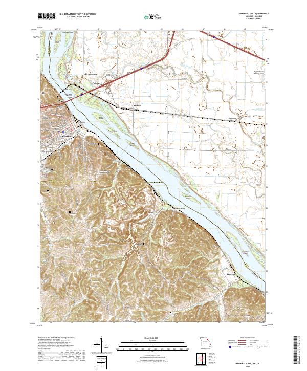 2021 Hannibal East2021 Print · USGSThe riverfront at Hannibal and the rugged bluffs of Ralls County are captured here in the early twenty-first century. Family historians can locate numerous burial grounds like Riverside Cem and Marble Creek Cem or trace the old river roads near Saverton.
 - 2024 Map of Hull, 2024 Print
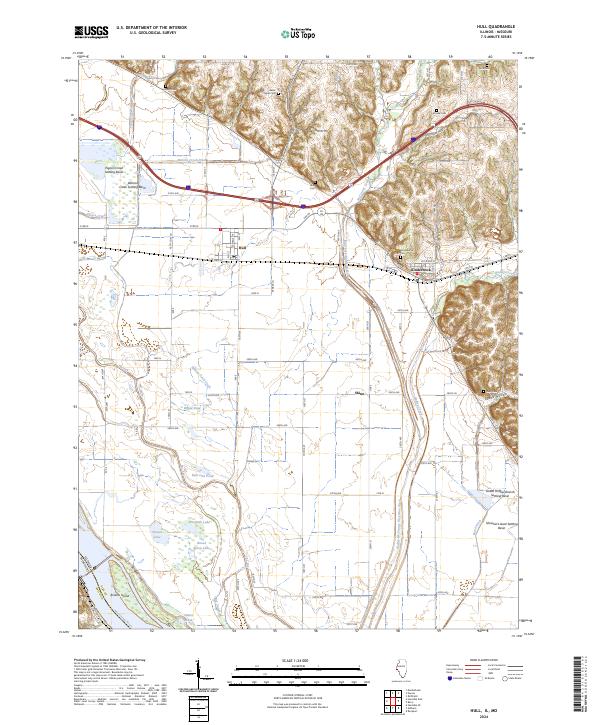 2024 Hull2024 Print · USGSThe Pike County riverlands and bluffs come into focus during this modern era, documenting a landscape shaped by the Mississippi River and sophisticated drainage. Trace family sites at Akers Chapel Cem or explore the settlements of Hull and Kinderhook.
End of results
Showing maps 1-18 of 18
Top cities of Ralls County
Frequently asked questions
- What are the different types of historical maps available for Ralls County?
- What is the oldest map of Ralls County?
- Where can I purchase historical maps of Ralls County for my home or office?
- Where can I download high-res historical maps of Ralls County?
- Are there historical topographic maps available for Ralls County?
- Is there historical aerial imagery available for Ralls County?
- Where are historical maps of Ralls County sourced from?