Old Maps of Center, Missouri for Academic Research
Study the evolution of Center with 10 high-resolution historic maps. Whether you're teaching, researching, or modeling changes in land use, these maps provide essential visual documentation of urban, environmental, and geographic change.
- Analyze long-term change: Track patterns in development, transportation, and natural features.
- Ideal for environmental or urban studies: Support academic projects with primary historical map data.
- Use in the classroom or lab: Educators and researchers rely on these maps to bring historical context to life.
These maps are a powerful tool for teaching, research, and visualizing how Center has changed over the decades.
Center, MO maps
(10)- 1903 Map of Palmyra
 1903 Palmyra1903 Print · USGSNortheast Missouri at the start of the twentieth century was a landscape of river-valley farming and critical rail junctions. Researchers can trace early rural life through features like Sharp Mills, St. Pauls Ch., and the crossing of the Hannibal and St. Joseph R. R.2 unique versions available
 - 1948 Map of Quincy
 1948 Quincy1948 Print · USGSThe Mississippi and Illinois River valleys are captured at a post-war crossroads as rail and river travel met the expanding highway system. Genealogists can trace family settlements from Quincy to Hannibal and smaller towns like Vandalia and Jerseyville.2 unique versions available
 - 1956 Map of Quincy, 1967 Print
 1956 Quincy1967 Print · USGSThe river and rail corridors of the Illinois-Missouri border are documented here during the mid-1950s. Researchers can trace historic river landings and regional transit hubs from Quincy and Hannibal to smaller settlements like Meredosia and Roodhouse.3 unique versions available
 - 1959 Map of Center, 1960 Print
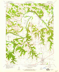 1959 Center1960 Print · USGSRalls County is defined by the winding course of the Salt River in the late fifties, where small farming communities are connected by narrow valley roads. Genealogists and historians can locate rural landmarks like Sidney Sch, the Olivet Cem, and the river crossing at Asher Bridge.2 unique versions available
 - 1986 Map of Quincy
 1986 Quincy1986 Print · USGSThe tri-state border region along the Mississippi River comes into focus during the mid-1980s. Researchers can trace the legacy of river towns and rail hubs like Quincy and Monroe City or locate landmarks such as Mount Olive Cem.2 unique versions available
 - 1991 Map of Center, 1995 Print
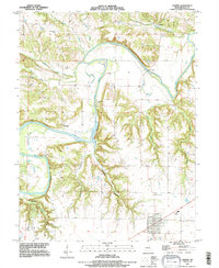 1991 Center1995 Print · USGSRalls County's river-cut terrain is shown in the early nineties, centered on the community of Center and the winding Salt River. Researchers can trace rural lineages through sites like Greathouse Cem or locate old river crossings such as Asher Bridge.
 - 2012 Map of Center, 2012 Print
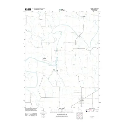 2012 Center2012 Print · USGSThe Ralls County countryside around the town of Center is captured here in the early twenty-first century as a network of river-bottom farms and quiet crossroads. Genealogists can locate family landmarks like Greathouse Cemetery and trace the winding paths of the Salt River and Owl Creek.
 - 2015 Map of Center, 2015 Print
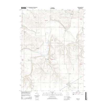 2015 Center2015 Print · USGSRalls County's rural landscape and river valleys are captured here in the mid-2010s, centered on the historic town of Center. Researchers can locate family landmarks like Greathouse Cemetery, the Asher Bridge crossing, and small communities such as Spalding and Hatch.
 - 2017 Map of Center, 2017 Print
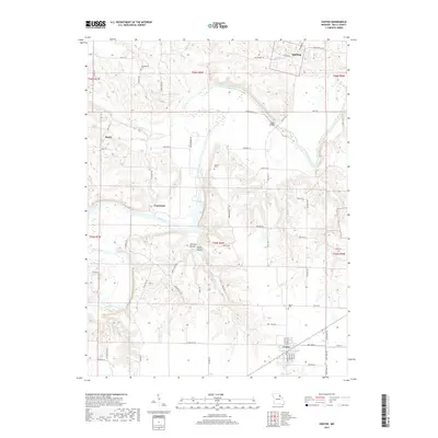 2017 Center2017 Print · USGSMissouri's Ralls County backcountry is shown here in the late twenty-teens as a landscape of river-bend settlements and deep hollows. Family historians can locate several local burial sites, including Greathouse Cem, or trace the path of the Salt River past Asher Bridge and the community of Cincinnati.
 - 2021 Map of Center, 2021 Print
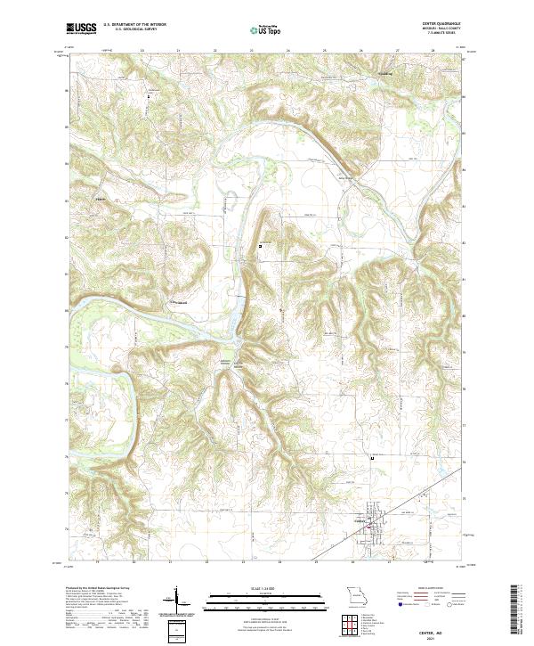 2021 Center2021 Print · USGSRalls County in the early twenty-first century reveals a landscape defined by the winding Salt River and its rural outposts. Genealogists and historians can trace the foundations of Center and Cincinnati, or locate family sites at Norton Cem and Asher Bridge.
End of results
Showing maps 1-10 of 10
Top cities near Center
- Hannibal historical maps
- Vandalia historical maps
- Monroe City historical maps
- New London historical maps
- Perry historical maps
- Frankford historical maps
See more
Frequently asked questions
- What are the different types of historical maps available for Center?
- What is the oldest map of Center?
- Where can I purchase historical maps of Center for my home or office?
- Where can I download high-res historical maps of Center?
- Are there historical topographic maps available for Center?
- Is there historical aerial imagery available for Center?
- Where are historical maps of Center sourced from?