Old Maps of Center, Missouri for Metal Detecting
Plan your next treasure hunt with 10 historic maps of Center. Find old homesites, ghost towns, trails, and gathering spots that may be lost to time — perfect for identifying promising metal detecting locations.
- Locate forgotten sites: Uncover places like long-lost settlements, abandoned rail lines, or gathering spots.
- Plan better hunts: Use map overlays combined with LiDAR or satellite views to narrow in on historically rich areas.
- Made for detectorists: Thousands of hobbyists use these maps to discover relics, coins, and hidden history.
Use these historic maps to boost your research and find new opportunities beneath the surface of Center.
Center, MO maps
(10)- 1903 Map of Palmyra
 1903 Palmyra1903 Print · USGSNortheast Missouri at the start of the twentieth century was a landscape of river-valley farming and critical rail junctions. Researchers can trace early rural life through features like Sharp Mills, St. Pauls Ch., and the crossing of the Hannibal and St. Joseph R. R.2 unique versions available
 - 1948 Map of Quincy
 1948 Quincy1948 Print · USGSThe Mississippi and Illinois River valleys are captured at a post-war crossroads as rail and river travel met the expanding highway system. Genealogists can trace family settlements from Quincy to Hannibal and smaller towns like Vandalia and Jerseyville.2 unique versions available
 - 1956 Map of Quincy, 1967 Print
 1956 Quincy1967 Print · USGSThe river and rail corridors of the Illinois-Missouri border are documented here during the mid-1950s. Researchers can trace historic river landings and regional transit hubs from Quincy and Hannibal to smaller settlements like Meredosia and Roodhouse.3 unique versions available
 - 1959 Map of Center, 1960 Print
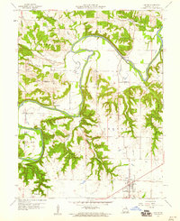 1959 Center1960 Print · USGSRalls County is defined by the winding course of the Salt River in the late fifties, where small farming communities are connected by narrow valley roads. Genealogists and historians can locate rural landmarks like Sidney Sch, the Olivet Cem, and the river crossing at Asher Bridge.2 unique versions available
 - 1986 Map of Quincy
 1986 Quincy1986 Print · USGSThe tri-state border region along the Mississippi River comes into focus during the mid-1980s. Researchers can trace the legacy of river towns and rail hubs like Quincy and Monroe City or locate landmarks such as Mount Olive Cem.2 unique versions available
 - 1991 Map of Center, 1995 Print
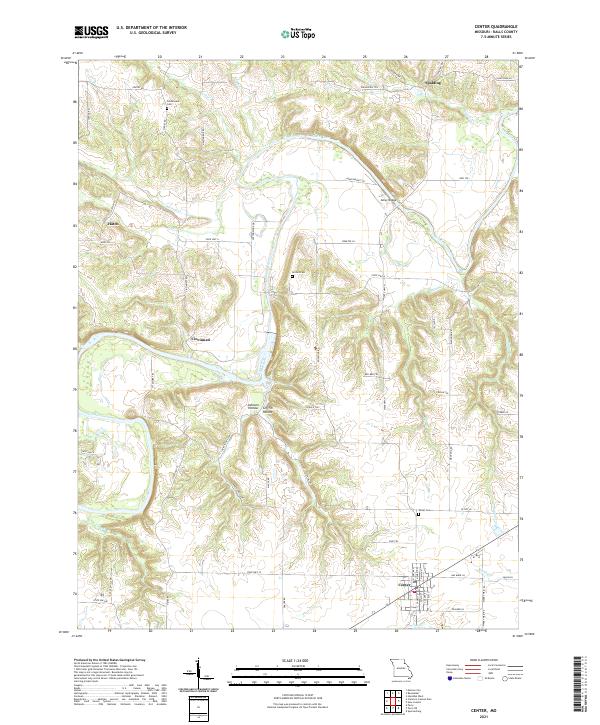
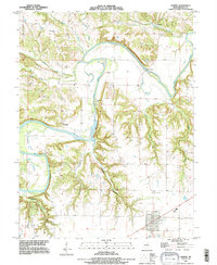 1991 Center1995 Print · USGSRalls County's river-cut terrain is shown in the early nineties, centered on the community of Center and the winding Salt River. Researchers can trace rural lineages through sites like Greathouse Cem or locate old river crossings such as Asher Bridge.
 - 2012 Map of Center, 2012 Print
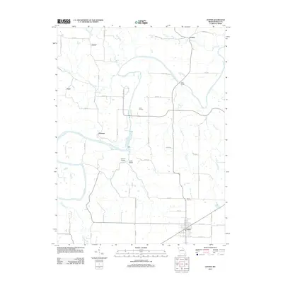 2012 Center2012 Print · USGSCovers Center, including Spalding, Cincinnati, and other nearby areas
 - 2015 Map of Center, 2015 Print
 2015 Center2015 Print · USGSCovers Center, including Spalding, Cincinnati, and other nearby areas
 - 2017 Map of Center, 2017 Print
 2017 Center2017 Print · USGSCovers Center, including Spalding, Cincinnati, and other nearby areas
 - 2021 Map of Center, 2021 Print
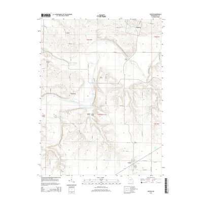
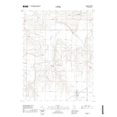
 2021 Center2021 Print · USGSRalls County in the early twenty-first century reveals a landscape defined by the winding Salt River and its rural outposts. Genealogists and historians can trace the foundations of Center and Cincinnati, or locate family sites at Norton Cem and Asher Bridge.
End of results
Showing maps 1-10 of 10
Top cities near Center
- Hannibal historical maps
- Vandalia historical maps
- Monroe City historical maps
- New London historical maps
- Perry historical maps
- Frankford historical maps
See more
Frequently asked questions
- What are the different types of historical maps available for Center?
- What is the oldest map of Center?
- Where can I purchase historical maps of Center for my home or office?
- Where can I download high-res historical maps of Center?
- Are there historical topographic maps available for Center?
- Is there historical aerial imagery available for Center?
- Where are historical maps of Center sourced from?