Old Maps of Jacksonville, Missouri for Hiking & Exploration
Hike through history with 12 historic maps of Jacksonville. Explore old trails, ghost towns, and forgotten backroads — perfect for outdoor adventurers and local explorers.
- Rediscover forgotten places: Map out old mining camps, roads, and footpaths that no longer exist on modern maps.
- Layer with modern tools: Combine with LiDAR or satellite views to plan hikes through historical terrain.
- Made for exploration: Popular among hikers, overlanders, and local history lovers.
Use these maps to find adventure and explore the hidden past of Jacksonville.
Jacksonville, MO maps
(12)- 1908 Map of Macon, 1965 Print
 1908 Macon1965 Print · USGSMacon County and its neighbors are seen here in the early twentieth century, as rail lines and river forks defined the local economy. Genealogists can locate family landmarks among dozens of rural schoolhouses and churches like Bethlehem Church and Prairie Dale School.
 - 1910 Map of Macon
 1910 Macon1910 Print · USGSMacon County's rural landscape is captured here in the decade before the Great War, showing a territory defined by railroad towns and isolated river mills. Genealogists can trace family roots through numerous country landmarks like Blees Military Academy, Levick Mill, and the Bear Thicket School.
 - 1953 Map of Moberly
 1953 Moberly1953 Print · USGSMid-century north-central Missouri is documented here as a bustling intersection of river commerce and heavy rail. Researchers can trace historic family-named landmarks and transport hubs from the Missouri River corridor to the rail yards of Moberly, Chillicothe, and Macon.
 - 1954 Map of Moberly, 1969 Print
 1954 Moberly1969 Print · USGSMid-century Missouri is captured here during a period of transition for its river towns and rail hubs. Genealogists and historians can trace the paths of the Wabash railroad through Moberly or explore the riverside layout of Lexington and Brunswick.3 unique versions available
 - 1957 Map of Moberly
 1957 Moberly1957 Print · USGSNorth-central Missouri in the late nineteen-forties and fifties remains a landscape defined by its great rivers and a dense network of steam and diesel rail lines. Genealogists and historians can trace the paths of the Wabash RR and Santa Fe RR through historic junctions like Moberly, Brookfield, and Macon.
 - 1960 Map of Moberly
 1960 Moberly1960 Print · USGSCentral Missouri comes alive in the mid-twentieth century as a bustling network of river towns and significant rail corridors. Genealogists and historians can trace the paths of the Wabash RR through Moberly or explore the riverfronts of Lexington and Brunswick.
 - 1971 Map of Jacksonville, 1972 Print
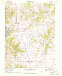 1971 Jacksonville1972 Print · USGSRandolph County's northern townships are captured here in the early 1970s as the rail-to-road economy centered on the Norfolk and Western line. Researchers can locate several rural landmarks including the Grand Prairie Cemetery, Mt Salem Church, and the industrial footprint of a Strip Mine.2 unique versions available
 - 1981 Map of Macon
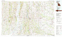 1981 Macon1981 Print · USGSNorthern Missouri's rail-and-river landscape is captured here in the early eighties, centered on the crossroads of Macon. Researchers can trace old cemetery sites like St Marys Cem, local landmarks such as College Mound, and the routes of the Burlington Northern railroad.
 - 2012 Map of Jacksonville, 2012 Print
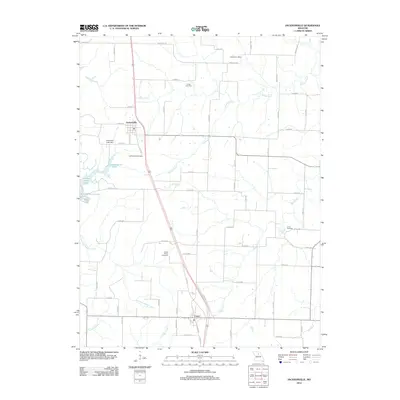 2012 Jacksonville2012 Print · USGSRandolph County in the early twenty-first century reveals a landscape of enduring rural settlements and historic family sites. Genealogists can locate several significant burial grounds like Grand Prairie Cemetery and the site of the Snow Post Office.
 - 2014 Map of Jacksonville, 2014 Print
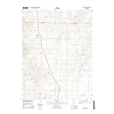 2014 Jacksonville2014 Print · USGSRandolph and Macon counties come together in this contemporary look at the rural landscape surrounding Jacksonville in the 2010s. Researchers can locate several family and community burial sites like Union Cemetery or Grand Prairie Cemetery while tracing the winding paths of Hoover Creek and Mud Creek.
 - 2017 Map of Jacksonville, 2017 Print
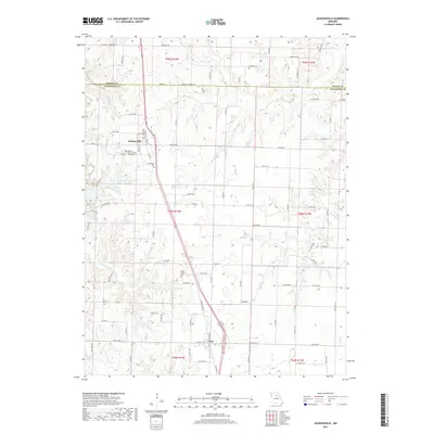 2017 Jacksonville2017 Print · USGSRandolph and Macon counties are shown in detail here during the late twenty-teens, capturing the rural character of the Missouri plains. Researchers can locate numerous burial sites and family landmarks like Colter Cem, Jacksonville Cem, and the waters of Hisle Lake.
 - 2021 Map of Jacksonville, 2021 Print
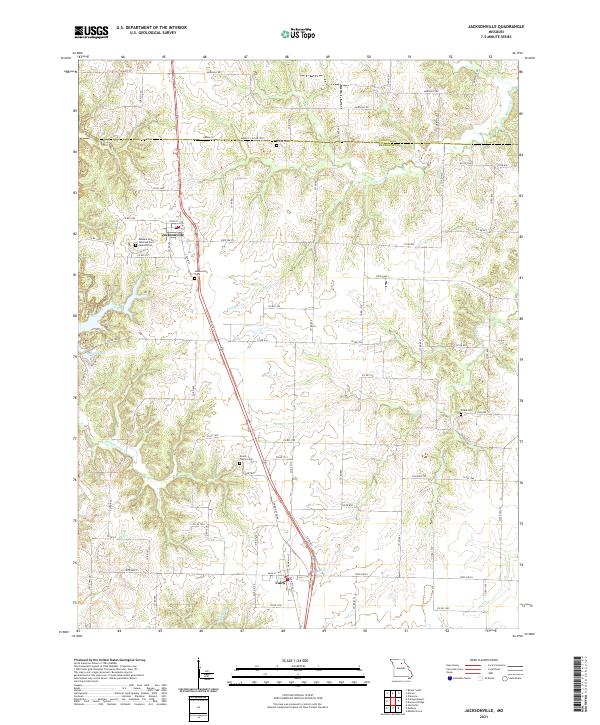 2021 Jacksonville2021 Print · USGSThe rural landscapes of Randolph and Macon counties are captured here in the early 2020s, centered on the villages of Jacksonville and Cairo. Family historians can locate several local burial sites including Colter Cem, Union Cem, and the Missouri State Veterans Cem - Jacksonville.
End of results
Showing maps 1-12 of 12
Top cities near Jacksonville
- Moberly historical maps
- Macon historical maps
- Huntsville historical maps
- Clarence historical maps
- Bevier historical maps
- Cairo historical maps
See more
Frequently asked questions
- What are the different types of historical maps available for Jacksonville?
- What is the oldest map of Jacksonville?
- Where can I purchase historical maps of Jacksonville for my home or office?
- Where can I download high-res historical maps of Jacksonville?
- Are there historical topographic maps available for Jacksonville?
- Is there historical aerial imagery available for Jacksonville?
- Where are historical maps of Jacksonville sourced from?