2020s Maps of Moberly, Missouri
Explore 2 historic maps of Moberly from the 2020s. These maps offer a rare glimpse into what life looked like during the 2020s — showing old roads, neighborhoods, homes, and landmarks that have changed or disappeared over time.
Whether you're researching your family's past, planning a metal detecting trip, or studying how Moberly's landscape evolved across the 2020s, these high-resolution maps are a powerful tool for exploring the history of this region.
- Focus on a specific era: All maps on this page are from the 2020s, giving you a focused view of this time period.
- See what’s changed: Compare century-old streets, trails, and buildings to today's modern landscape using overlays and satellite layers.
- Research with precision: Use these maps for genealogy, historical research, land use analysis, or educational projects.
- View, download, or print: Maps are fully viewable online in high resolution, and can be downloaded or printed for your own records.
Start exploring Moberly's history through authentic maps from the 2020s. This is your window into the past.
Moberly, MO maps
(2)- 2021 Map of Renick, 2021 Print
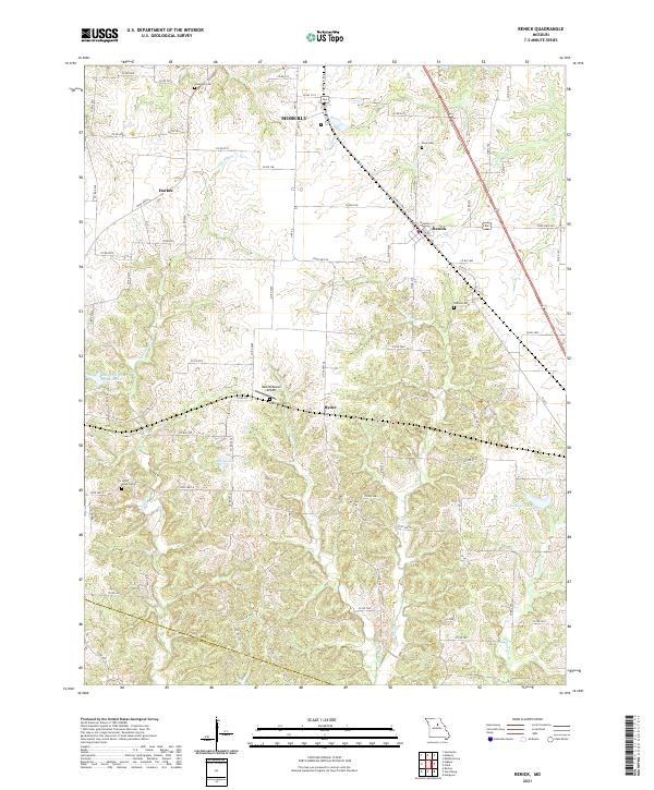 2021 Renick2021 Print · USGSThe Randolph and Howard County line comes alive in this 2020s study of the Missouri countryside between Moberly and Renick. Genealogists and researchers can pinpoint ancestral sites at Anderson Cem, Sandy Hook Cem, and the Hess-McKeown Airport.
 - 2021 Map of Moberly, 2021 Print
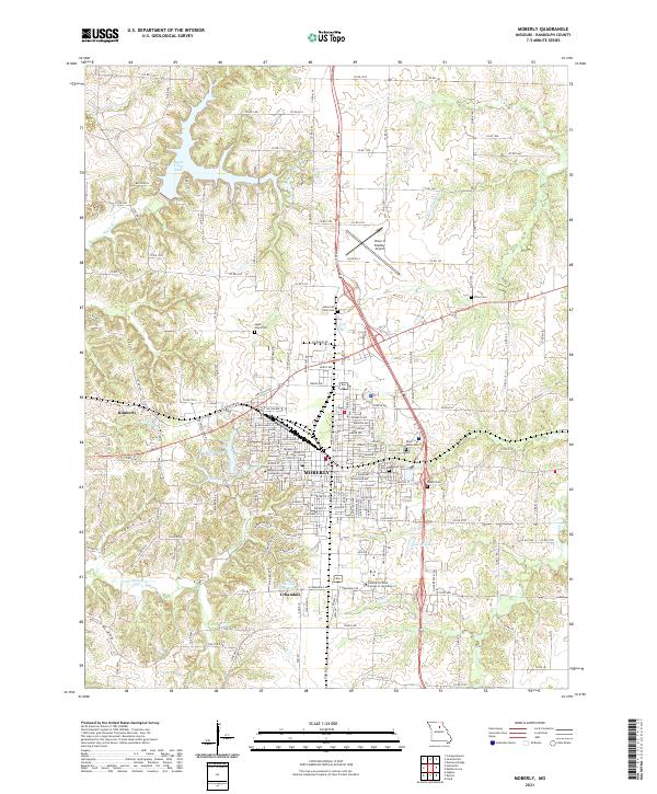 2021 Moberly2021 Print · USGSMoberly and its surrounding Randolph County landscape are shown in this contemporary study of central Missouri’s transit and educational hubs. Researchers can locate several burial sites like Oakland Cem and Deskin Cem or trace the development around Sugar Creek Lake.
End of results
Showing maps 1-2 of 2
Top cities near Moberly
- Huntsville historical maps
- Sturgeon historical maps
- Higbee historical maps
- Madison historical maps
- Cairo historical maps
- Clark historical maps
See more
Frequently asked questions
- What are the different types of historical maps available for Moberly?
- What is the oldest map of Moberly?
- Where can I purchase historical maps of Moberly for my home or office?
- Where can I download high-res historical maps of Moberly?
- Are there historical topographic maps available for Moberly?
- Is there historical aerial imagery available for Moberly?
- Where are historical maps of Moberly sourced from?