Old Maps of Oates, Missouri for Metal Detecting
Plan your next treasure hunt with 18 historic maps of Oates. Find old homesites, ghost towns, trails, and gathering spots that may be lost to time — perfect for identifying promising metal detecting locations.
- Locate forgotten sites: Uncover places like long-lost settlements, abandoned rail lines, or gathering spots.
- Plan better hunts: Use map overlays combined with LiDAR or satellite views to narrow in on historically rich areas.
- Made for detectorists: Thousands of hobbyists use these maps to discover relics, coins, and hidden history.
Use these historic maps to boost your research and find new opportunities beneath the surface of Oates.
Oates, MO maps
(18)- 1943 Map of Boss, 1963 Print
 1943 Boss1963 Print · USGSThe Ozark highlands of the early 1940s are revealed here through a network of small family settlements and mountain schools. Genealogists can trace family footprints at Old Mill Lodge, Moses Store, or rural burial sites like Abbott Cem.2 unique versions available
 - 1946 Map of Boss
 1946 Boss1946 Print · USGSThe Missouri Ozarks are captured here just after the war, showing the deep hollows and timberlands of the eastern Courtois Hills. Genealogists and researchers can locate family landmarks like Moses Store, the Webb Cem, and numerous rural schoolhouses such as Barton Sch.2 unique versions available
 - 1949 Map of Rolla, 1950 Print
 1949 Rolla1950 Print · USGSThe Missouri Ozarks are captured here just after the war, showing a landscape of deep river valleys and emerging reservoir projects. Genealogists and historians can trace the mining towns of Bonne Terre and Potosi or follow the early route of U.S. Highway 66.
 - 1953 Map of Rolla
 1953 Rolla1953 Print · USGSSoutheast Missouri’s mining towns and timberlands are seen here at the start of the 1950s. Genealogists and historians can trace the rail-and-river economy through local hubs like Fredericktown and the lead-mining heritage of Potosi and Desloge.
 - 1954 Map of Rolla, 1970 Print
 1954 Rolla1970 Print · USGSThe Missouri Ozarks and the historic Lead Belt are captured in the late sixties, showing a landscape of deep river hollows and industrial mines. Researchers can trace the routes of the Missouri Pacific RR to extraction sites like the Iron Mountain Mine or Pea Ridge Mine.2 unique versions available
 - 1958 Map of Rolla
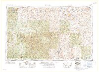 1958 Rolla1958 Print · USGSThe Missouri Ozarks and the lead-rich hills of the southeast are captured here in the late fifties as timber and mining shaped the local economy. Researchers can locate family landmarks like the Rolla Cemetery or trace old rail lines including the Missouri-Illinois RR and St Louis-San Francisco RR.
 - 1959 Map of Rolla
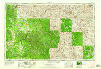 1959 Rolla1959 Print · USGSMid-century Missouri is defined here by the deep forests of the Ozarks and the industrial peaks of the St Francois Mountains. Genealogists and historians can trace the development of towns like Potosi and Fredericktown or locate rural landmarks like Dry Fork Church and the Phelps County Courthouse.
 - 1960 Map of Rolla
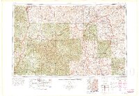 1960 Rolla1960 Print · USGSThe Ozark Highlands in the mid-twentieth century reveal a landscape of deep timber and heavy industry. Researchers can trace the rail-and-mine economy through the St Louis-San Francisco RR and the Iron Mountain Mine, alongside the growth of Fort Leonard Wood.
 - 1966 Map of Rolla
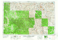 1966 Rolla1966 Print · USGSThe Missouri Ozarks are revealed here in the mid-1960s, showing the intersection of heavy industry and sprawling national forests. Trace the development of the Lead Belt near Flat River or locate family roots in vanished hamlets like Enough and Howes Mill.
 - 1967 Map of Oates, 1968 Print
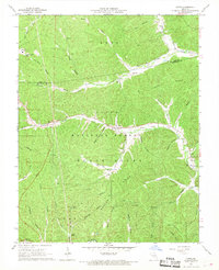 1967 Oates1968 Print · USGSThe northern Ozarks come into focus in the mid-1960s, showing a remote landscape of mining and forestry. Researchers can locate numerous family burial grounds like Trolinger Cem and Smith Cem or trace industry at the Buick Mine.2 unique versions available
 - 1971 Map of Rolla
 1971 Rolla1971 Print · USGSThe Missouri Ozarks are captured here during the early seventies, showing a landscape of deep river valleys and industrial mining towns. Researchers can trace historic lead mining operations at St Joseph Mines and locate rural landmarks like Viburnum and the Galveston Trail.
 - 1986 Map of Rolla
 1986 Rolla1986 Print · USGSThe Missouri Ozarks are captured here in the mid-1980s, showcasing the intersection of deep forest wilderness and growing highway corridors. Genealogists and local historians can trace family roots through rural landmarks like Salem Memorial Cemetery or the rail-stop history of Cook Station and Steelville.2 unique versions available
 - 1989 Map of Rolla
 1989 Rolla1989 Print · USGSThe Missouri Ozarks are captured in the late eighties as a landscape of national forests and historic mining towns. Researchers can trace the rail lines of the Missouri Pacific RR or locate landmarks like Taum Sauk Mtn and Elephant Rocks State Park.
 - 1999 Map of Oates, 2002 Print
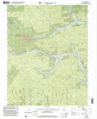 1999 Oates2002 Print · USGSReynolds and Iron counties were still heavily forested and punctuated by small mining operations at the end of the century. Genealogists and local historians can trace family roots through numerous burial sites like Smith Cem and Myers Cem, or locate landmarks like Buck Mine and the Happy Home Ch.
 - 2011 Map of Oates, 2011 Print
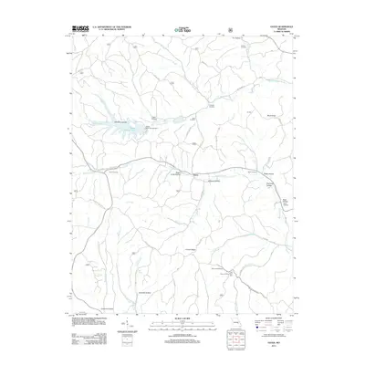 2011 Oates2011 Print · USGSThe rural hills of Reynolds County are seen here in the early 21st century, centered on the settlement of Oates. Researchers can trace old family burial grounds like Trolinger Cemetery and Webb Cemetery or the industrial scale of the Amax Tailing Pond.
 - 2015 Map of Oates, 2015 Print
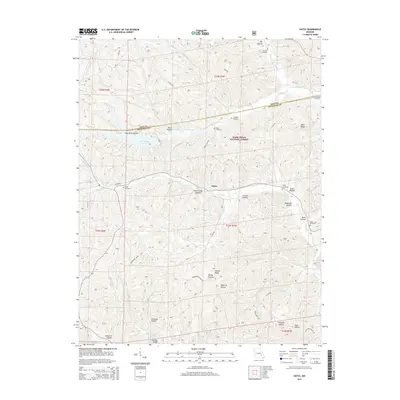 2015 Oates2015 Print · USGSNear the Iron and Reynolds County line during the mid-2010s, this area of the Ozarks shows a landscape of deep hollows and national forest timber. Researchers can locate numerous family burial sites such as Asher Cemetery and Smith Cemetery along the winding Karkaghne Scenic Dr.
 - 2017 Map of Oates, 2017 Print
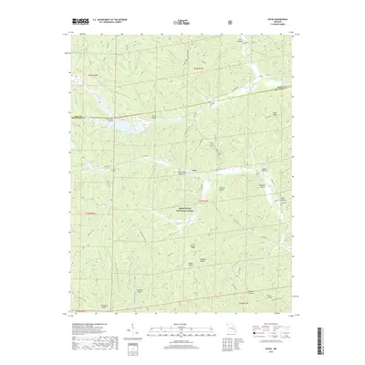 2017 Oates2017 Print · USGSThe settlement of Oates and the surrounding Ozark ridges appear here in the early twenty-first century. Genealogists can locate several remote family burial sites like Trolinger Cem and Webb Cem along old routes like the Karkagne Scenic Dr.
 - 2021 Map of Oates, 2021 Print
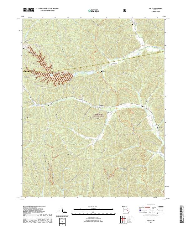 2021 Oates2021 Print · USGSThe community of Oates and the deep hollows of the Ozarks are detailed here during the early twenty-first century. Genealogists can locate several family burial grounds, including Trolinger Cem and Webb Cem, while outdoorsmen can trace Karkagne Drive.
End of results
Showing maps 1-18 of 18
Top cities near Oates
Frequently asked questions
- What are the different types of historical maps available for Oates?
- What is the oldest map of Oates?
- Where can I purchase historical maps of Oates for my home or office?
- Where can I download high-res historical maps of Oates?
- Are there historical topographic maps available for Oates?
- Is there historical aerial imagery available for Oates?
- Where are historical maps of Oates sourced from?