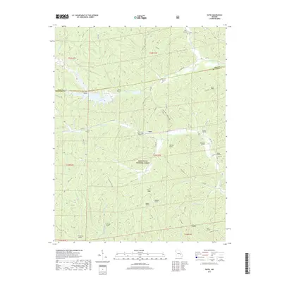
2017 Map of Oates
USGS Topo · Published 2017About this map
Oates sits at the heart of this Missouri Ozarks landscape, where the ridges and hollows of the Mark Twain National Forest define the settlement patterns. Numerous family cemeteries are scattered throughout the hills, including Stricklin Cem, Asher Cem, and Myers Cem, often located near legacy roads like Buick Rd and State Hwy J. The terrain is characterized by a dense network of watercourses and deep hollows such as Sugar Camp Hollow and Johnson Hollow. Modern recreational and industrial footprints are visible in the presence of the Ozark Trail Middle Fork and the Amax Tailing Pond, reflecting the region's dual history of resource extraction and conservation. The topography transitions from the heights of Ironton Ridge down to the basins of Strother Creek and Brushy Cr, showcasing the intricate drainage systems that feed into Mill Spring.
Find a feature on this map
68 named features on this map. Tap any name to fly to it.
Don’t see what you’re looking for? This feature index may not catch every label — zoom into the map to look around manually.
Map Details
Editions of this 2017 Oates Map
This is the sole edition of this map. No revisions or reprints were ever made.
Other maps of this area
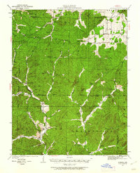
1924 · Edgehill
USGS Topo · 1:62,500
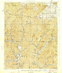
1926 · Edgehill
USGS Topo · 1:62,500
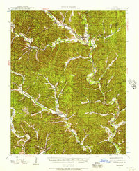
1943 · Lesterville
USGS Topo · 1:62,500
1943 · Boss
USGS Topo · 1:62,500
1944 · Corridon
USGS Topo · 1:62,500
1946 · Lesterville
USGS Topo · 1:62,500
1946 · Boss
USGS Topo · 1:62,500
1947 · Corridon
USGS Topo · 1:62,500

1949 · Rolla
USGS Topo · 1:250,000
1953 · Rolla
USGS Topo · 1:250,000