Old Maps of Reynolds County, Missouri
Explore 64 old maps of Reynolds County, spanning from 1924 to today. These high-resolution historic maps reveal how streets, neighborhoods, landmarks, and natural features evolved over time — perfect for genealogy, metal detecting, research, and local history exploration.
What you can do with these maps:
- See how Reynolds County changed over time: Compare historical maps to modern-day views to trace roads, homesites, rail lines & more.
- View detailed metadata: Each map includes creators, publishers, year, scale, and archive source.
- Overlay maps with satellite & LiDAR: Visualize the past alongside modern tools to explore terrain & human change.
- Trusted historical sources: Maps sourced from the USGS, Library of Congress, and other archives.
- Access maps your way: View online, download high-res files, or order prints for personal or research use.
Start exploring old maps of Reynolds County to uncover forgotten places, hidden landmarks, and the deep history beneath your feet.
Reynolds County, MO maps
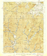
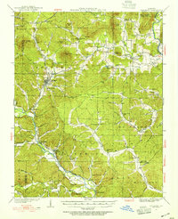
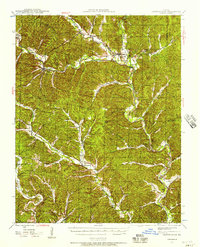
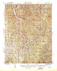
(64)- 1924 Map of Edgehill, 1962 Print
 1924 Edgehill1962 Print · USGSCovers Reynolds County, including Maxwells Mill, Banner, and other nearby areas
 - 1926 Map of Edgehill
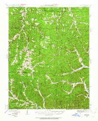
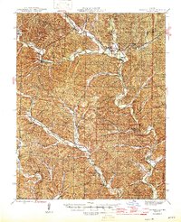
 1926 Edgehill1926 Print · USGSCovers Reynolds County, including Maxwells Mill, Banner, and other nearby areas3 unique versions available
 - 1926 Map of Des Arc, 1960 Print
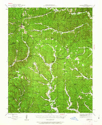
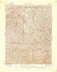
 1926 Des Arc1960 Print · USGSCovers Reynolds County, including Annapolis, Des Arc, and other nearby areas2 unique versions available
 - 1928 Map of Cardareva
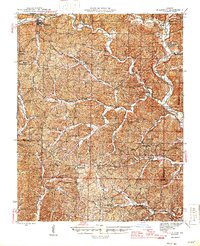
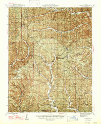
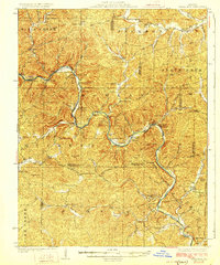 1928 Cardareva1928 Print · USGSCovers Reynolds County, including Van Buren, Gang, and other nearby areas2 unique versions available
 - 1929 Map of Des Arc
 1929 Des Arc1929 Print · USGSCovers Reynolds County, including Annapolis, Des Arc, and other nearby areas3 unique versions available
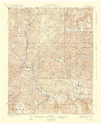
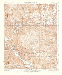
 - 1932 Map of Piedmont, 1955 Print
 1932 Piedmont1955 Print · USGSCovers Reynolds County, including Piedmont, Mill Spring, and other nearby areas2 unique versions available
 - 1935 Map of Piedmont
 1935 Piedmont1935 Print · USGSCovers Reynolds County, including Piedmont, Mill Spring, and other nearby areas2 unique versions available
 - 1941 Map of Stone Hill, 1958 Print
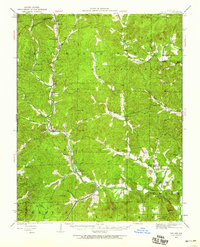
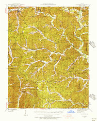
 1941 Stone Hill1958 Print · USGSCovers Reynolds County, including Max, Short Bend, and other nearby areas3 unique versions available
 - 1943 Map of Ellington, 1956 Print
 1943 Ellington1956 Print · USGSCovers Reynolds County, including Ellington, Keeney Corner, and other nearby areas
 - 1943 Map of Lesterville, 1957 Print
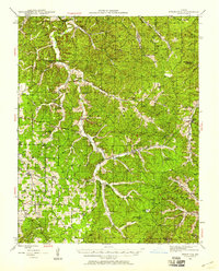
 1943 Lesterville1957 Print · USGSCovers Reynolds County, including Ellington, Centerville, and other nearby areas2 unique versions available
 - 1943 Map of Boss, 1963 Print
 1943 Boss1963 Print · USGSCovers Reynolds County, including Viburnum, Red Point, and other nearby areas2 unique versions available
 - 1944 Map of Corridon, 1963 Print
 1944 Corridon1963 Print · USGSCovers Reynolds County, including Bedwell, Fruit City, and other nearby areas2 unique versions available
 - 1945 Map of Ellington
 1945 Ellington1945 Print · USGSCovers Reynolds County, including Ellington, Keeney Corner, and other nearby areas2 unique versions available
 - 1945 Map of Stone Hill
 1945 Stone Hill1945 Print · USGSCovers Reynolds County, including Max, Short Bend, and other nearby areas2 unique versions available
 - 1946 Map of Lesterville
 1946 Lesterville1946 Print · USGSCovers Reynolds County, including Ellington, Centerville, and other nearby areas2 unique versions available
 - 1946 Map of Boss
 1946 Boss1946 Print · USGSCovers Reynolds County, including Viburnum, Red Point, and other nearby areas2 unique versions available
 - 1947 Map of Corridon
 1947 Corridon1947 Print · USGSCovers Reynolds County, including Bedwell, Fruit City, and other nearby areas
 - 1949 Map of Rolla, 1950 Print
 1949 Rolla1950 Print · USGSCovers Reynolds County, including Rolla, Farmington, and other nearby areas
 - 1949 Map of Cardareva, 1957 Print
 1949 Cardareva1957 Print · USGSCovers Reynolds County, including Van Buren, Gang, and other nearby areas
 - 1953 Map of Rolla
 1953 Rolla1953 Print · USGSCovers Reynolds County, including Rolla, Farmington, and other nearby areas
 - 1954 Map of Rolla, 1970 Print
 1954 Rolla1970 Print · USGSCovers Reynolds County, including Rolla, Farmington, and other nearby areas2 unique versions available
 - 1958 Map of Rolla
 1958 Rolla1958 Print · USGSCovers Reynolds County, including Rolla, Farmington, and other nearby areas
 - 1959 Map of Rolla
 1959 Rolla1959 Print · USGSCovers Reynolds County, including Rolla, Farmington, and other nearby areas
 - 1960 Map of Rolla
 1960 Rolla1960 Print · USGSCovers Reynolds County, including Rolla, Farmington, and other nearby areas
 - 1965 Map of Powder Mill Ferry, 1966 Print
 1965 Powder Mill Ferry1966 Print · USGSCovers Reynolds County, including Gang, Owls Bend, and other nearby areas4 unique versions available
Showing maps 1-25 of 64
Top cities of Reynolds County
Frequently asked questions
- What are the different types of historical maps available for Reynolds County?
- What is the oldest map of Reynolds County?
- Where can I purchase historical maps of Reynolds County for my home or office?
- Where can I download high-res historical maps of Reynolds County?
- Are there historical topographic maps available for Reynolds County?
- Is there historical aerial imagery available for Reynolds County?
- Where are historical maps of Reynolds County sourced from?