2000s (21st Century) Maps of New Melle, Missouri
Explore 9 historic maps of New Melle from the 2000s (21st Century). These maps offer a rare glimpse into what life looked like during the 2000s — showing old roads, neighborhoods, homes, and landmarks that have changed or disappeared over time.
Whether you're researching your family's past, planning a metal detecting trip, or studying how New Melle's landscape evolved across the 2000s, these high-resolution maps are a powerful tool for exploring the history of this region.
- Focus on a specific era: All maps on this page are from the 2000s, giving you a focused view of this time period.
- See what’s changed: Compare century-old streets, trails, and buildings to today's modern landscape using overlays and satellite layers.
- Research with precision: Use these maps for genealogy, historical research, land use analysis, or educational projects.
- View, download, or print: Maps are fully viewable online in high resolution, and can be downloaded or printed for your own records.
Start exploring New Melle's history through authentic maps from the 2000s. This is your window into the past.
New Melle, MO maps
(9)- 2000 Map of Defiance, 2003 Print
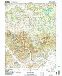 2000 Defiance2003 Print · USGSSouthern St. Charles County at the turn of the millennium shows a landscape defined by the Missouri River floodplain and significant state conservation lands. Genealogists and local historians can locate Journey Cem, the village of Schluersburg, and the rural road network including Matson Hill Road.
 - 2012 Map of New Melle, 2012 Print
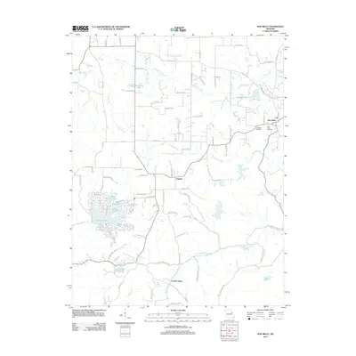 2012 New Melle2012 Print · USGSCovers New Melle, including Cappeln, Femme Osage, and other nearby areas
 - 2012 Map of Defiance, 2012 Print
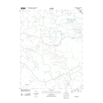 2012 Defiance2012 Print · USGSCovers New Melle, including O'Fallon, Defiance, and other nearby areas
 - 2015 Map of New Melle, 2015 Print
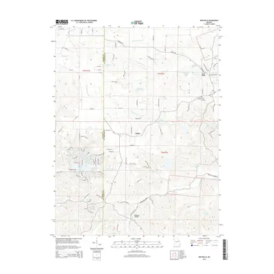 2015 New Melle2015 Print · USGSCovers New Melle, including Cappeln, Femme Osage, and other nearby areas
 - 2015 Map of Defiance, 2015 Print
 2015 Defiance2015 Print · USGSCovers New Melle, including O'Fallon, Defiance, and other nearby areas
 - 2017 Map of New Melle, 2017 Print
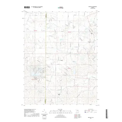 2017 New Melle2017 Print · USGSCovers New Melle, including Cappeln, Femme Osage, and other nearby areas
 - 2017 Map of Defiance, 2017 Print
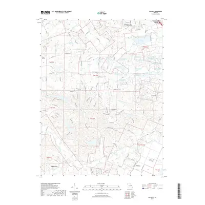 2017 Defiance2017 Print · USGSCovers New Melle, including O'Fallon, Defiance, and other nearby areas
 - 2021 Map of New Melle, 2021 Print
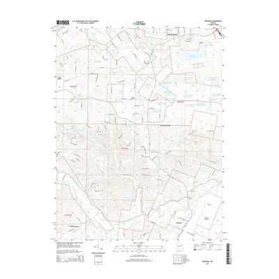
 2021 New Melle2021 Print · USGSThe rural border of St. Charles and Warren counties is captured here in the early twenty-first century, showing a landscape of small settlements and reservoir systems. Researchers can trace local history at Friedens Cem or follow the waters of Femme Osage Creek through Cappeln and Femme Osage.
 - 2021 Map of Defiance, 2021 Print
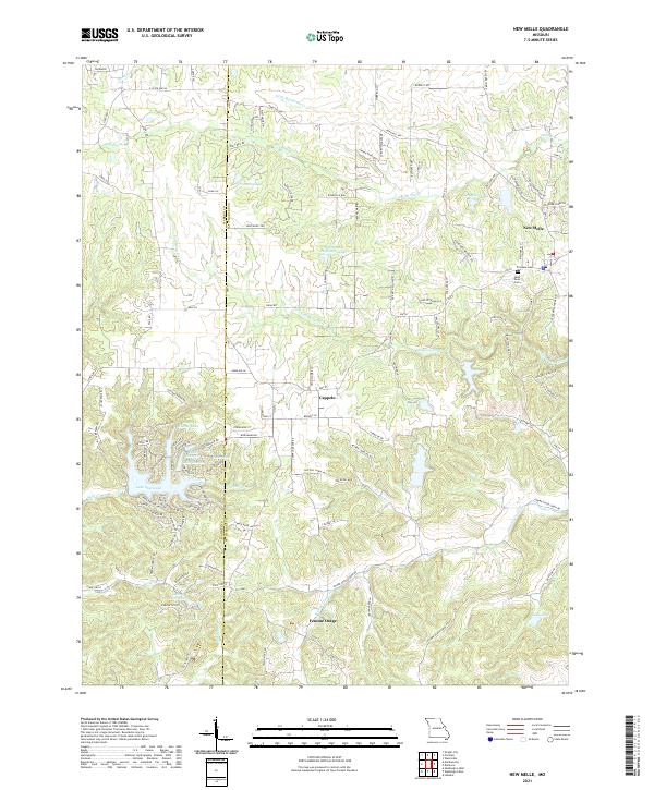
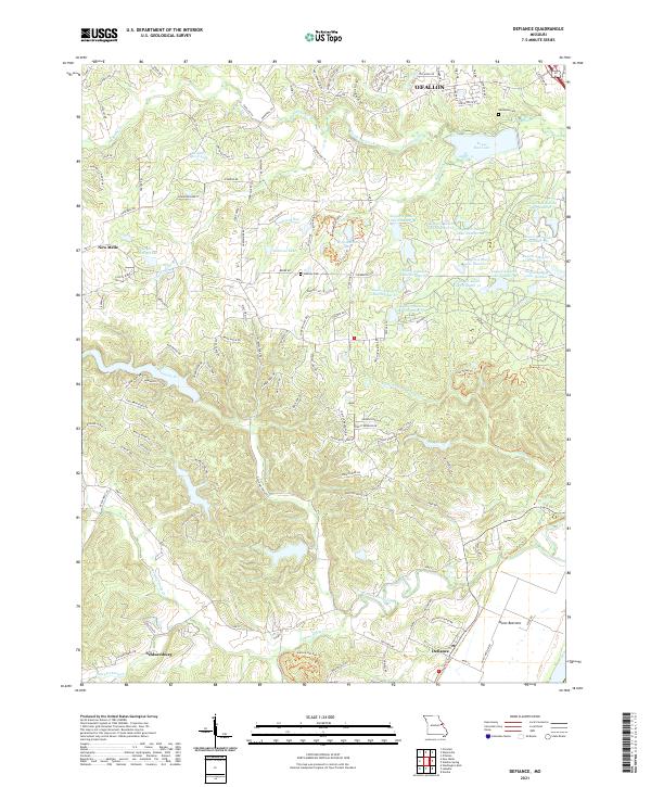 2021 Defiance2021 Print · USGSDefiance and the Missouri River bottoms appear in the early twenty-first century as a mix of conservation lands and growing rural settlements. Researchers can trace historic cemeteries like Dardenne Cem and family-named landmarks such as Clyde Mosley Lake and Schluersburg.
End of results
Showing maps 1-9 of 9
Top cities near New Melle
- O'Fallon historical maps
- Saint Peters historical maps
- Chesterfield historical maps
- Wentzville historical maps
- Wildwood historical maps
- Washington historical maps
See more
Frequently asked questions
- What are the different types of historical maps available for New Melle?
- What is the oldest map of New Melle?
- Where can I purchase historical maps of New Melle for my home or office?
- Where can I download high-res historical maps of New Melle?
- Are there historical topographic maps available for New Melle?
- Is there historical aerial imagery available for New Melle?
- Where are historical maps of New Melle sourced from?