Old Maps of West Alton, Missouri for Genealogy
Trace your family roots with 52 historic maps of West Alton. These high-res maps reveal old neighborhoods, homesites, landmarks, and streets — helping you uncover where your ancestors lived and how the area evolved over time.
- Explore historic neighborhoods: Identify where your relatives may have lived in the 1800s or 1900s.
- Compare maps over time: Trace the changes in streets, buildings, and landmarks for multi-generational research.
- Perfect for genealogy & ancestry research: Used by family historians and researchers to map out lineage and migration.
These maps are an incredible resource for exploring your personal connection to West Alton's past.
West Alton, MO maps
(52)- 1927 Map of Alton
 1927 Alton1927 Print · USGSThe industrial and riverfront corridor of the Mississippi and Missouri confluence is captured here during a period of heavy rail and ferry traffic. Researchers can trace historic family locations through dozens of rural landmarks like Monticello Seminary, Greenwood Cem, and the City of St Louis Farms.
 - 1927 Map of St. Charles, 1955 Print
 1927 St. Charles1955 Print · USGSThe Missouri and Mississippi rivers meet in this mid-century survey, showcasing a landscape of fertile bottomlands and early aviation hubs. Genealogists can trace family footprints through dozens of rural landmarks like St Stanislaus Seminary, Orchard Farm, and Cul de Sac Sch.2 unique versions available
 - 1933 Map of Saint Charles
 1933 Saint Charles1933 Print · USGSThe confluence of the Missouri and Mississippi rivers in the early thirties reveals a landscape of fertile river bottoms and emerging suburban rail towns. Genealogists and researchers can trace old school districts like Cul de Sac Sch and historic sites such as St Stanislaus Seminary.3 unique versions available
 - 1934 Map of Alton
 1934 Alton1934 Print · USGSThe confluence of the Mississippi and Missouri rivers in the early 1930s shows a dense industrial and rail corridor centered on Alton. Genealogists and researchers can trace dozens of rural schools and landmarks like Monticello Seminary, Mt Olive Church, and the City of St Louis Farms.2 unique versions available
 - 1935 Map of Florissant
 1935 Florissant1935 Print · USGSSt. Louis County is captured during the mid-1930s as rural landscapes begin to integrate with early aviation and highway networks. Genealogists can trace family names at St Stanislaus Seminary, Halls Ferry, or the early Lambert St Louis Landing Field.
 - 1935 Map of Columbia Bottom
 1935 Columbia Bottom1935 Print · USGSSt. Louis County and the river confluence are captured here in the mid-1930s, showing a landscape of municipal farms and rural school districts. Genealogists can trace local roots through landmarks like Ruegg PO, Larimore, and the Vossenkemper School.
 - 1948 Map of Alton, 1954 Print
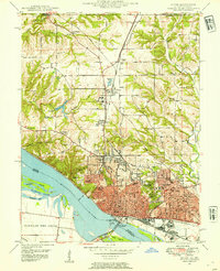 1948 Alton1954 Print · USGSAlton and the Mississippi River bluffs are captured here in the late Forties, showing a region defined by its heavy rail industry and prominent educational institutions. Genealogists and historians can locate Shurtleff College, the Confederate Cem, and the tracks of the Chicago and Alton railroad.
 - 1948 Map of Wood River, 1955 Print
 1948 Wood River1955 Print · USGSMadison County industrial hubs and river lowlands are captured here in the late 1940s as the regional energy sector expanded. Genealogists and historians can trace the foundations of Wood River refineries alongside local landmarks like St Paul Ch and the North Coal Mine.
 - 1949 Map of Saint Louis
 1949 Saint Louis1949 Print · USGSGreater St. Louis and its surrounding river valleys are captured here just after the war, showing the metropolitan core and the rural Ozark fringe. Researchers can trace the sprawling rail network of the Wabash RR or locate landmarks like Meramec Caverns Airport and Scott Air Force Base.2 unique versions available
 - 1950 Map of Alton
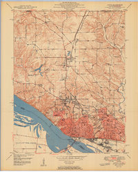 1950 Alton1950 Print · USGSAlton was a bustling river and rail hub at the mid-century, defined by its educational institutions and heavy river infrastructure. Trace the old campus of Western Military Academy, the riverfront at Lock and Dam No 26, and cemeteries like Confederate Cem.2 unique versions available
 - 1951 Map of Wood River
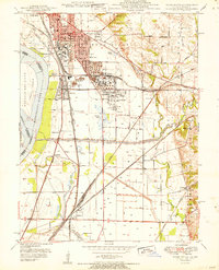 1951 Wood River1951 Print · USGSThe industrial heart of Madison County comes into focus in the early 1950s, showing the massive refining operations and rail hubs along the Mississippi. Researchers can trace local history through the Oil Refinery sites, Bohm Sch, and Sunset Hill Cem.
 - 1951 Map of Columbia Bottom, 1952 Print
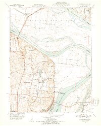 1951 Columbia Bottom1952 Print · USGSThe northern reaches of St. Louis and the river confluence are captured here in the early fifties, before modern flood control reshaped the bottoms. Researchers can trace the grounds of the St Louis State Training School, find the Immaculate Conception Cem, and follow the old St Louis Waterworks RR.8 unique versions available
 - 1954 Map of Elsah, 1959 Print
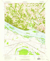 1954 Elsah1959 Print · USGSThe river bluffs of Jersey and Madison counties are captured here in the mid-fifties as river life and rail commerce intersected. Researchers can trace the grounds of Principia College, the streets of Portage Des Sioux, and defunct rural sites like Mertz Sch.3 unique versions available
 - 1954 Map of Florissant, 1959 Print
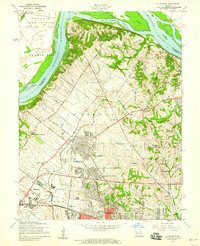 1954 Florissant1959 Print · USGSNorth St. Louis County is captured here in the mid-1950s, showing the rapid expansion of FLORISSANT and BERKELEY as they began to surround the Lambert-St Louis Airport. Researchers can find historic cemeteries like Coldwater Cem and Salem Cem alongside now-developed areas like Shoveltown.5 unique versions available
 - 1954 Map of Alton, 1959 Print
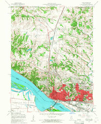 1954 Alton1959 Print · USGSMid-century Alton and Godfrey thrive as centers of education and industry along the Mississippi. Researchers can trace the grounds of Monticello College, locate the Confederate Cem, and follow the Gulf Mobile and Ohio rail lines.4 unique versions available
 - 1954 Map of St. Charles, 1960 Print
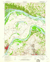 1954 St. Charles1960 Print · USGSThe river confluence near St. Louis during the mid-fifties reveals a landscape balancing traditional river life with rapid suburban and aviation growth. Genealogists and historians can trace family roots through sites like St Stanislaus Seminary Cem, Portage Des Sioux, and the campus of Principia College.2 unique versions available
 - 1955 Map of Wood River, 1959 Print
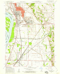 1955 Wood River1959 Print · USGSMid-century Madison County thrives at the junction of heavy industry and historic bottomlands as the postwar rail network expands. Researchers can trace family roots through the Wanda Cem or locate the Indian Mounds and the Sunset Speedway.4 unique versions available
 - 1955 Map of Alton, 1960 Print
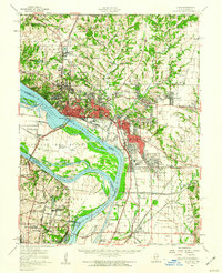 1955 Alton1960 Print · USGSThe industrial riverfronts and expanding rail corridors of the Metro East are captured here in the mid-fifties. Researchers can trace the development of Alton State Hospital, the grounds of Monticello College, and historic sites like Fort Bellefontaine.2 unique versions available
 - 1962 Map of St. Louis
 1962 St. Louis1962 Print · USGSThe mid-century gateway to the west shows the metropolitan expansion of St Louis alongside its critical river confluences. Genealogists and historians can trace the rail corridors of the Missouri Pacific RR and settlements from Fulton to De Soto.
 - 1963 Map of St. Louis, 1970 Print
 1963 St. Louis1970 Print · USGSSt. Louis and its surrounding river valleys are captured here during the peak of mid-century suburban expansion and industrial activity. Trace the historic rail routes of the Norfolk and Western Ry or locate the St Louis Ordnance Plant and early stretches of US Highway 66.4 unique versions available
 - 1966 Map of St. Louis
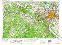 1966 St. Louis1966 Print · USGSThe St. Louis metropolitan area and its surrounding river valleys are captured here during the mid-sixties era of suburban growth and industrial strength. Genealogists and historians can trace the foundations of local communities through sites like Old Pioneer Cem, Parks College, and the Jefferson Barracks Military Reservation.
 - 1985 Map of St Louis
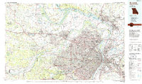 1985 St Louis1985 Print · USGSThe St. Louis metropolitan area and its river confluences are captured here during a period of significant suburban expansion in the 1980s. Genealogists and historians can trace the development of older neighborhoods and landmarks like Jefferson Barracks, Cahokia Mounds State Park, and Washington University.3 unique versions available
 - 1991 Map of Elsah, 1995 Print
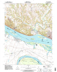 1991 Elsah1995 Print · USGSThe Mississippi and Missouri rivers meet here in the early nineties, revealing a landscape of protective levees and riverfront villages. Genealogists can locate family names at St Francis Cem and Elsah Cem or trace the early river footprints of Portage Des Sioux and Machens.
 - 1994 Map of Florissant
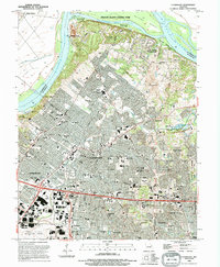 1994 Florissant1994 Print · USGSNorth St. Louis County is captured here in the early 1990s as suburban development meets the Missouri River bottomlands. Genealogists can trace family roots through several local landmarks like Coldwater Cemetery, St Ferdinand Cemetery, and Salem School.
 - 1994 Map of Alton
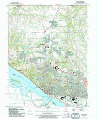 1994 Alton1994 Print · USGSThe Mississippi riverfront near Alton and Godfrey comes into focus during the 1990s as a hub of commerce and education. Trace local history at the Confederate Cem, Ursuline Convent, or the Alton Lock and Dam No 26.
Showing maps 1-25 of 52
Top cities near West Alton
- Florissant historical maps
- University City historical maps
- Maryland Heights historical maps
- Granite City historical maps
- Edwardsville historical maps
- Alton historical maps
See more
Frequently asked questions
- What are the different types of historical maps available for West Alton?
- What is the oldest map of West Alton?
- Where can I purchase historical maps of West Alton for my home or office?
- Where can I download high-res historical maps of West Alton?
- Are there historical topographic maps available for West Alton?
- Is there historical aerial imagery available for West Alton?
- Where are historical maps of West Alton sourced from?