2000s (21st Century) Maps of Twin Oaks, Missouri
Explore 8 historic maps of Twin Oaks from the 2000s (21st Century). These maps offer a rare glimpse into what life looked like during the 2000s — showing old roads, neighborhoods, homes, and landmarks that have changed or disappeared over time.
Whether you're researching your family's past, planning a metal detecting trip, or studying how Twin Oaks's landscape evolved across the 2000s, these high-resolution maps are a powerful tool for exploring the history of this region.
- Focus on a specific era: All maps on this page are from the 2000s, giving you a focused view of this time period.
- See what’s changed: Compare century-old streets, trails, and buildings to today's modern landscape using overlays and satellite layers.
- Research with precision: Use these maps for genealogy, historical research, land use analysis, or educational projects.
- View, download, or print: Maps are fully viewable online in high resolution, and can be downloaded or printed for your own records.
Start exploring Twin Oaks's history through authentic maps from the 2000s. This is your window into the past.
Twin Oaks, MO maps
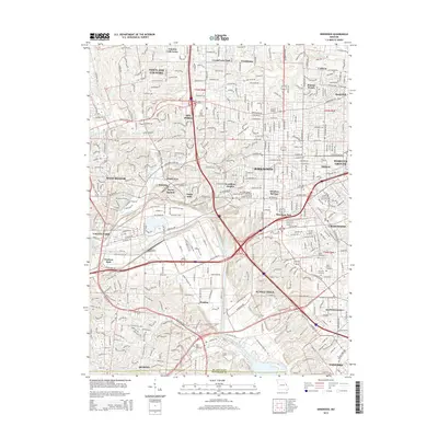
(8)- 2012 Map of Kirkwood, 2012 Print
 2012 Kirkwood2012 Print · USGSCovers Twin Oaks, including Kirkwood, Webster Groves, and other nearby areas
 - 2012 Map of Manchester, 2012 Print
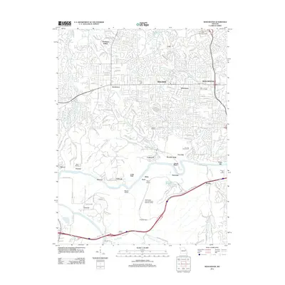 2012 Manchester2012 Print · USGSCovers Twin Oaks, including Chesterfield, Wildwood, and other nearby areas
 - 2015 Map of Kirkwood, 2015 Print
 2015 Kirkwood2015 Print · USGSCovers Twin Oaks, including Kirkwood, Webster Groves, and other nearby areas
 - 2015 Map of Manchester, 2015 Print
 2015 Manchester2015 Print · USGSCovers Twin Oaks, including Chesterfield, Wildwood, and other nearby areas
 - 2017 Map of Manchester, 2017 Print
 2017 Manchester2017 Print · USGSCovers Twin Oaks, including Chesterfield, Wildwood, and other nearby areas
 - 2017 Map of Kirkwood, 2017 Print
 2017 Kirkwood2017 Print · USGSCovers Twin Oaks, including Kirkwood, Webster Groves, and other nearby areas
 - 2021 Map of Manchester, 2021 Print
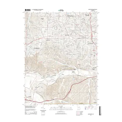
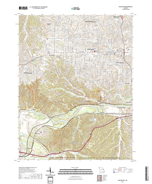 2021 Manchester2021 Print · USGSSt. Louis County's suburban expansion meets the winding Meramec River valley in the early 2020s. Genealogists and local historians can trace family markers at Saint Johns Lutheran Cem or follow the BNSF Railway through Sherman and Glencoe.
 - 2021 Map of Kirkwood, 2021 Print
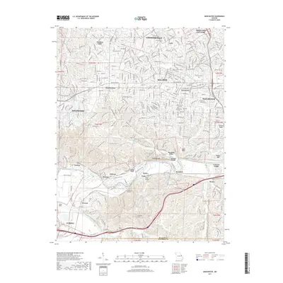
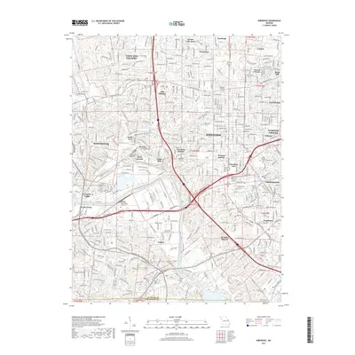
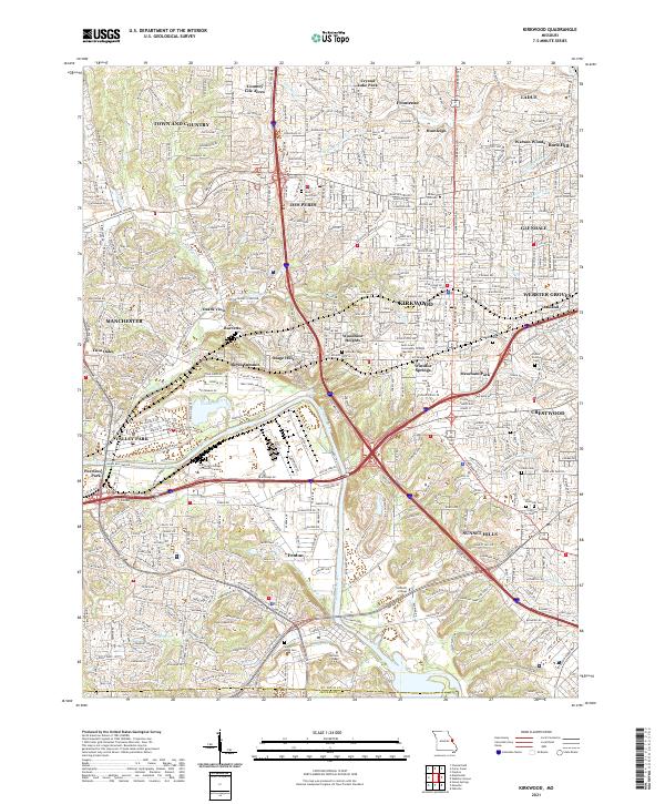 2021 Kirkwood2021 Print · USGSThe suburban landscape south of St. Louis is shown in the early 2020s, a period of dense residential and commercial development. Researchers can trace local heritage through numerous cemeteries like Oak Hill Cem and settlements such as Windsor Springs and Meacham Park.
End of results
Showing maps 1-8 of 8
Top cities near Twin Oaks
- O'Fallon historical maps
- Saint Charles historical maps
- Saint Peters historical maps
- Florissant historical maps
- Chesterfield historical maps
- Oakville historical maps
See more
Frequently asked questions
- What are the different types of historical maps available for Twin Oaks?
- What is the oldest map of Twin Oaks?
- Where can I purchase historical maps of Twin Oaks for my home or office?
- Where can I download high-res historical maps of Twin Oaks?
- Are there historical topographic maps available for Twin Oaks?
- Is there historical aerial imagery available for Twin Oaks?
- Where are historical maps of Twin Oaks sourced from?