2020s Maps of Marshall, Missouri
Explore 3 historic maps of Marshall from the 2020s. These maps offer a rare glimpse into what life looked like during the 2020s — showing old roads, neighborhoods, homes, and landmarks that have changed or disappeared over time.
Whether you're researching your family's past, planning a metal detecting trip, or studying how Marshall's landscape evolved across the 2020s, these high-resolution maps are a powerful tool for exploring the history of this region.
- Focus on a specific era: All maps on this page are from the 2020s, giving you a focused view of this time period.
- See what’s changed: Compare century-old streets, trails, and buildings to today's modern landscape using overlays and satellite layers.
- Research with precision: Use these maps for genealogy, historical research, land use analysis, or educational projects.
- View, download, or print: Maps are fully viewable online in high resolution, and can be downloaded or printed for your own records.
Start exploring Marshall's history through authentic maps from the 2020s. This is your window into the past.
Marshall, MO maps
(3)- 2021 Map of Marshall North, 2021 Print
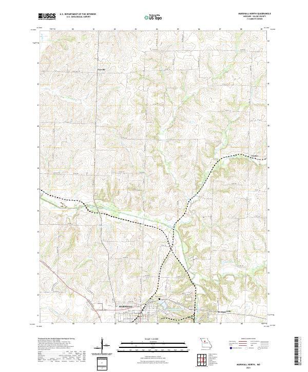 2021 Marshall North2021 Print · USGSSaline County's agricultural heartland is documented here in the early twenty-first century, centered on the northern expansion of Marshall. Genealogists and local historians can trace the rural communities of Fairville and Norton or locate family sites near Odell Cem and the historic Santa Fe Trl.
 - 2021 Map of Shackleford, 2021 Print
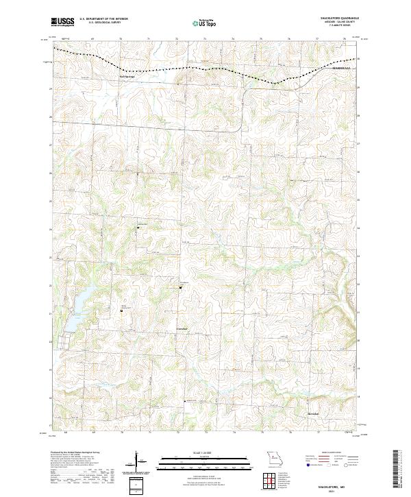 2021 Shackleford2021 Print · USGSSaline County remains a landscape of quiet rural settlements and family cemeteries in the early twenty-first century. Genealogists can locate specific burial sites like Antioch Cem and Providence Cem or trace the early paths of Salt Springs.
 - 2021 Map of Marshall South, 2021 Print
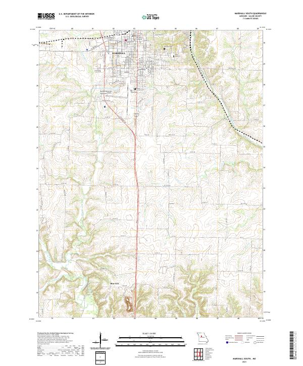 2021 Marshall South2021 Print · USGSSaline County’s seat and its surrounding farmstead reaches are meticulously documented during the early 2020s. Genealogists can trace family plots at Sunset Gardens Cem and Ridge Park Cem, or locate the historic grounds of Missouri Valley College.
End of results
Showing maps 1-3 of 3
Top cities near Marshall
- Slater historical maps
- Sweet Springs historical maps
- Wakenda historical maps
- Houstonia historical maps
- Malta Bend historical maps
- Gilliam historical maps
See more
Frequently asked questions
- What are the different types of historical maps available for Marshall?
- What is the oldest map of Marshall?
- Where can I purchase historical maps of Marshall for my home or office?
- Where can I download high-res historical maps of Marshall?
- Are there historical topographic maps available for Marshall?
- Is there historical aerial imagery available for Marshall?
- Where are historical maps of Marshall sourced from?