Old Maps of Schuyler County, Missouri for Hiking & Exploration
Hike through history with 75 historic maps of Schuyler County. Explore old trails, ghost towns, and forgotten backroads — perfect for outdoor adventurers and local explorers.
- Rediscover forgotten places: Map out old mining camps, roads, and footpaths that no longer exist on modern maps.
- Layer with modern tools: Combine with LiDAR or satellite views to plan hikes through historical terrain.
- Made for exploration: Popular among hikers, overlanders, and local history lovers.
Use these maps to find adventure and explore the hidden past of Schuyler County.
Schuyler County, MO maps
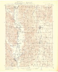
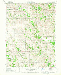
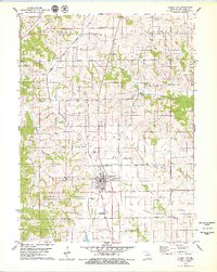
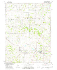
(75)- 1903 Map of Edina
 1903 Edina1903 Print · USGSNortheast Missouri at the turn of the century shows a bustling landscape of rail-fed market towns and river valley townships. Researchers can trace the path of the Santa Fe Railroad through Baring or locate early settlements like Pleasant Retreat and Bible Grove.2 unique versions available
 - 1911 Map of Queen City, 1971 Print
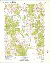
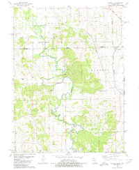
 1911 Queen City1971 Print · USGSSchuyler and Adair counties thrive as a rural railway crossroads during the early 1900s. Researchers can locate dozens of country schoolhouses like Patterson School and trace the paths of the Wabash RR through Queen City or the Iowa and St Louis RR near Connelsville.
 - 1913 Map of Queen City
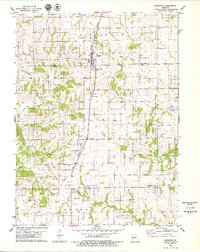
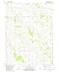
 1913 Queen City1913 Print · USGSSchuyler and Adair counties appear in this pre-war survey as a bustling network of small farming townships and rural school districts. Researchers can trace family roots through dozens of local sites like Queen City, New Hope School, and the river crossing at Slate Ford.2 unique versions available
 - 1954 Map of Centerville, 1967 Print
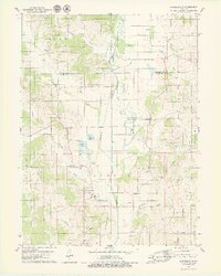
 1954 Centerville1967 Print · USGSThe Iowa-Missouri borderlands at mid-century reveal a landscape shaped by river valleys and the height of the regional rail network. Genealogists and historians can trace the paths of the Wabash railroad and locate old townsites like Mystic, Moulton, and Greentop.3 unique versions available
 - 1957 Map of Centerville
 1957 Centerville1957 Print · USGSThe Iowa-Missouri borderlands in the mid-fifties reveal a landscape of river-valley agriculture and vital rail corridors. Genealogists and historians can trace family-named landmarks and small-town growth in Centerville, Kirksville, and along the Wabash railroad line.
 - 1958 Map of Centerville
 1958 Centerville1958 Print · USGSThe Iowa-Missouri borderlands come into focus during the mid-fifties, showing a landscape defined by river valleys and intersecting rail lines. Genealogists and local historians can trace family roots through dozens of rural hubs like Bloomfield, Unionville, and Corydon.
 - 1965 Map of Downing NW, 1967 Print
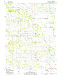
 1965 Downing NW1967 Print · USGSSchuyler County's agricultural heartland is documented here in the mid-1960s, showing a landscape shaped by the Fabius River and local rail lines. Researchers can trace family ties at sites like Germania Ch, Crowder Cem, and along the Chicago Burlington and Quincy railroad.
 - 1966 Map of Downing, 1967 Print
 1966 Downing1967 Print · USGSSchuyler and Scotland counties appear here in the mid-1960s, showing a rural landscape defined by the North Fabius River and the local rail line. Researchers can locate family landmarks like Friendship Cem, Middle Fabius Sch, and the community of Downing.
 - 1966 Map of Bible Grove, 1967 Print
 1966 Bible Grove1967 Print · USGSNortheast Missouri farm country is captured here in the mid-sixties at the junction of Scotland, Adair, and Knox Counties. Genealogists and local historians can trace the rural landscape around Bible Grove, Adair, and the Pleasant Ridge Ch.
 - 1966 Map of Willmathsville, 1967 Print
 1966 Willmathsville1967 Print · USGSThe rural borders of Adair and Schuyler Counties come to life in the mid-1960s, showing a landscape shaped by the Salt River and its many forks. Researchers can trace family roots at Bethel Ch Cem and Richardson Cem or explore the quiet crossroads of Sperry and Willmathsville.
 - 1974 Map of Queen City NE, 1976 Print
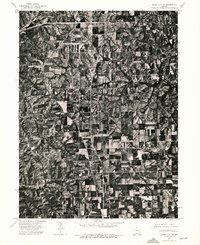 1974 Queen City NE1976 Print · USGSSchuyler County's agricultural landscape is captured with photographic precision during the mid-seventies. Researchers can trace the development of the local road network and examine the physical footprint of Queen City and its surrounding farmsteads.
 - 1974 Map of Queen City NW, 1976 Print
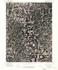 1974 Queen City NW1976 Print · USGSSchuyler County farmland is captured in remarkable aerial detail during the mid-seventies, showing the rural landscape just north of Queen City. Genealogists and local historians can pinpoint farmsteads near Livonia and trace the winding course of the Chariton River past Worthington.
 - 1974 Map of Queen City SE, 1976 Print
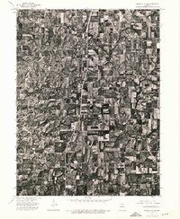 1974 Queen City SE1976 Print · USGSAdair County farmsteads and rural crossroads are captured in this mid-seventies aerial survey of northern Missouri. Genealogists and local historians can trace property lines and the early footprint of Route 63 through settlements like Greentop and Sublette.
 - 1979 Map of Queen City
 1979 Queen City1979 Print · USGSSchuyler County at the end of the 1970s shows a landscape defined by the Norfolk and Western rail corridor and rural community life. Genealogists can trace family names at the New Hope Ch Graves, Tarr Cem, and Myers Cem.
 - 1979 Map of Livonia
 1979 Livonia1979 Print · USGSNortheastern Missouri farmland and river bottoms are captured here in the late seventies as the rural landscape transitioned between old rail eras and modern agriculture. Researchers can trace the Old RR Grade near Worthington or locate numerous historic burial sites like Jimtown Cem and Gillespie Cem.
 - 1979 Map of Greentop
 1979 Greentop1979 Print · USGSThe border of Schuyler and Adair counties is captured here in the late 1970s as agricultural life centered on the Norfolk and Western rail line. Genealogists and local historians can trace rural landmarks like Hazel Creek Ch, Sublette, and Oak Grove Cem.
 - 1979 Map of Connelsville
 1979 Connelsville1979 Print · USGSAdair County during the late 1970s shows a landscape of river-bottom farms and small rural settlements centered on the Chariton River. Genealogists can trace family history through numerous remote burial sites like Nineveh Cem and Mulberry Cem or locate the Old Railroad Grade near Connelsville.
 - 1979 Map of Lancaster, 1980 Print
 1979 Lancaster1980 Print · USGSSchuyler County and the Iowa borderlands appear in the late seventies as a landscape shaped by competing rail lines and river forks. Genealogists can trace family footprints through several rural burial grounds like Washington Cem and Liberty Cem or the rail junction at Glenwood Junction.
 - 1979 Map of Coatsville, 1980 Print
 1979 Coatsville1980 Print · USGSThe Missouri-Iowa border comes into focus in the late 1970s, showing a landscape defined by the winding Chariton River and rural rail lines. Genealogists can locate numerous burial grounds and remote landmarks like Pleasant Grove Cem, Coal City, and Hilltown Ch.
 - 1980 Map of Kilwinning
 1980 Kilwinning1980 Print · USGSThe Missouri-Iowa border comes alive in this late-century survey of Scotland and Schuyler Counties. Researchers can trace rural lineages through numerous country burial grounds and community centers like Sacred Heart Cem, Barker Ch, and Wanetta Corner.
 - 1980 Map of Bunker Hill
 1980 Bunker Hill1980 Print · USGSThe Missouri-Iowa state line at the start of the 1980s reveals a rural landscape shaped by the North Fabius River and its many branches. Genealogists can trace family connections through local landmarks like Darby Ch, Walker Chapel Cem, and the small settlement of Savannah.
 - 1981 Map of Centerville, 1982 Print
 1981 Centerville1982 Print · USGSThe borderlands of southern Iowa and northern Missouri are captured here in the early eighties as Rathbun Lake and the Chariton River define the local geography. Researchers can trace historic rail lines like the Norfolk and Western and locate vanished hamlets such as Coal City and Glenwood Junction.
 - 1981 Map of Kirksville, 1982 Print
 1981 Kirksville1982 Print · USGSNortheast Missouri in the early eighties was a landscape of rail-connected trade towns and significant river valleys. Researchers can trace the legacy of medical education at the Kirksville College of Osteopathic Med or locate family roots in Unionville, Edina, and Bible Grove.
 - 2010 Map of Kilwinning, 2010 Print
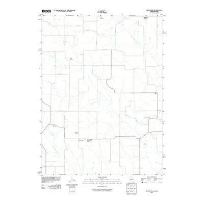 2010 Kilwinning2010 Print · USGSCovers Schuyler County, including Hitt, Kilwinning, and other nearby areas
 - 2010 Map of Bunker Hill, 2010 Print
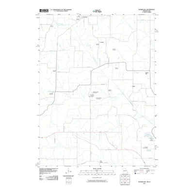 2010 Bunker Hill2010 Print · USGSCovers Schuyler County, including Lunsford, Vinita, and other nearby areas
Showing maps 1-25 of 75
Top cities of Schuyler County
Frequently asked questions
- What are the different types of historical maps available for Schuyler County?
- What is the oldest map of Schuyler County?
- Where can I purchase historical maps of Schuyler County for my home or office?
- Where can I download high-res historical maps of Schuyler County?
- Are there historical topographic maps available for Schuyler County?
- Is there historical aerial imagery available for Schuyler County?
- Where are historical maps of Schuyler County sourced from?