Old Maps of Pleasant Retreat, Missouri for Hiking & Exploration
Hike through history with 10 historic maps of Pleasant Retreat. Explore old trails, ghost towns, and forgotten backroads — perfect for outdoor adventurers and local explorers.
- Rediscover forgotten places: Map out old mining camps, roads, and footpaths that no longer exist on modern maps.
- Layer with modern tools: Combine with LiDAR or satellite views to plan hikes through historical terrain.
- Made for exploration: Popular among hikers, overlanders, and local history lovers.
Use these maps to find adventure and explore the hidden past of Pleasant Retreat.
Pleasant Retreat, MO maps
(10)- 1903 Map of Edina
 1903 Edina1903 Print · USGSNortheast Missouri at the turn of the century shows a bustling landscape of rail-fed market towns and river valley townships. Researchers can trace the path of the Santa Fe Railroad through Baring or locate early settlements like Pleasant Retreat and Bible Grove.2 unique versions available
 - 1954 Map of Centerville, 1967 Print
 1954 Centerville1967 Print · USGSThe Iowa-Missouri borderlands at mid-century reveal a landscape shaped by river valleys and the height of the regional rail network. Genealogists and historians can trace the paths of the Wabash railroad and locate old townsites like Mystic, Moulton, and Greentop.3 unique versions available
 - 1957 Map of Centerville
 1957 Centerville1957 Print · USGSThe Iowa-Missouri borderlands in the mid-fifties reveal a landscape of river-valley agriculture and vital rail corridors. Genealogists and historians can trace family-named landmarks and small-town growth in Centerville, Kirksville, and along the Wabash railroad line.
 - 1958 Map of Centerville
 1958 Centerville1958 Print · USGSThe Iowa-Missouri borderlands come into focus during the mid-fifties, showing a landscape defined by river valleys and intersecting rail lines. Genealogists and local historians can trace family roots through dozens of rural hubs like Bloomfield, Unionville, and Corydon.
 - 1965 Map of Greensburg, 1966 Print
 1965 Greensburg1966 Print · USGSScotland County farming communities are captured here in the mid-sixties at a time when family homesteads and rural cemeteries still defined the landscape. Genealogists can locate pioneer burial sites like Fort Donaldson Cem and Frogge Cem or trace the route of the Atchison Topeka and Santa Fe railroad.
 - 1981 Map of Kirksville, 1982 Print
 1981 Kirksville1982 Print · USGSNortheast Missouri in the early eighties was a landscape of rail-connected trade towns and significant river valleys. Researchers can trace the legacy of medical education at the Kirksville College of Osteopathic Med or locate family roots in Unionville, Edina, and Bible Grove.
 - 2012 Map of Greensburg, 2012 Print
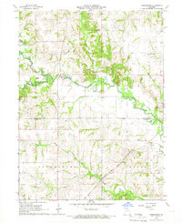
 2012 Greensburg2012 Print · USGSCovers Pleasant Retreat, including Sand Hill, Fabius, and other nearby areas
 - 2015 Map of Greensburg, 2015 Print
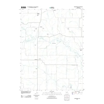
 2015 Greensburg2015 Print · USGSCovers Pleasant Retreat, including Sand Hill, Fabius, and other nearby areas
 - 2017 Map of Greensburg, 2017 Print
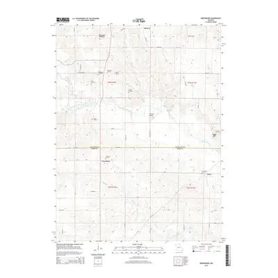
 2017 Greensburg2017 Print · USGSCovers Pleasant Retreat, including Sand Hill, Fabius, and other nearby areas
 - 2021 Map of Greensburg, 2021 Print
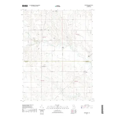
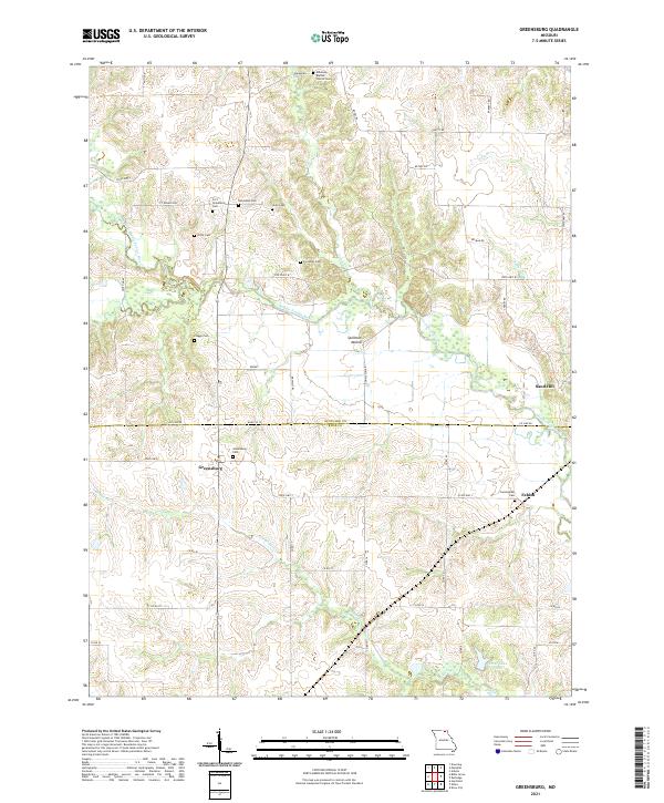 2021 Greensburg2021 Print · USGSScotland and Knox Counties are shown at the start of the 2020s, where the rural Missouri landscape remains defined by its river branches and deep-rooted family sites. Genealogists can trace local heritage through numerous cemeteries like Pettit Cem and Hicks Cem or locate the historic settlement at Greensburg.
End of results
Showing maps 1-10 of 10
Top cities near Pleasant Retreat
- Memphis historical maps
- Edina historical maps
- Downing historical maps
- Brashear historical maps
- Hurdland historical maps
- Knox City historical maps
See more
Frequently asked questions
- What are the different types of historical maps available for Pleasant Retreat?
- What is the oldest map of Pleasant Retreat?
- Where can I purchase historical maps of Pleasant Retreat for my home or office?
- Where can I download high-res historical maps of Pleasant Retreat?
- Are there historical topographic maps available for Pleasant Retreat?
- Is there historical aerial imagery available for Pleasant Retreat?
- Where are historical maps of Pleasant Retreat sourced from?