
1965 Map of Greensburg
USGS Topo · Published 1966About this map
Middle Fabius River and its various forks dominate the landscape of rural Scotland and Knox Counties, where agricultural life is punctuated by numerous family cemeteries and small rural congregations. The meandering waterway, including the North Fork Middle Fabius River and South Fork Middle Fabius River, flows through a region defined by scattered homesteads and local landmarks such as Spillman Mound. Significant for genealogists, the map preserves the locations of several burial grounds like Fort Donaldson Cem, Hicks Cem, and Frogge Cem, many of which were associated with original pioneer families of the Tobin and Greensburg townships.
Find a feature on this map
28 named features on this map. Tap any name to fly to it.
Don’t see what you’re looking for? This feature index may not catch every label — zoom into the map to look around manually.
Map Details
Editions of this 1965 Greensburg Map
This is the sole edition of this map. No revisions or reprints were ever made.
Other maps of this area

1903 · Edina
USGS Topo · 1:125,000

1954 · Centerville
USGS Topo · 1:250,000

1957 · Centerville
USGS Topo · 1:250,000

1958 · Centerville
USGS Topo · 1:250,000

1965 · Memphis
USGS Topo · 1:24,000
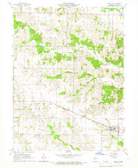
1965 · Knox City
USGS Topo · 1:24,000
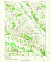
1965 · Rutledge
USGS Topo · 1:24,000
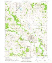
1965 · Edina
USGS Topo · 1:24,000
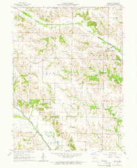
1965 · Arbela
USGS Topo · 1:24,000

1966 · Downing
USGS Topo · 1:24,000