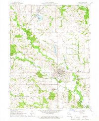
1965 Map of Edina
USGS Topo · Published 1966About this map
Edina serves as the central hub of this Knox County landscape, where the confluence of regional transit and local agriculture is clearly visible. The town's grid is bisected by the Chicago Burlington and Quincy railroad, while the northern settlement of Baring is situated along the Atchison Topeka and Santa Fe line. These rail corridors, alongside water sources like the Edina Reservoir, shaped the development of the township divisions including Center, Lyon, and Liberty.
Find a feature on this map
22 named features on this map. Tap any name to fly to it.
Don’t see what you’re looking for? This feature index may not catch every label — zoom into the map to look around manually.
Map Details
Editions of this 1965 Edina Map
2 editions found
Other maps of this area

1903 · Edina
USGS Topo · 1:125,000

1954 · Centerville
USGS Topo · 1:250,000

1957 · Centerville
USGS Topo · 1:250,000

1958 · Centerville
USGS Topo · 1:250,000
1965 · Edina SE
USGS Topo · 1:24,000
1965 · Knox City
USGS Topo · 1:24,000
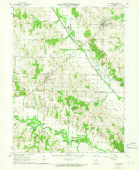
1965 · Rutledge
USGS Topo · 1:24,000
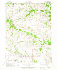
1965 · Novelty
USGS Topo · 1:24,000

1965 · Greensburg
USGS Topo · 1:24,000
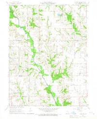
1965 · Locust Hill
USGS Topo · 1:24,000