Old Maps of Montier, Missouri for Academic Research
Study the evolution of Montier with 11 high-resolution historic maps. Whether you're teaching, researching, or modeling changes in land use, these maps provide essential visual documentation of urban, environmental, and geographic change.
- Analyze long-term change: Track patterns in development, transportation, and natural features.
- Ideal for environmental or urban studies: Support academic projects with primary historical map data.
- Use in the classroom or lab: Educators and researchers rely on these maps to bring historical context to life.
These maps are a powerful tool for teaching, research, and visualizing how Montier has changed over the decades.
Montier, MO maps
(11)- 1945 Map of Montier, 1960 Print
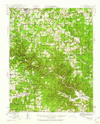 1945 Montier1960 Print · USGSThe Missouri Ozarks during the mid-1940s are documented here, showing a landscape of small settlements and river valleys just as the post-war era began. Local historians can trace dozens of country schools and churches, from Gravel Ridge Sch to the Hilltop Mission and the remote Sherwood Reese Ranch.2 unique versions available
 - 1948 Map of Montier
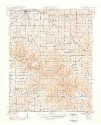 1948 Montier1948 Print · USGSPost-war Howell, Shannon, and Oregon Counties come to life here, showing the ridge-and-hollow social network of the Missouri Ozarks. Genealogists can trace family names through dozens of rural landmarks like Marble Hill Sch, Bennett Chapel, and the Brown Cem.2 unique versions available
 - 1957 Map of Poplar Bluff, 1968 Print
 1957 Poplar Bluff1968 Print · USGSThe Missouri-Arkansas border region is captured here as the timber and rail industries shaped the Ozark foothills. Genealogists and historians can trace the Missouri Pacific Railroad through river towns like Pocahontas, Greenville, and Van Buren.3 unique versions available
 - 1959 Map of Poplar Bluff
 1959 Poplar Bluff1959 Print · USGSThe Missouri Ozarks and Arkansas borderlands meet in this late 1950s study of the region's diverse terrain and rail-fed towns. Researchers can trace the path of the Missouri Pacific Railroad through Poplar Bluff or locate smaller settlements like Birch Tree and Myrtle.
 - 1960 Map of Poplar Bluff
 1960 Poplar Bluff1960 Print · USGSSoutheast Missouri and Northeast Arkansas are captured here during the post-war era, showing the transition from the Ozark highlands to the Delta. Genealogists and historians can trace rail corridors like the St. Louis Southwestern RR and remote settlements such as Birch Tree and Warm Springs.
 - 1984 Map of West Plains
 1984 West Plains1984 Print · USGSThe Missouri Ozarks are mapped here in the mid-1980s, centered on the regional hub of West Plains and the river corridors of the Eleven Point River. Trace the old rail lines and timber towns of Willow Springs, Mountain View, and Birch Tree through the Mark Twain National Forest.2 unique versions available
 - 1986 Map of Montier
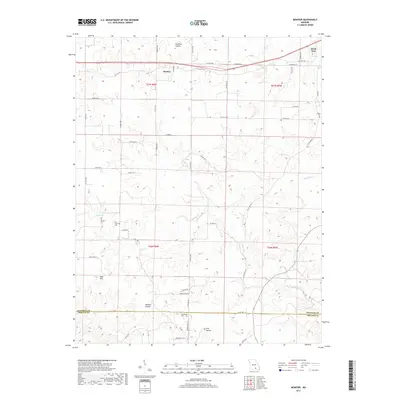
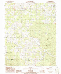 1986 Montier1986 Print · USGSShannon and Oregon Counties in the mid-1980s reveal a landscape of rural congregations and former rail lines. Researchers can trace the Old Railroad Grade past the Abd Mine and locate historic meeting places like Bethlehem Ch or Corinth Ch.
 - 2011 Map of Montier, 2011 Print
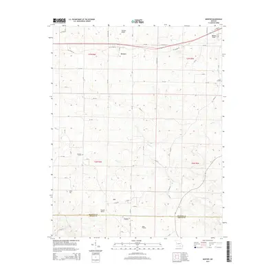
 2011 Montier2011 Print · USGSCovers Montier, including Birch Tree, Not, and other nearby areas
 - 2015 Map of Montier, 2015 Print
 2015 Montier2015 Print · USGSCovers Montier, including Birch Tree, Not, and other nearby areas
 - 2017 Map of Montier, 2017 Print
 2017 Montier2017 Print · USGSCovers Montier, including Birch Tree, Not, and other nearby areas
 - 2021 Map of Montier, 2021 Print
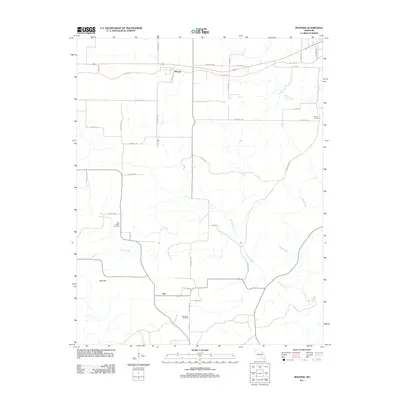
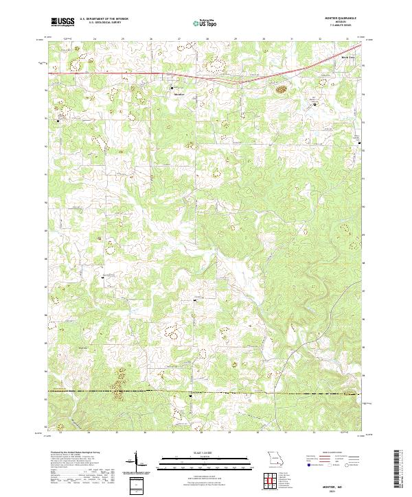 2021 Montier2021 Print · USGSShannon County at the start of the 2020s shows a landscape of deep hollows and high ridges centered on the settlement of Montier. Genealogists can trace numerous local burial grounds like New Salem Cem, Bethlehem Cem, and Pleasant Grove Cem along the rural roads.
End of results
Showing maps 1-11 of 11
Top cities near Montier
- Mountain View historical maps
- Birch Tree historical maps
- Eminence historical maps
- Summersville historical maps
Frequently asked questions
- What are the different types of historical maps available for Montier?
- What is the oldest map of Montier?
- Where can I purchase historical maps of Montier for my home or office?
- Where can I download high-res historical maps of Montier?
- Are there historical topographic maps available for Montier?
- Is there historical aerial imagery available for Montier?
- Where are historical maps of Montier sourced from?