Old Maps of Aquilla, Missouri
Explore 11 old maps of Aquilla, spanning from 1934 to today. These high-resolution historic maps reveal how streets, neighborhoods, landmarks, and natural features evolved over time — perfect for genealogy, metal detecting, research, and local history exploration.
What you can do with these maps:
- See how Aquilla changed over time: Compare historical maps to modern-day views to trace roads, homesites, rail lines & more.
- View detailed metadata: Each map includes creators, publishers, year, scale, and archive source.
- Overlay maps with satellite & LiDAR: Visualize the past alongside modern tools to explore terrain & human change.
- Trusted historical sources: Maps sourced from the USGS, Library of Congress, and other archives.
- Access maps your way: View online, download high-res files, or order prints for personal or research use.
Start exploring old maps of Aquilla to uncover forgotten places, hidden landmarks, and the deep history beneath your feet.
Aquilla, MO maps
(11)- 1934 Map of Bloomfield
 1934 Bloomfield1934 Print · USGSStoddard County in the early 1930s shows a landscape defined by industrial drainage projects and a robust network of rural schools. Genealogists can trace family footprints at Dowdy Cem or identify old community centers like Walker Ch and Philadelphia Ch.3 unique versions available
 - 1939 Map of Bloomfield
 1939 Bloomfield1939 Print · USGSBefore the full consolidation of modern school districts, this 1930s landscape was dotted with local anchors like Gravel Hill Sch and Beech Grove Sch. You can trace the complex drainage networks of Ditch No 33 and Panther Creek that transformed these Missouri bottomlands near Bloomfield.
 - 1949 Map of Bloomfield, 1958 Print
 1949 Bloomfield1958 Print · USGSStoddard County is documented here during the post-war years as its agricultural drainage systems and rail networks reached their peak. Local historians can trace family roots through numerous rural landmarks like Dowdy Cem, Holly Ch, and the Walnut Ridge Sch.
 - 1956 Map of Dyersburg, 1960 Print
 1956 Dyersburg1960 Print · USGSThe Four Rivers region comes alive in the mid-fifties, capturing the intricate borderlands of Tennessee, Kentucky, and Missouri. Genealogists and historians can trace the rail-and-river networks connecting Dyersburg, Caruthersville, and the shoreline of Reelfoot Lake.4 unique versions available
 - 1963 Map of Bloomfield, 1964 Print
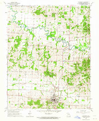 1963 Bloomfield1964 Print · USGSBloomfield and the surrounding Missouri lowlands appear here in the early sixties as a landscape of rural cemeteries, country churches, and evolving drainage systems. Researchers can trace the path of the Old Railroad Grade and locate family sites like Walker Cem or the Philadelphia Ch.3 unique versions available
 - 1963 Map of Bloomfield, 1967 Print
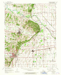 1963 Bloomfield1967 Print · USGSStoddard County in the early sixties showcases the managed landscapes of the Missouri Bootheel as the area transitioned into an agricultural powerhouse. Genealogists and historians can trace family locations near Dexter, identify rural landmarks like St Joe Ch, or locate the St Louis Southwestern Railroad tracks.
 - 1985 Map of Sikeston, 1986 Print
 1985 Sikeston1986 Print · USGSThe Missouri Bootheel and the four-state river convergence are captured in the mid-eighties as the modern agricultural and rail networks matured. Researchers can locate regional landmarks like the Towosahgy State Historic Site, Oak Grove Cem, and towns along the St Louis Southwestern Railroad.2 unique versions available
 - 2012 Map of Bloomfield, 2012 Print
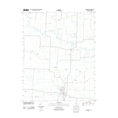 2012 Bloomfield2012 Print · USGSStoddard County's rural landscape comes into focus in the early 2010s, centered on the community of Bloomfield. Genealogists and researchers can trace a wealth of local burial sites including Lick Creek Cemetery, Walker Cemetery, and Wambel Cemetery.
 - 2015 Map of Bloomfield, 2015 Print
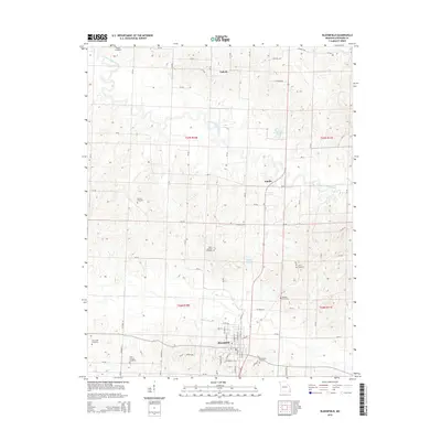 2015 Bloomfield2015 Print · USGSBloomfield and its surrounding Stoddard County townships are documented here during the mid-2010s. Researchers can locate numerous family burial grounds including North Antioch Cemetery, Lick Creek Cemetery, and Wambel Cemetery near the winding Upper Castor River.
 - 2017 Map of Bloomfield, 2017 Print
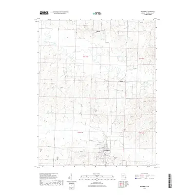 2017 Bloomfield2017 Print · USGSBloomfield and the surrounding Stoddard County countryside are captured here in the late twenty-tens, showing a landscape defined by the winding Upper Castor River. Researchers can trace local heritage through numerous burial sites like West Antioch Cem and Lick Creek Cem or locate rural homesteads near Zadock and Aquilla.
 - 2021 Map of Bloomfield, 2021 Print
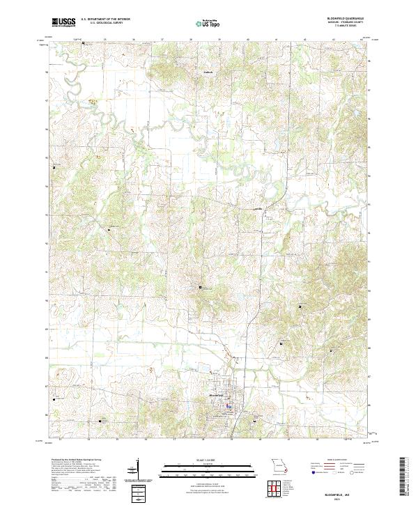 2021 Bloomfield2021 Print · USGSStoddard County's rolling river bottoms and rural uplands come into focus in this contemporary Missouri survey. Genealogists and historians can trace family locations near Bloomfield Cem, North Antioch Cem, and the small community of Zadock.
End of results
Showing maps 1-11 of 11
Top cities near Aquilla
- Dexter historical maps
- Bloomfield historical maps
- Advance historical maps
- Morehouse historical maps
- Essex historical maps
- Bell City historical maps
See more
Frequently asked questions
- What are the different types of historical maps available for Aquilla?
- What is the oldest map of Aquilla?
- Where can I purchase historical maps of Aquilla for my home or office?
- Where can I download high-res historical maps of Aquilla?
- Are there historical topographic maps available for Aquilla?
- Is there historical aerial imagery available for Aquilla?
- Where are historical maps of Aquilla sourced from?