Old Maps of Reeds Spring, Missouri for Hiking & Exploration
Hike through history with 32 historic maps of Reeds Spring. Explore old trails, ghost towns, and forgotten backroads — perfect for outdoor adventurers and local explorers.
- Rediscover forgotten places: Map out old mining camps, roads, and footpaths that no longer exist on modern maps.
- Layer with modern tools: Combine with LiDAR or satellite views to plan hikes through historical terrain.
- Made for exploration: Popular among hikers, overlanders, and local history lovers.
Use these maps to find adventure and explore the hidden past of Reeds Spring.
Reeds Spring, MO maps
(32)- 1907 Map of Forsyth
 1907 Forsyth1907 Print · USGSThe White River country of southwest Missouri is seen here in the early nineteen-hundreds, prior to the region's major dam projects. Genealogists can trace family homesteads near landmarks like Marble Cave, numerous riverside crossings such as Mabry Ferry, and local landmarks like Loafers Glory School.3 unique versions available
 - 1945 Map of Harrison
 1945 Harrison1945 Print · USGSThe Ozark and Boston Mountains straddle the Missouri-Arkansas border during the mid-forties, showing a landscape of forest ridges and river valleys. Genealogists and historians can trace rail-connected towns like Monett and West Plains or early lake developments at Bull Shoals Res and Norfork Lake.
 - 1949 Map of Harrison
 1949 Harrison1949 Print · USGSThe Ozark highlands of northern Arkansas and southern Missouri are shown just after the war, when the White River still followed its original course. Genealogists and historians can trace rail lines like the Missouri & Arkansas RR and locate rural hubs like Harrison, Eureka Springs, and Mountain Home.
 - 1950 Map of Garber, 1981 Print
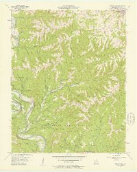
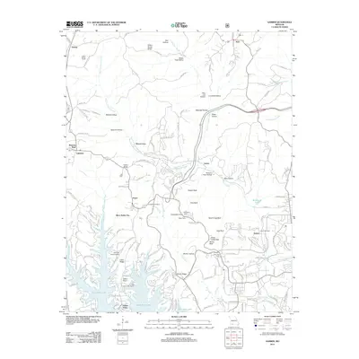
 1950 Garber1981 Print · USGSThe Ozark hills transition into a recreation and heritage hub during the mid-twentieth century as the new lake levels rise. Researchers can trace the roots of local lore at Old Matt's Cabin, visit the Notch Ch, or locate the site of Marvel Cave.
 - 1954 Map of Harrison
 1954 Harrison1954 Print · USGSThe Ozarks and Boston Mountains meet during a period of massive river engineering in the mid-fifties. Researchers can trace the early shorelines of Bull Shoals Lake and Table Rock Reservoir or locate inland towns like Berryville and Harrison.
 - 1956 Map of Garber, 1957 Print
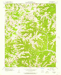
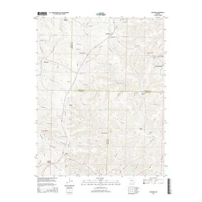
 1956 Garber1957 Print · USGSThe Ozark hills of Taney and Stone Counties are captured here in the mid-fifties, just as the region's literary fame was fueling early tourism. Researchers can locate the legendary Old Matts Cabin, the depths of Marvel Cave, and the abandoned Garber School along the rail line.3 unique versions available
 - 1956 Map of Spokane, 1957 Print
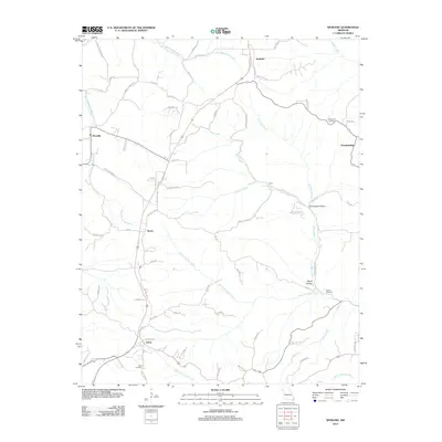
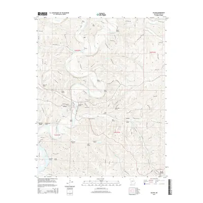
 1956 Spokane1957 Print · USGSThe Ozark plateau in the mid-1950s reveals a network of ridge-top settlements and creek-bottom homesteads across Christian and Stone Counties. Local researchers can trace family landmarks like Schupbach Cem, the site of Old Spanish Cave, and the rural community of Abesville.2 unique versions available
 - 1956 Map of Reeds Spring, 1957 Print
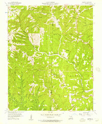
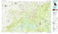
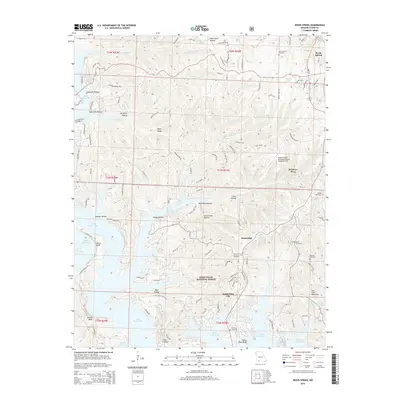
 1956 Reeds Spring1957 Print · USGSStone County in the mid-fifties shows the Ozark river valleys before the major reservoir changes. Researchers can trace rural lineages through sites like Yocum Pond Cem, Stallion Sch, and local congregations at Rock Ch.2 unique versions available
 - 1956 Map of Galena, 1957 Print
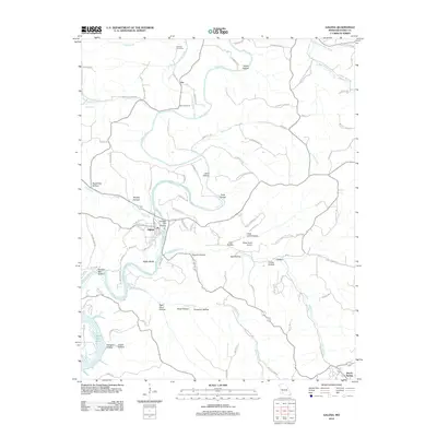
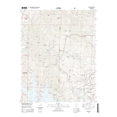
 1956 Galena1957 Print · USGSThe Ozark highlands of Stone County come alive in the mid-1950s as the James River loops past the town of Galena. Genealogists and historians can trace family-named landmarks like Parsons Cem and follow the route of the Missouri Pacific railroad.2 unique versions available
 - 1958 Map of Harrison, 1973 Print
 1958 Harrison1973 Print · USGSThe Ozark and Boston Mountains appear in this mid-century survey as the great White River impoundments were reshaping the region. Researchers can trace the rail lines of the St Louis-San Francisco Ry and locate early settlements like Berryville and Gainesville.
 - 1964 Map of Harrison
 1964 Harrison1964 Print · USGSThe Ozark and Boston Mountains of Arkansas and Missouri are captured here in the mid-sixties, showing the rugged highlands before extensive modern development. Genealogists and historians can trace family-named peaks like Gaither Mountain and follow the St Louis-San Francisco RR through Monett and Purdy.
 - 1985 Map of Table Rock Lake
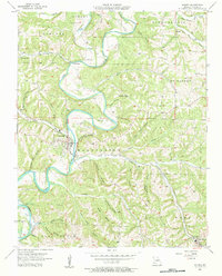
 1985 Table Rock Lake1985 Print · USGSSouthwest Missouri in the mid-1980s shows a landscape transformed by the waters of the White River and its reservoirs. Genealogists and local historians can trace the intricate shorelines of Table Rock Lake, locate rural crossroads like Jenkins and Madry, and explore the grounds of Roaring River State Park.
 - 1985 Map of Harrison
 1985 Harrison1985 Print · USGSThe Ozark highlands and the White River valley are seen here in the mid-1980s, showcasing a region defined by its massive reservoirs and protected wilderness. You can trace the rugged corridors of the Missouri & North Arkansas RR or locate historic settlements like Eureka Springs and Jasper.
 - 1989 Map of Garber
 1989 Garber1989 Print · USGSThe Ozark highlands near Branson are shown here in the late eighties, documenting a landscape where local lore meets tourism. Researchers can trace the development of Silver Dollar City and find local landmarks like Uncle Ikes Post Office and Marvel Cave.
 - 1989 Map of Reeds Spring
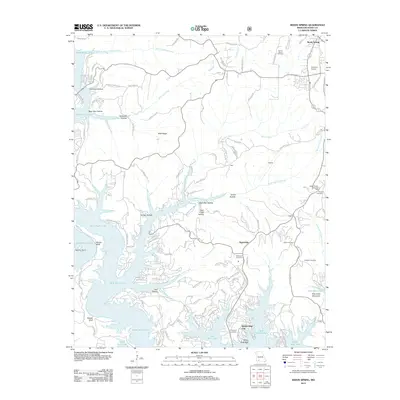
 1989 Reeds Spring1989 Print · USGSThe Missouri Ozarks are captured here during the late eighties, showing the rising lakefront communities and deep timberlands of Stone County. Genealogists can locate family landmarks like Nickerson Cem, Shepherd Cem, and the Yocum Pond Ch tucked into the hollows.
 - 1999 Map of Reeds Spring, 2002 Print
 1999 Reeds Spring2002 Print · USGSStone County was defined by its relationship to the water and the forest in the late twentieth century. Genealogists and historians can trace the development of Kimberling City and locate local landmarks like Shepherd Cem and Talking Rocks Cavern.
 - 2012 Map of Reeds Spring, 2012 Print
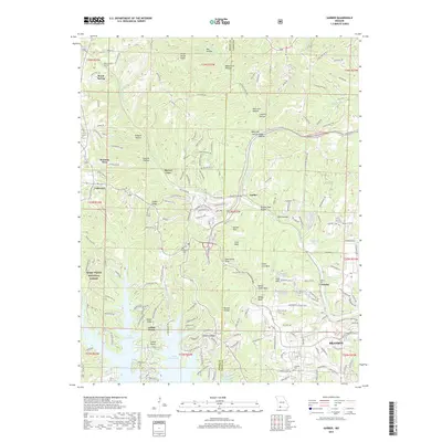
 2012 Reeds Spring2012 Print · USGSCovers Reeds Spring, including Kimberling City, Branson West, and other nearby areas
 - 2012 Map of Galena, 2012 Print
 2012 Galena2012 Print · USGSCovers Reeds Spring, including Galena, McCord Bend, and other nearby areas
 - 2012 Map of Spokane, 2012 Print
 2012 Spokane2012 Print · USGSCovers Reeds Spring, including Abesville, Spokane, and other nearby areas
 - 2012 Map of Garber, 2012 Print
 2012 Garber2012 Print · USGSCovers Reeds Spring, including Branson, Branson West, and other nearby areas
 - 2015 Map of Reeds Spring, 2015 Print
 2015 Reeds Spring2015 Print · USGSCovers Reeds Spring, including Kimberling City, Branson West, and other nearby areas
 - 2015 Map of Galena, 2015 Print
 2015 Galena2015 Print · USGSCovers Reeds Spring, including Galena, McCord Bend, and other nearby areas
 - 2015 Map of Garber, 2015 Print
 2015 Garber2015 Print · USGSCovers Reeds Spring, including Branson, Branson West, and other nearby areas
 - 2015 Map of Spokane, 2015 Print
 2015 Spokane2015 Print · USGSCovers Reeds Spring, including Abesville, Spokane, and other nearby areas
 - 2017 Map of Garber, 2017 Print
 2017 Garber2017 Print · USGSCovers Reeds Spring, including Branson, Branson West, and other nearby areas
Showing maps 1-25 of 32
Top cities near Reeds Spring
- Ozark historical maps
- Branson historical maps
- Hollister historical maps
- Kimberling City historical maps
- Crane historical maps
- Merriam Woods historical maps
See more
Frequently asked questions
- What are the different types of historical maps available for Reeds Spring?
- What is the oldest map of Reeds Spring?
- Where can I purchase historical maps of Reeds Spring for my home or office?
- Where can I download high-res historical maps of Reeds Spring?
- Are there historical topographic maps available for Reeds Spring?
- Is there historical aerial imagery available for Reeds Spring?
- Where are historical maps of Reeds Spring sourced from?