Old Maps of Sullivan County, Missouri for Genealogy
Trace your family roots with 113 historic maps of Sullivan County. These high-res maps reveal old neighborhoods, homesites, landmarks, and streets — helping you uncover where your ancestors lived and how the area evolved over time.
- Explore historic neighborhoods: Identify where your relatives may have lived in the 1800s or 1900s.
- Compare maps over time: Trace the changes in streets, buildings, and landmarks for multi-generational research.
- Perfect for genealogy & ancestry research: Used by family historians and researchers to map out lineage and migration.
These maps are an incredible resource for exploring your personal connection to Sullivan County's past.
Sullivan County, MO maps
(113)- 1912 Map of Green City, 1968 Print
 1912 Green City1968 Print · USGSNorthern Missouri at the dawn of the twentieth century reveals a landscape shaped by rural education and early rail lines. Local historians can trace dozens of country schools like Boon Hill School and vanished stops along the Quincy Omaha and Kansas City railroad.
 - 1914 Map of Green City
 1914 Green City1914 Print · USGSNorth-central Missouri thrived as a patchwork of small townships and family farms during the early twentieth century. Genealogists can trace rural life through dozens of local landmarks like Unionville, Shibley Point School, and the Kansas City and Omaha rail line.2 unique versions available
 - 1946 Map of Galt, 1981 Print
 1946 Galt1981 Print · USGSMid-century Missouri agriculture and rail life are preserved here, showing the region at the height of its rural school and church network. Genealogists can locate specific family landmarks like Sandefur Cem or trace the early paths to Mud College Sch and Camp Ground Ch.
 - 1949 Map of Galt
 1949 Galt1949 Print · USGSMid-century Missouri farm life is captured here near the Grundy and Sullivan county lines as the rail network still linked small towns. Trace family roots through numerous local schools and churches like Mud College Sch, Starlight Ch, and Richardson Cem.2 unique versions available
 - 1954 Map of Centerville, 1967 Print
 1954 Centerville1967 Print · USGSThe Iowa-Missouri borderlands at mid-century reveal a landscape shaped by river valleys and the height of the regional rail network. Genealogists and historians can trace the paths of the Wabash railroad and locate old townsites like Mystic, Moulton, and Greentop.3 unique versions available
 - 1957 Map of Centerville
 1957 Centerville1957 Print · USGSThe Iowa-Missouri borderlands in the mid-fifties reveal a landscape of river-valley agriculture and vital rail corridors. Genealogists and historians can trace family-named landmarks and small-town growth in Centerville, Kirksville, and along the Wabash railroad line.
 - 1958 Map of Centerville
 1958 Centerville1958 Print · USGSThe Iowa-Missouri borderlands come into focus during the mid-fifties, showing a landscape defined by river valleys and intersecting rail lines. Genealogists and local historians can trace family roots through dozens of rural hubs like Bloomfield, Unionville, and Corydon.
 - 1963 Map of Pure Air, 1964 Print
 1963 Pure Air1964 Print · USGSAdair and Sullivan County farmland is captured here in the early sixties, showing the rural crossroads and drainage basins of the Missouri interior. Researchers can trace family roots at Ringo Point Cem and Pure Air, or follow the banks of Spring Creek.
 - 1963 Map of Nind, 1965 Print
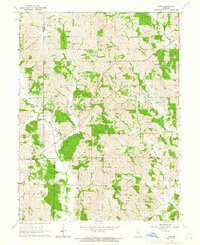 1963 Nind1965 Print · USGSNorth central Missouri agriculture and small-town life are documented here during the early sixties. Genealogists can locate family landmarks like Hall Cem, Mt Carmel Ch, and the rural Willow Branch Sch near the county lines.
 - 1963 Map of Mystic, 1965 Print
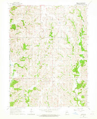 1963 Mystic1965 Print · USGSSullivan County during the early sixties is captured here as a landscape of rural hamlets and winding creek valleys. Researchers can trace family roots at Springer Cemetery or explore the old sites of Mystic and Sticklerville.
 - 1963 Map of Winigan, 1965 Print
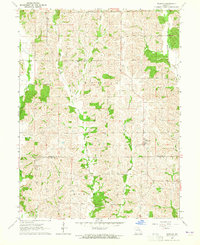 1963 Winigan1965 Print · USGSThe borderlands of Sullivan and Linn Counties come into focus in the early sixties, showing a landscape of small farms and creek-side settlements. Genealogists can trace family roots through several rural burial sites like Bunch Cem, Tallman Cem, and Price Cem.2 unique versions available
 - 1964 Map of Milan SE, 1965 Print
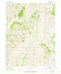 1964 Milan SE1965 Print · USGSThe rural borderlands of Sullivan and Linn County come to life in the mid-1960s, showing a landscape of family farms and creek-side settlements. Genealogists can trace local history through markers like Mt Zion Ch, Brittain Cem, and the village of Enterprise.
 - 1964 Map of Pollock NW, 1965 Print
 1964 Pollock NW1965 Print · USGSPutnam and Sullivan Counties are shown here in the mid-1960s, a period of quiet agricultural stability along the West Locust Creek valley. Genealogists can locate rural landmarks like West Concord Ch, Spring Cem, and the small settlement of Terre Haute.
 - 1964 Map of Harris, 1965 Print
 1964 Harris1965 Print · USGSSullivan County's rural townships are documented in the mid-sixties, showing the agricultural landscape and rail corridors near the Mercer and Grundy borders. Researchers can trace family roots at Harris Cem and Center Grove Ch or follow the Chicago Milwaukee St Paul and Pacific rail line.2 unique versions available
 - 1964 Map of Browning, 1965 Print
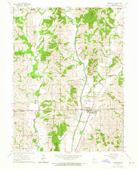 1964 Browning1965 Print · USGSBrowning straddles the county line in northern Missouri during the mid-sixties, an area shaped by the winding Locust Creek and a network of small family farms. Genealogists and historians can trace numerous rural landmarks like Locust Valley Ch and family burial sites including White Oak Cem and Jenkins Cem.
 - 1964 Map of Milan West, 1965 Print
 1964 Milan West1965 Print · USGSSullivan County’s rural character is on full display in the 1960s as Milan and the settlement at Reger anchor a landscape of winding creeks and family farms. Researchers can trace the path of the Railroad Grade or locate burial sites like Shatto Cem and Lovell Cem.2 unique versions available
 - 1964 Map of Milan East, 1965 Print
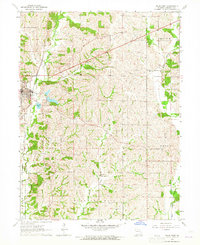 1964 Milan East1965 Print · USGSIn the mid-1960s, Sullivan County maintained its agricultural and rail-dependent character as Milan grew eastward. Researchers can trace rural genealogy through sites like Payne Cem and Mt Moriah Ch or locate the defunct OLD RAILROAD GRADE.2 unique versions available
 - 1964 Map of Unionville West, 1965 Print
 1964 Unionville West1965 Print · USGSPutnam County's rural landscape is captured here in the mid-1960s, showing the agricultural and transport networks that defined the region. You can trace the Chicago Burlington and Quincy rail line through Lemons and locate local landmarks like Triumph Sch and Cutter Cem.2 unique versions available
 - 1964 Map of Pollock, 1965 Print
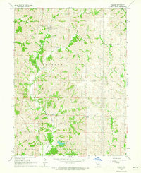 1964 Pollock1965 Print · USGSSullivan County was a landscape of rail-linked villages and family-named ridges in the early sixties. Researchers can trace the Chicago Burlington and Quincy line past Scobee Cem, Fairview Ch, and the settlement of Pollock.
 - 1964 Map of Pollock SW, 1965 Print
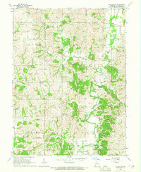 1964 Pollock SW1965 Print · USGSSullivan County in the mid-1960s was a landscape of deep stream valleys and high wooded ridges where townships like Clay and Jackson meet. Genealogists can trace family landmarks and rural centers including Bairdstown, Hurst Cem, and Thomas Union Ch.
 - 1964 Map of Lucerne, 1965 Print
 1964 Lucerne1965 Print · USGSThe rural landscape of Putnam County comes into focus in the mid-1960s, showing a region defined by its rail connections and creek-bottom farms. Researchers can trace family history through the Old Busby Cem, West Putnam Sch, and the village of Lucerne.
 - 1974 Map of Green City NW, 1975 Print
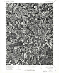 1974 Green City NW1975 Print · USGSThe northern Missouri landscape near the Iowa border comes into focus in the mid-1970s, revealing a detailed agricultural grid. Genealogists and local historians can trace the exact footprint of farmsteads and the streets of Unionville.
 - 1974 Map of Green City NE, 1976 Print
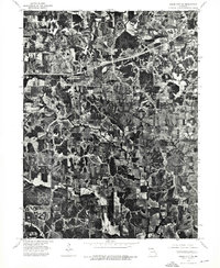 1974 Green City NE1976 Print · USGSIn the mid-1970s, the rural landscapes of Putnam County maintained a patchwork of dense timber and productive farmland. Genealogists and local historians can trace the precise layout of homesteads and road networks near Hartford and Glayville.
 - 1974 Map of Green City SE, 1976 Print
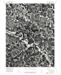 1974 Green City SE1976 Print · USGSCovers Sullivan County, including Sidney, Greencastle, and other nearby areas
 - 1974 Map of Green City SW, 1976 Print
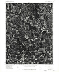 1974 Green City SW1976 Print · USGSSullivan County land use and rural settlements are captured in high-resolution detail during the mid-seventies. This aerial study allows genealogists and historians to trace the exact footprints of homes and businesses in Green City and Green Castle.
Showing maps 1-25 of 113
Top cities of Sullivan County
- Milan historical maps
- Green City historical maps
- Newtown historical maps
- Humphreys historical maps
- Pollock historical maps
- Harris historical maps
See more
Frequently asked questions
- What are the different types of historical maps available for Sullivan County?
- What is the oldest map of Sullivan County?
- Where can I purchase historical maps of Sullivan County for my home or office?
- Where can I download high-res historical maps of Sullivan County?
- Are there historical topographic maps available for Sullivan County?
- Is there historical aerial imagery available for Sullivan County?
- Where are historical maps of Sullivan County sourced from?