Old Maps of Green City, Missouri for Academic Research
Study the evolution of Green City with 12 high-resolution historic maps. Whether you're teaching, researching, or modeling changes in land use, these maps provide essential visual documentation of urban, environmental, and geographic change.
- Analyze long-term change: Track patterns in development, transportation, and natural features.
- Ideal for environmental or urban studies: Support academic projects with primary historical map data.
- Use in the classroom or lab: Educators and researchers rely on these maps to bring historical context to life.
These maps are a powerful tool for teaching, research, and visualizing how Green City has changed over the decades.
Green City, MO maps
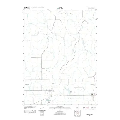
(12)- 1912 Map of Green City, 1968 Print
 1912 Green City1968 Print · USGSNorthern Missouri at the dawn of the twentieth century reveals a landscape shaped by rural education and early rail lines. Local historians can trace dozens of country schools like Boon Hill School and vanished stops along the Quincy Omaha and Kansas City railroad.
 - 1914 Map of Green City
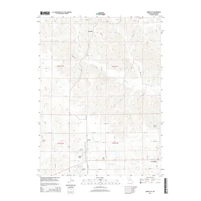
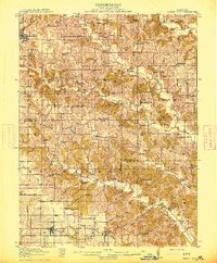 1914 Green City1914 Print · USGSNorth-central Missouri thrived as a patchwork of small townships and family farms during the early twentieth century. Genealogists can trace rural life through dozens of local landmarks like Unionville, Shibley Point School, and the Kansas City and Omaha rail line.2 unique versions available
 - 1954 Map of Centerville, 1967 Print
 1954 Centerville1967 Print · USGSThe Iowa-Missouri borderlands at mid-century reveal a landscape shaped by river valleys and the height of the regional rail network. Genealogists and historians can trace the paths of the Wabash railroad and locate old townsites like Mystic, Moulton, and Greentop.3 unique versions available
 - 1957 Map of Centerville
 1957 Centerville1957 Print · USGSThe Iowa-Missouri borderlands in the mid-fifties reveal a landscape of river-valley agriculture and vital rail corridors. Genealogists and historians can trace family-named landmarks and small-town growth in Centerville, Kirksville, and along the Wabash railroad line.
 - 1958 Map of Centerville
 1958 Centerville1958 Print · USGSThe Iowa-Missouri borderlands come into focus during the mid-fifties, showing a landscape defined by river valleys and intersecting rail lines. Genealogists and local historians can trace family roots through dozens of rural hubs like Bloomfield, Unionville, and Corydon.
 - 1974 Map of Green City SW, 1976 Print
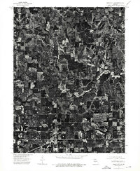 1974 Green City SW1976 Print · USGSSullivan County land use and rural settlements are captured in high-resolution detail during the mid-seventies. This aerial study allows genealogists and historians to trace the exact footprints of homes and businesses in Green City and Green Castle.
 - 1979 Map of Green City
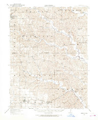
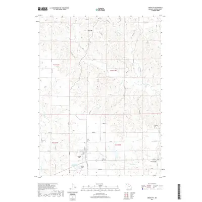
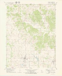 1979 Green City1979 Print · USGSGreen City and Green Castle are mapped here during the late seventies, showing the traditional farm townships of Sullivan County. Genealogists and historians can trace the Old Railroad Grade and locate family sites at Hawkeye Cem or Green City Cem.
 - 1981 Map of Kirksville, 1982 Print
 1981 Kirksville1982 Print · USGSNortheast Missouri in the early eighties was a landscape of rail-connected trade towns and significant river valleys. Researchers can trace the legacy of medical education at the Kirksville College of Osteopathic Med or locate family roots in Unionville, Edina, and Bible Grove.
 - 2012 Map of Green City, 2012 Print
 2012 Green City2012 Print · USGSCovers Green City, including Pennville, Greencastle, and other nearby areas
 - 2015 Map of Green City, 2015 Print
 2015 Green City2015 Print · USGSCovers Green City, including Pennville, Greencastle, and other nearby areas
 - 2017 Map of Green City, 2017 Print
 2017 Green City2017 Print · USGSCovers Green City, including Pennville, Greencastle, and other nearby areas
 - 2021 Map of Green City, 2021 Print
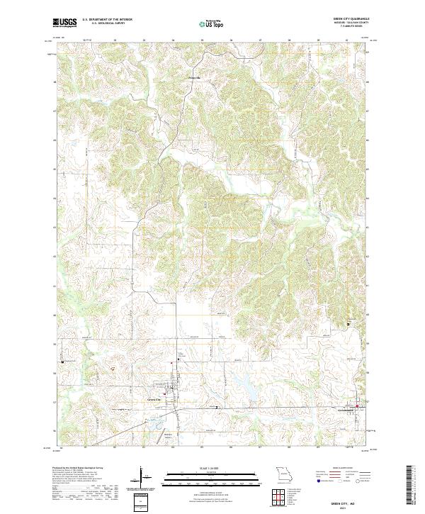 2021 Green City2021 Print · USGSSullivan County at the start of the 2020s shows a landscape of enduring rural settlements and family landmarks. Researchers can trace local roots at Green City Cemetery or Mount Olive Cemetery and locate the former sites of Pennville and Greencastle.
End of results
Showing maps 1-12 of 12
Top cities near Green City
Frequently asked questions
- What are the different types of historical maps available for Green City?
- What is the oldest map of Green City?
- Where can I purchase historical maps of Green City for my home or office?
- Where can I download high-res historical maps of Green City?
- Are there historical topographic maps available for Green City?
- Is there historical aerial imagery available for Green City?
- Where are historical maps of Green City sourced from?