2000s (21st Century) Maps of Forsyth, Missouri
Explore 8 historic maps of Forsyth from the 2000s (21st Century). These maps offer a rare glimpse into what life looked like during the 2000s — showing old roads, neighborhoods, homes, and landmarks that have changed or disappeared over time.
Whether you're researching your family's past, planning a metal detecting trip, or studying how Forsyth's landscape evolved across the 2000s, these high-resolution maps are a powerful tool for exploring the history of this region.
- Focus on a specific era: All maps on this page are from the 2000s, giving you a focused view of this time period.
- See what’s changed: Compare century-old streets, trails, and buildings to today's modern landscape using overlays and satellite layers.
- Research with precision: Use these maps for genealogy, historical research, land use analysis, or educational projects.
- View, download, or print: Maps are fully viewable online in high resolution, and can be downloaded or printed for your own records.
Start exploring Forsyth's history through authentic maps from the 2000s. This is your window into the past.
Forsyth, MO maps
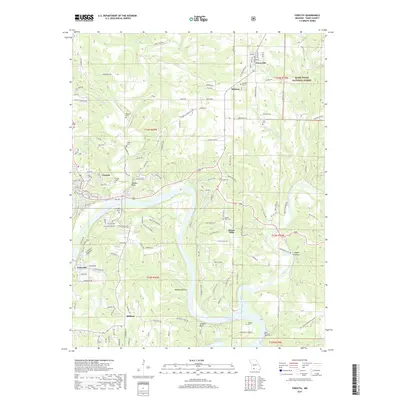
(8)- 2012 Map of Branson, 2012 Print
 2012 Branson2012 Print · USGSCovers Forsyth, including Branson, Hollister, and other nearby areas
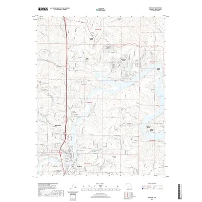
 - 2012 Map of Forsyth, 2012 Print
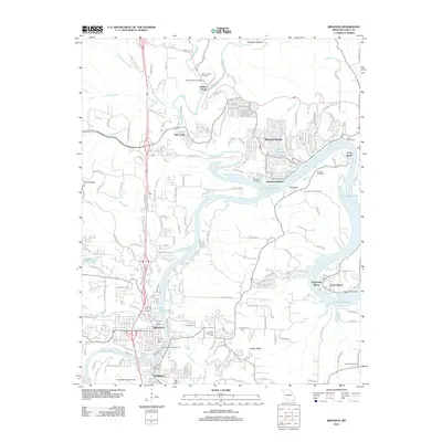
 2012 Forsyth2012 Print · USGSCovers Forsyth, including Taneyville, Dickens, and other nearby areas
 - 2015 Map of Forsyth, 2015 Print
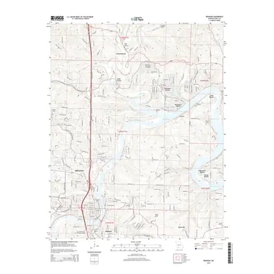
 2015 Forsyth2015 Print · USGSCovers Forsyth, including Taneyville, Dickens, and other nearby areas
 - 2015 Map of Branson, 2015 Print
 2015 Branson2015 Print · USGSCovers Forsyth, including Branson, Hollister, and other nearby areas
 - 2017 Map of Forsyth, 2017 Print
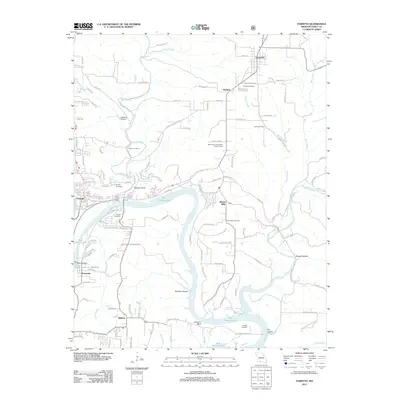
 2017 Forsyth2017 Print · USGSCovers Forsyth, including Taneyville, Dickens, and other nearby areas
 - 2017 Map of Branson, 2017 Print
 2017 Branson2017 Print · USGSCovers Forsyth, including Branson, Hollister, and other nearby areas
 - 2021 Map of Forsyth, 2021 Print
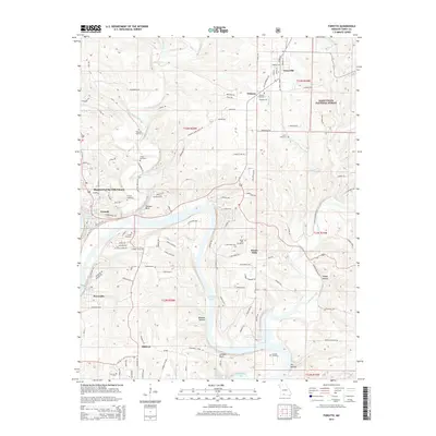
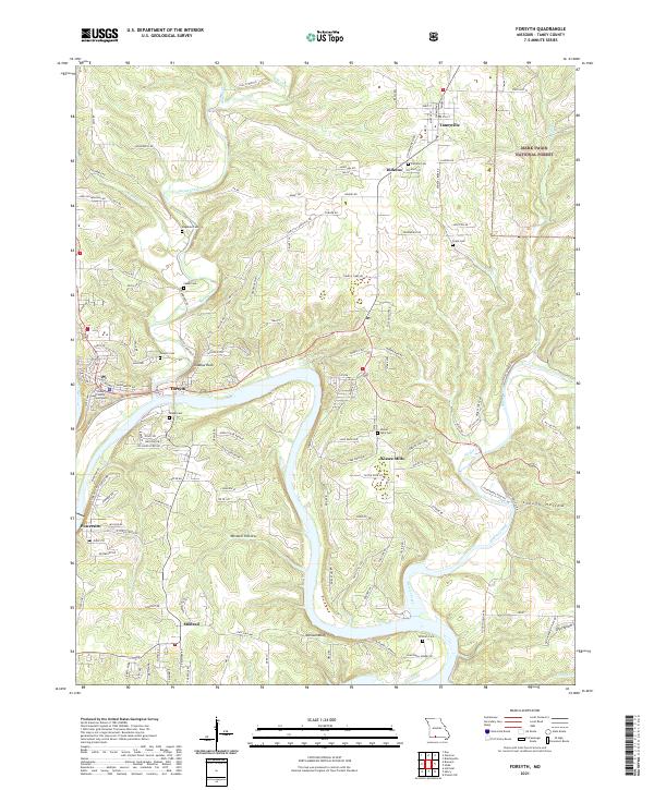 2021 Forsyth2021 Print · USGSThe area around Forsyth and the White River valley is shown in the early 2020s as a landscape of rural settlements and Ozark forest. Researchers can trace family sites at Kissee Mills Cem or follow historical river crossings along Blackwell Ferry Rd.
 - 2021 Map of Branson, 2021 Print
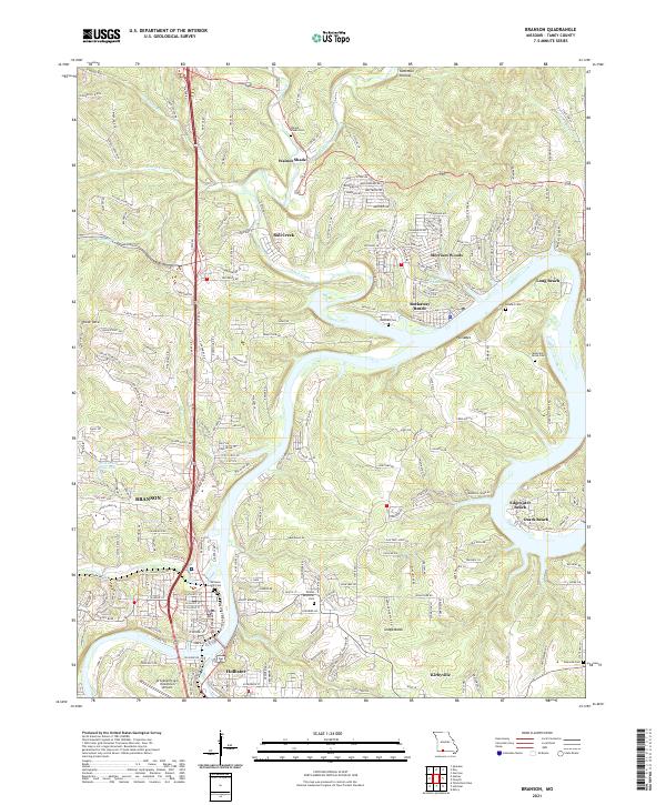 2021 Branson2021 Print · USGSThe Missouri Ozarks are showcased here during a period of sustained growth for the tourism and residential hubs along the White River system. Researchers can trace family history through several burial grounds like Branson City Cem and Walnut Shade Cem, or locate the aviation footprint of the M Graham Clark Downtown Airport.
End of results
Showing maps 1-8 of 8
Top cities near Forsyth
- Branson historical maps
- Hollister historical maps
- Merriam Woods historical maps
- Highlandville historical maps
- Diamond City historical maps
- Rockaway Beach historical maps
See more
Frequently asked questions
- What are the different types of historical maps available for Forsyth?
- What is the oldest map of Forsyth?
- Where can I purchase historical maps of Forsyth for my home or office?
- Where can I download high-res historical maps of Forsyth?
- Are there historical topographic maps available for Forsyth?
- Is there historical aerial imagery available for Forsyth?
- Where are historical maps of Forsyth sourced from?