2000s (21st Century) Maps of Kinderpost, Missouri
Explore 5 historic maps of Kinderpost from the 2000s (21st Century). These maps offer a rare glimpse into what life looked like during the 2000s — showing old roads, neighborhoods, homes, and landmarks that have changed or disappeared over time.
Whether you're researching your family's past, planning a metal detecting trip, or studying how Kinderpost's landscape evolved across the 2000s, these high-resolution maps are a powerful tool for exploring the history of this region.
- Focus on a specific era: All maps on this page are from the 2000s, giving you a focused view of this time period.
- See what’s changed: Compare century-old streets, trails, and buildings to today's modern landscape using overlays and satellite layers.
- Research with precision: Use these maps for genealogy, historical research, land use analysis, or educational projects.
- View, download, or print: Maps are fully viewable online in high resolution, and can be downloaded or printed for your own records.
Start exploring Kinderpost's history through authentic maps from the 2000s. This is your window into the past.
Kinderpost, MO maps
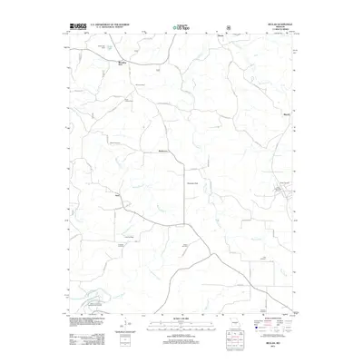
(5)- 2004 Map of Beulah, 2006 Print
 2004 Beulah2006 Print · USGSThe Big Piney River valley and the Mark Twain National Forest define this part of the Ozarks in the early 2000s. Genealogists and local historians can locate several family cemeteries and former school sites like Beulah Cem, Walnut Ridge Sch, and the George O White State Forest Nursery.
 - 2011 Map of Beulah, 2011 Print
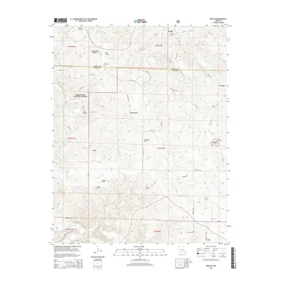
 2011 Beulah2011 Print · USGSCovers Kinderpost, including Sherrill, Licking, and other nearby areas
 - 2015 Map of Beulah, 2015 Print
 2015 Beulah2015 Print · USGSCovers Kinderpost, including Sherrill, Licking, and other nearby areas
 - 2017 Map of Beulah, 2017 Print
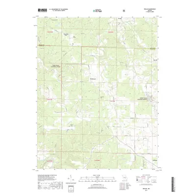 2017 Beulah2017 Print · USGSCovers Kinderpost, including Sherrill, Licking, and other nearby areas
 - 2021 Map of Beulah, 2021 Print
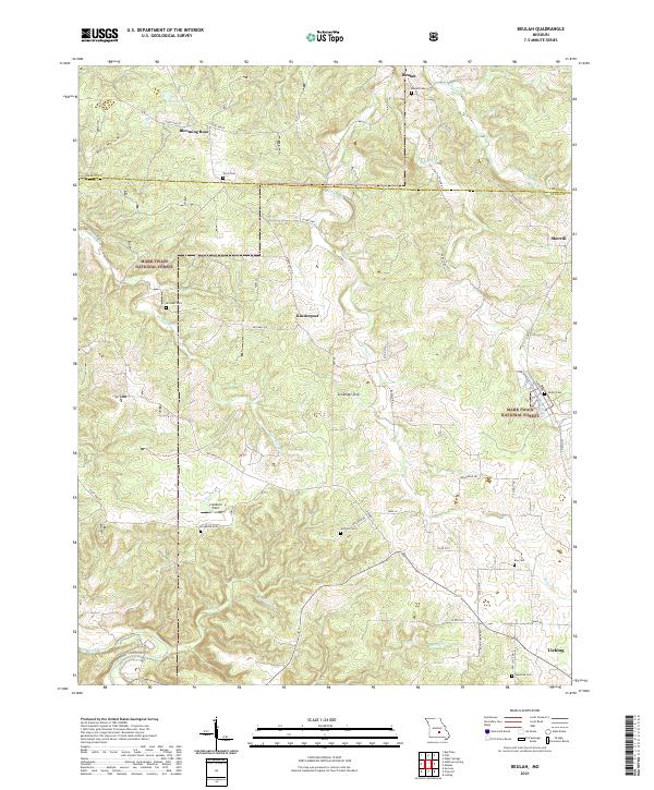 2021 Beulah2021 Print · USGSTexas County, Missouri, is depicted here in the early 2020s, showing a landscape defined by the Mark Twain National Forest and rural farmsteads. Researchers can locate family landmarks such as Beulah Cem, Kinderpost, and the distinct Zenender Sink.
End of results
Showing maps 1-5 of 5
Top cities near Kinderpost
- Saint Robert historical maps
- Sherrill historical maps
- Roubidoux historical maps
- Licking historical maps
- Upton historical maps
- Raymondville historical maps
See more
Frequently asked questions
- What are the different types of historical maps available for Kinderpost?
- What is the oldest map of Kinderpost?
- Where can I purchase historical maps of Kinderpost for my home or office?
- Where can I download high-res historical maps of Kinderpost?
- Are there historical topographic maps available for Kinderpost?
- Is there historical aerial imagery available for Kinderpost?
- Where are historical maps of Kinderpost sourced from?