Old Maps of Roubidoux, Missouri for Metal Detecting
Plan your next treasure hunt with 12 historic maps of Roubidoux. Find old homesites, ghost towns, trails, and gathering spots that may be lost to time — perfect for identifying promising metal detecting locations.
- Locate forgotten sites: Uncover places like long-lost settlements, abandoned rail lines, or gathering spots.
- Plan better hunts: Use map overlays combined with LiDAR or satellite views to narrow in on historically rich areas.
- Made for detectorists: Thousands of hobbyists use these maps to discover relics, coins, and hidden history.
Use these historic maps to boost your research and find new opportunities beneath the surface of Roubidoux.
Roubidoux, MO maps
(12)- 1941 Map of Bado, 1974 Print
 1941 Bado1974 Print · USGSTexas County, Missouri, is documented here in the early 1940s, showing a landscape of small upland farms and forest communities. Genealogists can trace family roots through numerous sites like Old Union Cem, Bucyrus, and Pleasant Ridge Sch.
 - 1943 Map of Bado
 1943 Bado1943 Print · USGSThe Missouri Ozarks are captured here in the early 1940s, showing a landscape defined by the Mark Twain National Forest and rural river valleys. Genealogists can trace family roots through numerous landmarks like Lynch Cem, Ragsdale Sch, and the Barium Mine.3 unique versions available
 - 1954 Map of Springfield
 1954 Springfield1954 Print · USGSThe Missouri Ozarks are captured here during the post-war era, showing the expansion of Springfield and the surrounding river valleys. Genealogists and historians can trace local landmarks like Mount Comfort Cemetery and the Fort Leonard Wood military grounds.6 unique versions available
 - 1958 Map of Springfield
 1958 Springfield1958 Print · USGSThe Missouri Ozarks are captured during the mid-century era of growth, centered on the bustling hub of Springfield. Genealogists and historians can trace family roots through numerous landmarks like Ebenezer Church, Stockton Cem, and the various county courthouses.
 - 1959 Map of Springfield
 1959 Springfield1959 Print · USGSThe Missouri Ozarks are captured here during a decade of postwar growth and increasing highway connectivity. Researchers can trace the legacy of the St Louis-San Francisco RR and locate early sites in Springfield, Lebanon, and Mountain Grove.
 - 1983 Map of Mountain Grove
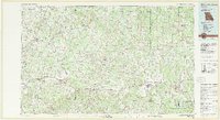 1983 Mountain Grove1983 Print · USGSWright and Webster counties in the early 1980s show a traditional Ozark landscape of ridge-running railroads and river headwaters. You can trace the Burlington Northern Railroad through towns like Mansfield or find rural landmarks like Vance Cem and Mt Zion Church.
 - 1987 Map of Roubidoux
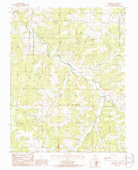 1987 Roubidoux1987 Print · USGSTexas County, Missouri, in the late eighties remains a landscape of deep timber and winding river valleys. Researchers can trace the rural road networks connecting Turley and Roubidoux or locate family ties along Roubidoux Creek and Mill Creek.
 - 2004 Map of Roubidoux, 2006 Print
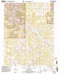 2004 Roubidoux2006 Print · USGSTexas County, Missouri, is shown here during a period of forest service management within the Mark Twain National Forest. Researchers can pinpoint family history at Old Union Cem or trace the locations of defunct local institutions like the Mill Cr Sch (Site) and Timber Ridge Sch (Site).
 - 2012 Map of Roubidoux, 2012 Print
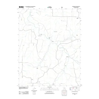 2012 Roubidoux2012 Print · USGSTexas County, Missouri, is shown here in the early 2010s as a landscape of deep hollows and rural outposts along Roubidoux Creek. Family historians can trace local roots through several sites like Lynch Cemetery, Old Union Cemetery, and the Embree Post Office.
 - 2015 Map of Roubidoux, 2015 Print
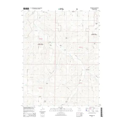 2015 Roubidoux2015 Print · USGSTexas County and the Roubidoux Creek valley are shown here in the mid-2010s, revealing a landscape of forested hollows and rural outposts. Genealogists can locate several historic burial sites, including Lynch Cemetery and Old Union Cemetery, alongside the small communities of Plato and Turley.
 - 2017 Map of Roubidoux, 2017 Print
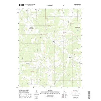 2017 Roubidoux2017 Print · USGSTexas County, Missouri, is shown here in the late 2010s, capturing a landscape of deep hollows and national forest timber. Local researchers can trace family roots through Lynch Cem and Old Concord Cem or locate the rural communities of Turley and Roubidoux.
 - 2021 Map of Roubidoux, 2021 Print
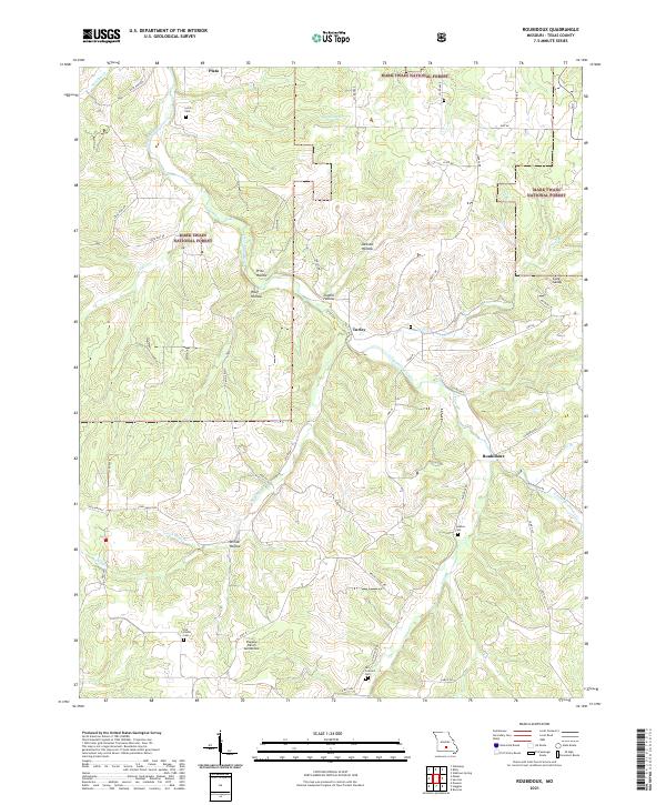 2021 Roubidoux2021 Print · USGSTexas County, Missouri, is shown here in the 2020s, highlighting the rural landscape surrounding the Mark Twain National Forest. Genealogists and historians can locate family burial sites like Jackson Cem and Old Union Cem tucked between the ridges of Price Hollow.
End of results
Showing maps 1-12 of 12
Top cities near Roubidoux
Frequently asked questions
- What are the different types of historical maps available for Roubidoux?
- What is the oldest map of Roubidoux?
- Where can I purchase historical maps of Roubidoux for my home or office?
- Where can I download high-res historical maps of Roubidoux?
- Are there historical topographic maps available for Roubidoux?
- Is there historical aerial imagery available for Roubidoux?
- Where are historical maps of Roubidoux sourced from?