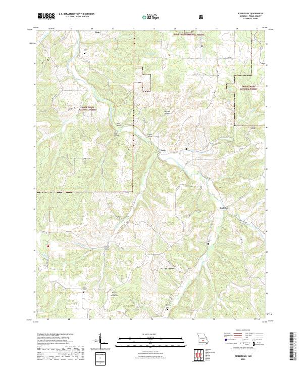
2021 Map of Roubidoux
USGS Topo · Published 2021About this map
The Mark Twain National Forest dominates this section of Texas County, defining a landscape shaped by the deep incision of Roubidoux Creek and its many tributaries. Smaller settlements like Plato, Turley, and Roubidoux are situated among a complex network of hollows, including Price Hollow and Jackson Hollow. This 2021 survey reveals a rural Missouri topography where land use is split between protected forest and family-scale agriculture, connected by routes such as State Hwy AH and State Hwy AE. Local heritage is preserved in several small burial grounds scattered across the terrain, including Lynch Cem and Old Concord Cem. The presence of the Pegasus Ranch Aerodrome near the center of the map indicates more modern aviation land use amidst the traditional hollows and ridges that characterize the southern Missouri Ozarks.
Find a feature on this map
51 named features on this map. Tap any name to fly to it.
Don’t see what you’re looking for? This feature index may not catch every label — zoom into the map to look around manually.
Map Details
Editions of this 2021 Roubidoux Map
This is the sole edition of this map. No revisions or reprints were ever made.
Other maps of this area

1931 · Manes
USGS Topo · 1:48,000

1941 · Big Piney
USGS Topo · 1:62,500

1941 · Manes
USGS Topo · 1:62,500

1941 · Bado
USGS Topo · 1:62,500

1943 · Big Piney
USGS Topo · 1:62,500

1943 · Manes
USGS Topo · 1:62,500

1943 · Drynob
USGS Topo · 1:62,500

1943 · Bado
USGS Topo · 1:62,500

1954 · Springfield
USGS Topo · 1:250,000

1954 · Drynob
USGS Topo · 1:62,500