2000s (21st Century) Maps of Katy, Missouri
Explore 5 historic maps of Katy from the 2000s (21st Century). These maps offer a rare glimpse into what life looked like during the 2000s — showing old roads, neighborhoods, homes, and landmarks that have changed or disappeared over time.
Whether you're researching your family's past, planning a metal detecting trip, or studying how Katy's landscape evolved across the 2000s, these high-resolution maps are a powerful tool for exploring the history of this region.
- Focus on a specific era: All maps on this page are from the 2000s, giving you a focused view of this time period.
- See what’s changed: Compare century-old streets, trails, and buildings to today's modern landscape using overlays and satellite layers.
- Research with precision: Use these maps for genealogy, historical research, land use analysis, or educational projects.
- View, download, or print: Maps are fully viewable online in high resolution, and can be downloaded or printed for your own records.
Start exploring Katy's history through authentic maps from the 2000s. This is your window into the past.
Katy, MO maps
(5)- 2009 Map of Deerfield, 2009 Print
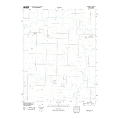 2009 Deerfield2009 Print · USGSCovers Katy, including Eve, Deerfield, and other nearby areas
 - 2011 Map of Deerfield, 2011 Print
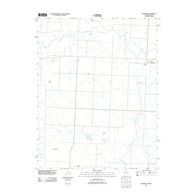 2011 Deerfield2011 Print · USGSCovers Katy, including Eve, Deerfield, and other nearby areas
 - 2015 Map of Deerfield, 2015 Print
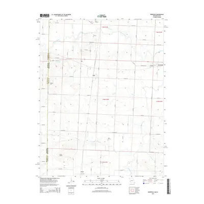 2015 Deerfield2015 Print · USGSCovers Katy, including Eve, Deerfield, and other nearby areas
 - 2017 Map of Deerfield, 2017 Print
 2017 Deerfield2017 Print · USGSCovers Katy, including Eve, Deerfield, and other nearby areas
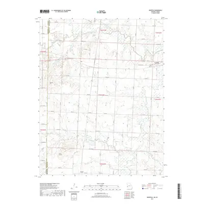
 - 2021 Map of Deerfield, 2021 Print
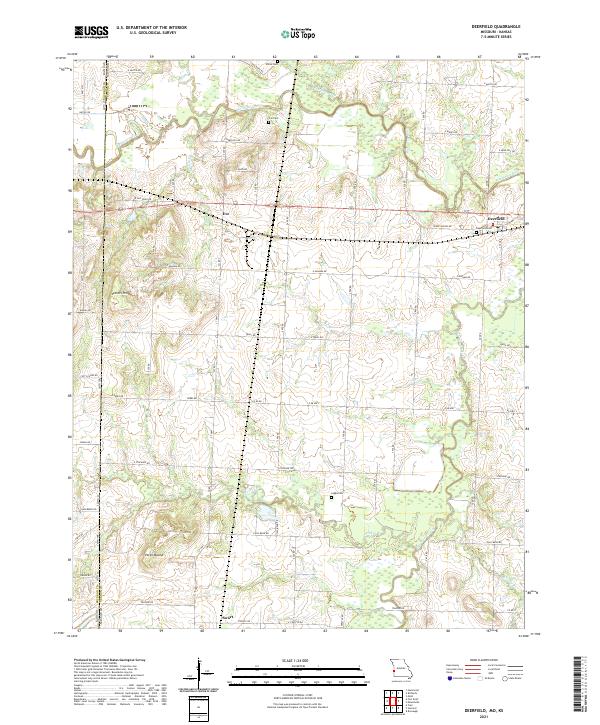 2021 Deerfield2021 Print · USGSDeerfield and the western edge of Vernon County are shown here as they appeared in 2021, centered on the Marmaton River bottomlands. Researchers can locate ancestral burial grounds at Cox Cem and White Cem or trace the early paths of Osage Nation Rd and Eve.
End of results
Showing maps 1-5 of 5
Top cities near Katy
- Nevada historical maps
- Fort Scott historical maps
- Arcadia historical maps
- Bronaugh historical maps
- Fulton historical maps
- Moundville historical maps
See more
Frequently asked questions
- What are the different types of historical maps available for Katy?
- What is the oldest map of Katy?
- Where can I purchase historical maps of Katy for my home or office?
- Where can I download high-res historical maps of Katy?
- Are there historical topographic maps available for Katy?
- Is there historical aerial imagery available for Katy?
- Where are historical maps of Katy sourced from?