2020s Maps of Warren County, Missouri
Explore 17 historic maps of Warren County from the 2020s. These maps offer a rare glimpse into what life looked like during the 2020s — showing old roads, neighborhoods, homes, and landmarks that have changed or disappeared over time.
Whether you're researching your family's past, planning a metal detecting trip, or studying how Warren County's landscape evolved across the 2020s, these high-resolution maps are a powerful tool for exploring the history of this region.
- Focus on a specific era: All maps on this page are from the 2020s, giving you a focused view of this time period.
- See what’s changed: Compare century-old streets, trails, and buildings to today's modern landscape using overlays and satellite layers.
- Research with precision: Use these maps for genealogy, historical research, land use analysis, or educational projects.
- View, download, or print: Maps are fully viewable online in high resolution, and can be downloaded or printed for your own records.
Start exploring Warren County's history through authentic maps from the 2020s. This is your window into the past.
Warren County, MO maps
(17)- 2021 Map of New Melle, 2021 Print
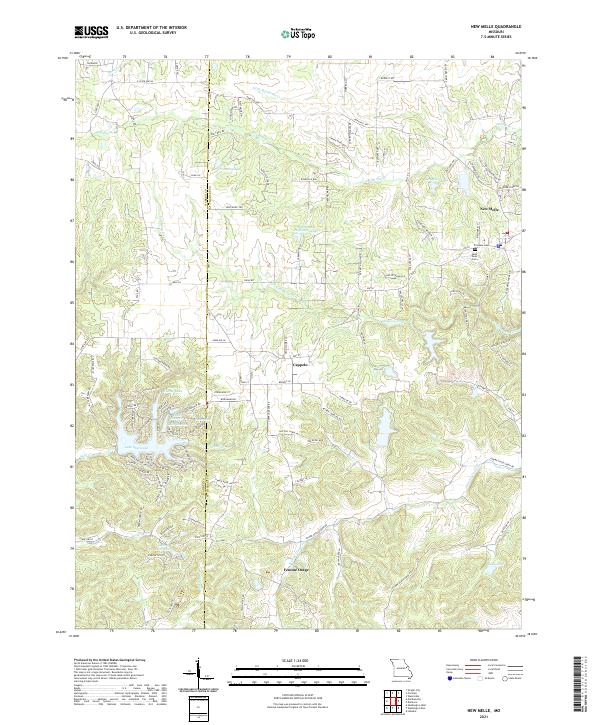 2021 New Melle2021 Print · USGSThe rural border of St. Charles and Warren counties is captured here in the early twenty-first century, showing a landscape of small settlements and reservoir systems. Researchers can trace local history at Friedens Cem or follow the waters of Femme Osage Creek through Cappeln and Femme Osage.
 - 2021 Map of Foristell, 2021 Print
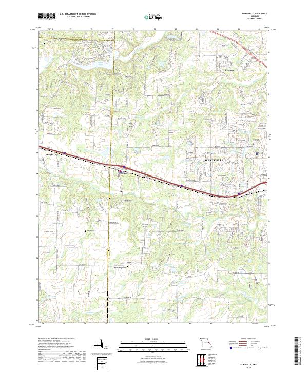 2021 Foristell2021 Print · USGSSettlement growth and rural landscapes meet in the 2020s near the St. Charles and Warren County line. Researchers can trace family history at Oak Grove Cemetery or locate landmarks like Incline Village Lake and Flint Hill.
 - 2021 Map of Washington East, 2021 Print
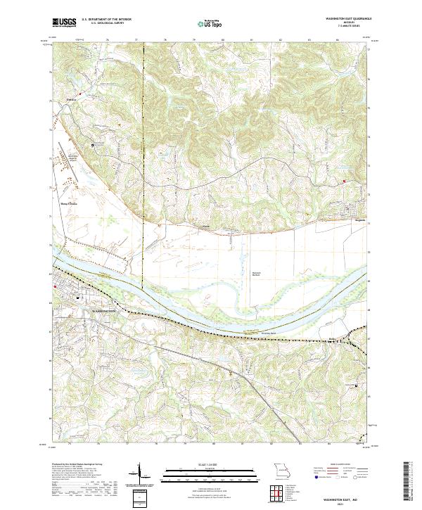 2021 Washington East2021 Print · USGSThe Missouri River valley near Augusta and Washington is captured here in the early twenty-first century. Genealogists and local historians can trace family-named sites like Saint Vincent de Paul Cem, the old settlement at Nona, and the riverside path of the Katy Trl.
 - 2021 Map of Treloar, 2021 Print
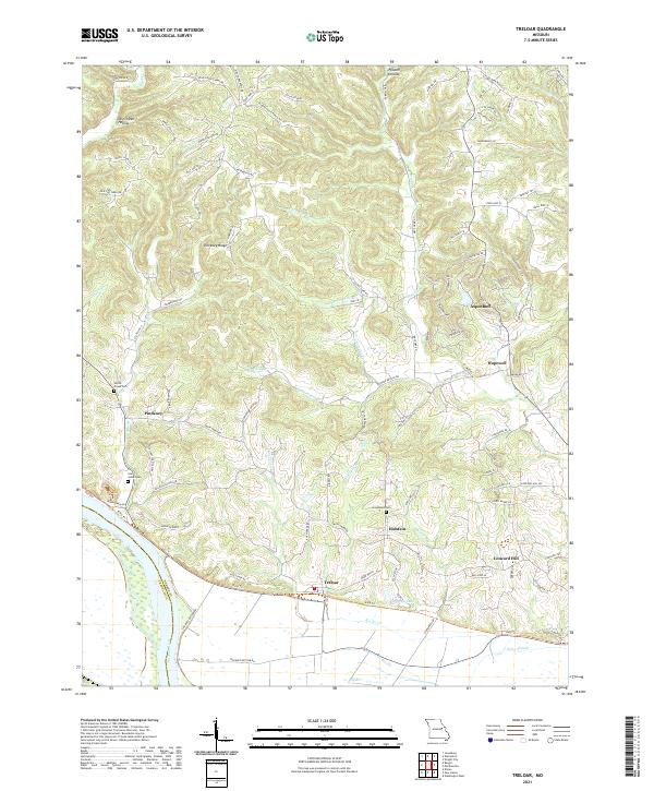 2021 Treloar2021 Print · USGSWarren County's riverfront and rolling ridges are documented here during the early 2020s, showing the enduring rural character near the Missouri River. Local historians can trace old homestead locations near Holstein and Treloar, or locate family sites at Saint Johns Cem and Immanuels Cem.
 - 2021 Map of New Haven, 2021 Print
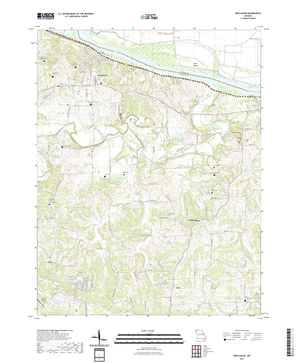 2021 New Haven2021 Print · USGSFranklin County's riverfront and rolling interior are captured in this recent survey of the Missouri River valley. Genealogists and local historians can trace the rural landscape between New Haven and Kiel, identifying numerous family burial sites like Kasel Cem and landmarks such as Enoch Knob.
 - 2021 Map of Warrenton NE, 2021 Print
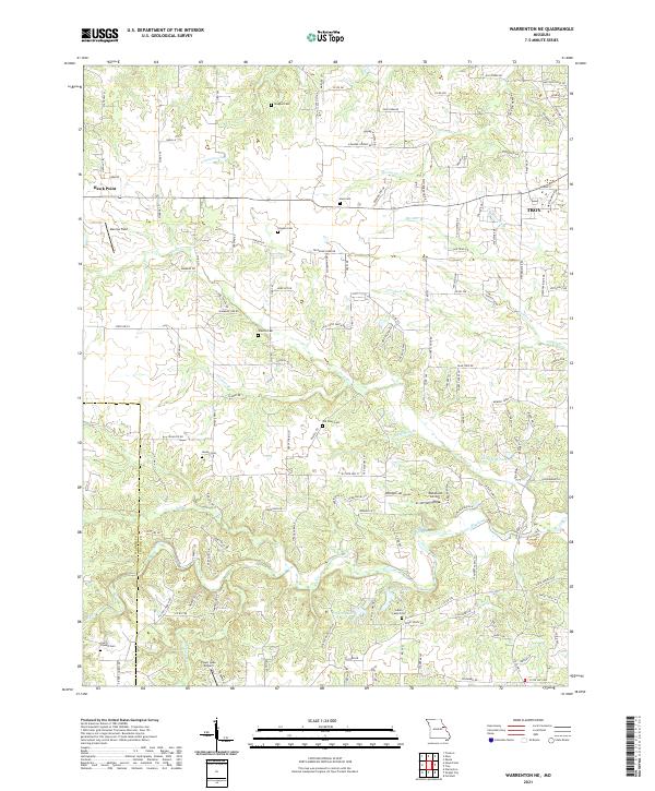 2021 Warrenton NE2021 Print · USGSLincoln and Warren counties appear here in the early 2020s, showing a rural landscape where old family burial grounds meet modern airstrips. Genealogists and local historians can trace legacy sites like Indian Camp Cem, Douglas Cem, and Slavens Cem near the waters of Hickory Lick Cr.
 - 2021 Map of Hermann, 2021 Print
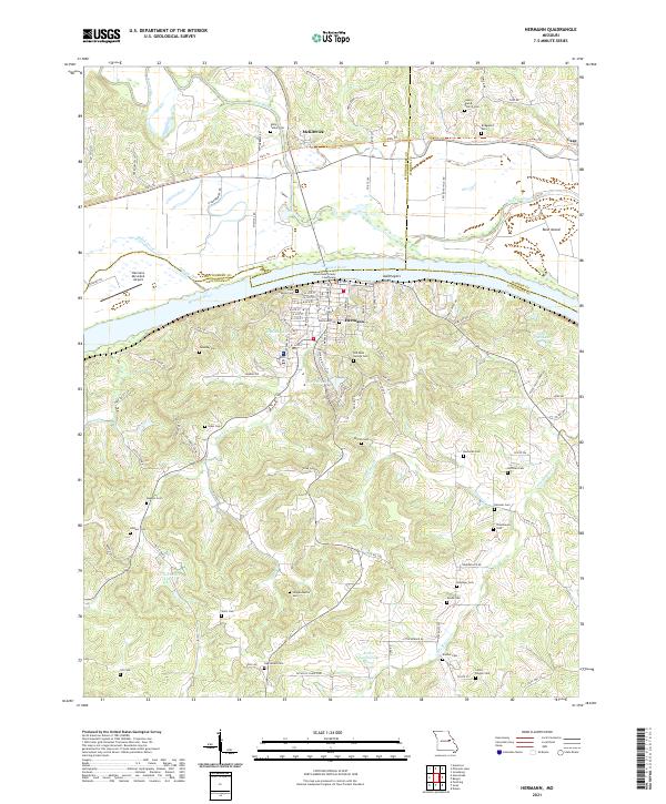 2021 Hermann2021 Print · USGSMissouri's Rhineland comes to life in this detailed view of Hermann and the Missouri River valley during the early twenty-first century. Genealogists and local historians can trace family roots through an exceptional number of burial sites, including Halle Talbot Cem, Poeschel Cem, and Loutre Island Church Cem.
 - 2021 Map of Bellflower South, 2021 Print
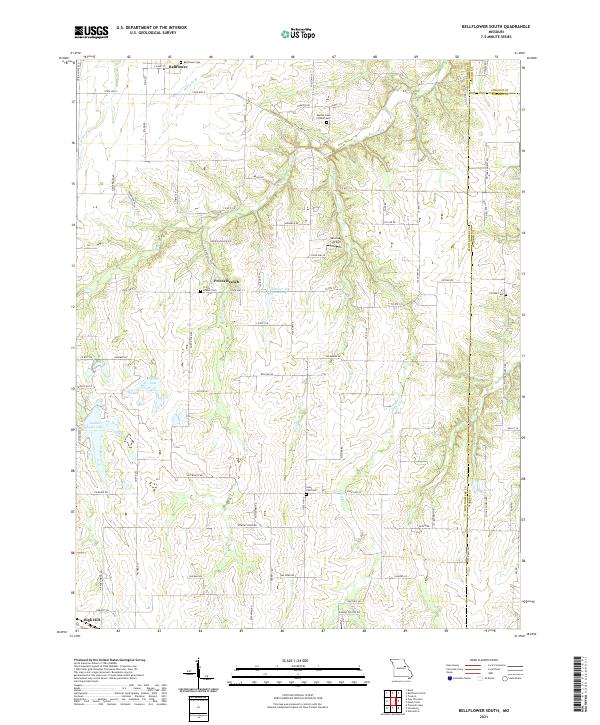 2021 Bellflower South2021 Print · USGSEastern Montgomery County is shown in detail during the early 2020s, highlighting the rural communities and county lines. Local historians can trace family roots through the Bellflower Cem, Prices Branch Cem, and the small settlement at High Hill.
 - 2021 Map of Pinnacle Lake, 2021 Print
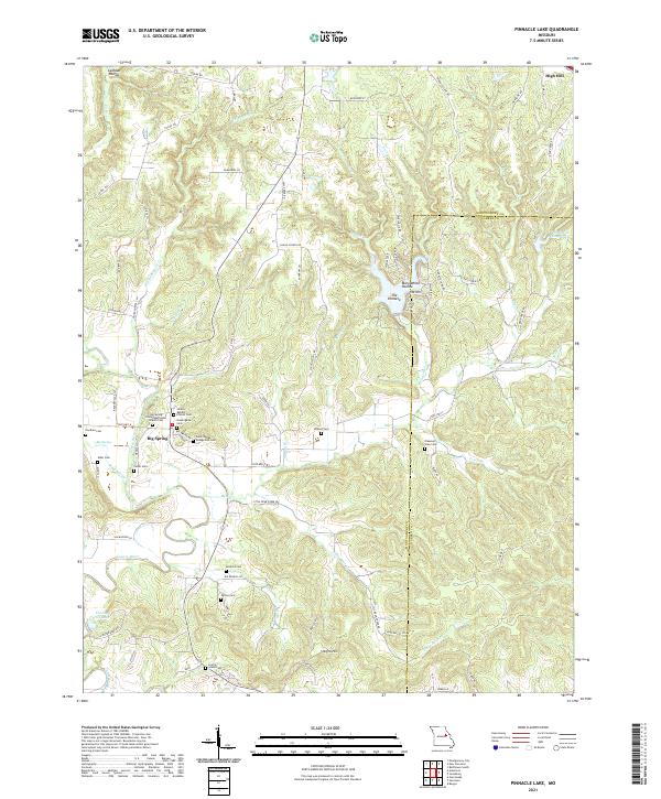 2021 Pinnacle Lake2021 Print · USGSThe rural landscape of Montgomery County is captured here in the early 2020s, showing a region defined by its deep-rooted family history and winding river valleys. Genealogists can locate several historic burial sites and congregations, including the Niedergerke Cem, Snethen Cem, and the Big Spring United Methodist Church.
 - 2021 Map of Berger, 2021 Print
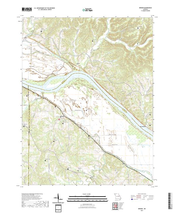 2021 Berger2021 Print · USGSThe river bluffs of Franklin County come into sharp focus in this recent survey of Berger and the winding Missouri River valley. Genealogists and local historians can trace family land and burial sites at Saint Pauls Cem, Finks Cem, and Etlah.
 - 2021 Map of Jonesburg, 2021 Print
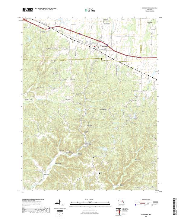 2021 Jonesburg2021 Print · USGSThe Missouri towns of Jonesburg and High Hill are captured here in the early twenty-first century along the historic Booneslick Rd corridor. Genealogists and local historians can locate Wright Cem, Ray Cem, and the many family-named landmarks like Henley Hollow.
 - 2021 Map of Washington West, 2021 Print
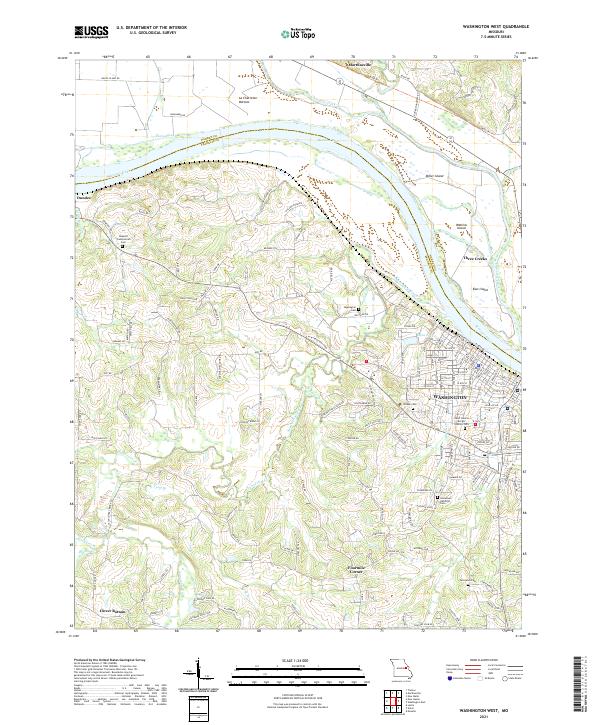 2021 Washington West2021 Print · USGSFranklin and Warren Counties are captured here along the Missouri River in 2021, showing the modern layout of the river valley. Researchers can trace local heritage through sites like Saint Francis Borgia Catholic Cem or explore the rural surroundings of Clover Bottom and Marthasville.
 - 2021 Map of Hawk Point, 2021 Print
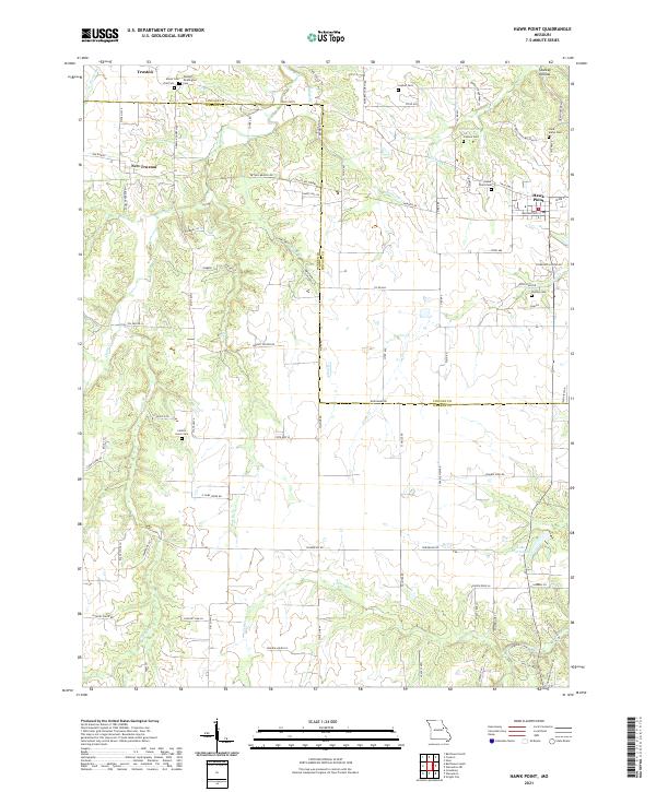 2021 Hawk Point2021 Print · USGSLincoln and Warren Counties are captured here in a contemporary rural light, showing the enduring agricultural character of the Missouri interior. Researchers can find numerous family burial sites like Anson Cemetery and landmarks such as Cannon Spring or Starkey Hollow.
 - 2021 Map of Wright City, 2021 Print
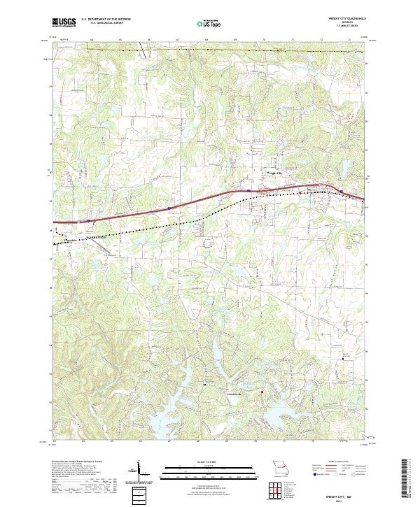 2021 Wright City2021 Print · USGSWright City and the Interstate 70 corridor are shown here in the early 2020s as residential growth expands near the Warren and Lincoln county lines. Genealogists and historians can locate legacy sites like Harmonie Church Cem and Mount Airy Cem among modern developments.
 - 2021 Map of Warrenton, 2021 Print
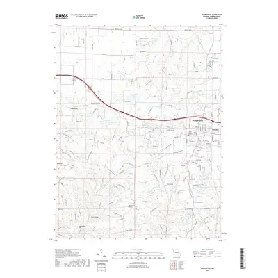 2021 Warrenton2021 Print · USGSWarrenton and Truesdale are documented in this recent survey, showing the Warren County seat and its surrounding landscape as it appears today. Researchers can locate civic landmarks like the Warren County Courthouse and burial grounds such as Camp Branch Cem and Rattle Cem.
 - 2021 Map of Marthasville, 2021 Print
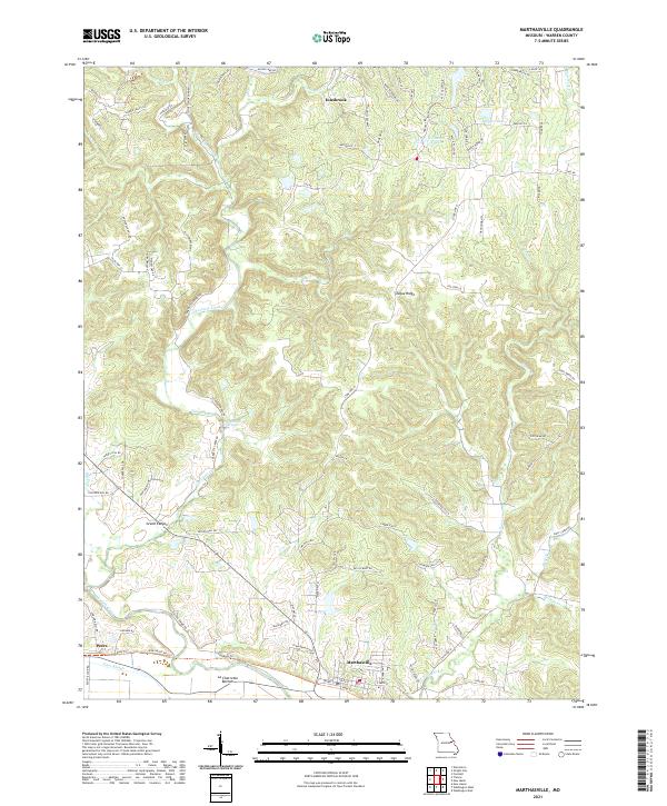 2021 Marthasville2021 Print · USGSMarthasville and the Missouri River bottomlands are captured here in a period of modern growth and residential expansion. Researchers can trace land patterns from the river flats at La Charrette Bottom to notable landmarks like Grand Canyon and Tuque Ridge.
 - 2023 Map of Warrenton, 2023 Print
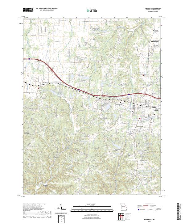 2023 Warrenton2023 Print · USGSWarrenton and the surrounding Missouri countryside are captured here in the early twenty-first century, showing the established communities of the county seat. Researchers can trace local lineage through several landmark burial grounds like Holy Rosary Cemetery and Rock Church Cemetery.
End of results
Showing maps 1-17 of 17
Top cities of Warren County
- Warrenton historical maps
- Wright City historical maps
- Marthasville historical maps
- Truesdale historical maps
- Innsbrook historical maps
- Pendleton historical maps
See more
Frequently asked questions
- What are the different types of historical maps available for Warren County?
- What is the oldest map of Warren County?
- Where can I purchase historical maps of Warren County for my home or office?
- Where can I download high-res historical maps of Warren County?
- Are there historical topographic maps available for Warren County?
- Is there historical aerial imagery available for Warren County?
- Where are historical maps of Warren County sourced from?