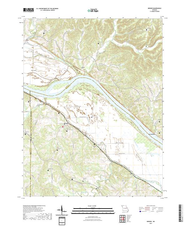
2021 Map of Berger
USGS Topo · Published 2021About this map
Berger sits prominently on the southern bluffs above the Missouri River, serving as a central point in this rural landscape where the river bend dictates the orientation of roads and railways. The area is defined by its deep ancestral roots, evidenced by the high concentration of small family and community burial grounds such as Finks Cem, Kallmeyer Cem, and Saint Pauls Cem. These sites, often located near farmsteads or old church foundations, offer significant research value for genealogists tracing the 19th and 20th-century settlement of Franklin and Gasconade counties.
Find a feature on this map
78 named features on this map. Tap any name to fly to it.
Don’t see what you’re looking for? This feature index may not catch every label — zoom into the map to look around manually.
Map Details
Editions of this 2021 Berger Map
This is the sole edition of this map. No revisions or reprints were ever made.
Other maps of this area

1890 · Hermann
USGS Topo · 1:125,000

1936 · Hermann
USGS Topo · 1:48,000

1942 · Hermann
USGS Topo · 1:62,500

1942 · New Florence
USGS Topo · 1:62,500

1943 · Warrenton
USGS Topo · 1:62,500

1945 · Hermann
USGS Topo · 1:62,500

1945 · Warrenton
USGS Topo · 1:62,500

1946 · New Florence
USGS Topo · 1:62,500

1948 · Washington
USGS Topo · 1:62,500

1949 · Saint Louis
USGS Topo · 1:250,000