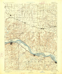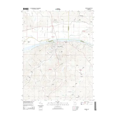
1942 Map of Hermann
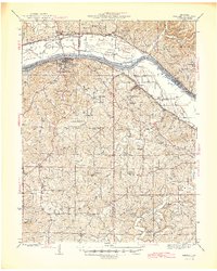
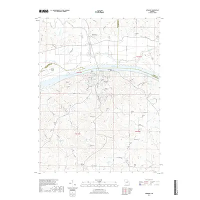
USGS Topo · Published 1961About this map
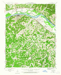
The Missouri River forms the backbone of this mid-century Missouri landscape, where the Missouri Pacific railroad tracks hug the southern bank through Hermann and Berger. This survey reflects a deeply settled rural interior, evidenced by a high density of country schools and churches such as Senate Grove Ch, Bethany Ch, and St Johns Ch. The topography is defined by the winding paths of Frene Creek and Little Berger Creek, which carve through the terrain south of the river valley. The map documents numerous small communities like McKittrick and Bernheimer, alongside landforms like Rush Island and McGirk Island that sit within the river's wider channel. For genealogists, the inclusion of family-named landmarks and cemeteries like Meyers Cem and Roth Cem provides specific data points for early 20th-century land use.
Find a feature on this map
63 named features on this map. Tap any name to fly to it.
Don’t see what you’re looking for? This feature index may not catch every label — zoom into the map to look around manually.
Map Details
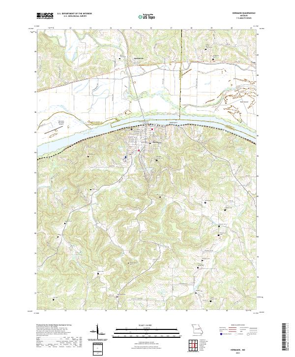
Editions of this 1942 Hermann Map
2 editions found
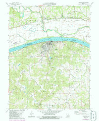
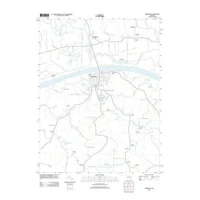
Historical Maps of Hermann Through Time
9 maps found