Old Maps of Marthasville, Missouri for Genealogy
Trace your family roots with 18 historic maps of Marthasville. These high-res maps reveal old neighborhoods, homesites, landmarks, and streets — helping you uncover where your ancestors lived and how the area evolved over time.
- Explore historic neighborhoods: Identify where your relatives may have lived in the 1800s or 1900s.
- Compare maps over time: Trace the changes in streets, buildings, and landmarks for multi-generational research.
- Perfect for genealogy & ancestry research: Used by family historians and researchers to map out lineage and migration.
These maps are an incredible resource for exploring your personal connection to Marthasville's past.
Marthasville, MO maps
(18)- 1890 Map of Hermann
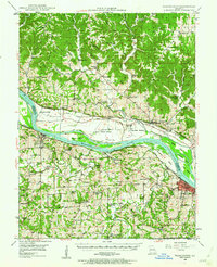
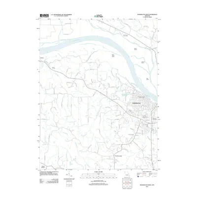
 1890 Hermann1890 Print · USGSMid-Missouri river life and rail commerce define this late-century landscape during a period of steady expansion. Genealogists and historians can trace family roots through old post offices like Hopewell Academy P.O. and Swiss P.O. or the early street grids of Hermann and Warrenton.5 unique versions available
 - 1948 Map of Washington, 1962 Print
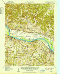
 1948 Washington1962 Print · USGSThe river valley between Washington and New Haven thrives as a dual-rail corridor in the late 1940s. Genealogists can trace dozens of rural school districts and landmarks including the Daniel Boone Monument, Dundee Knob, and Hoefeld Ch.2 unique versions available
 - 1949 Map of Saint Louis
 1949 Saint Louis1949 Print · USGSGreater St. Louis and its surrounding river valleys are captured here just after the war, showing the metropolitan core and the rural Ozark fringe. Researchers can trace the sprawling rail network of the Wabash RR or locate landmarks like Meramec Caverns Airport and Scott Air Force Base.2 unique versions available
 - 1949 Map of Washington
 1949 Washington1949 Print · USGSThe Missouri River valley in the late 1940s is shown here at its intersection with the Missouri Kansas Texas and Pacific railroads. Genealogists can trace family footprints across dozens of local landmarks like Campbellton School, Hoefeld Ch, and the Daniel Boone Monument.2 unique versions available
 - 1962 Map of St. Louis
 1962 St. Louis1962 Print · USGSThe mid-century gateway to the west shows the metropolitan expansion of St Louis alongside its critical river confluences. Genealogists and historians can trace the rail corridors of the Missouri Pacific RR and settlements from Fulton to De Soto.
 - 1963 Map of St. Louis, 1970 Print
 1963 St. Louis1970 Print · USGSSt. Louis and its surrounding river valleys are captured here during the peak of mid-century suburban expansion and industrial activity. Trace the historic rail routes of the Norfolk and Western Ry or locate the St Louis Ordnance Plant and early stretches of US Highway 66.4 unique versions available
 - 1966 Map of St. Louis
 1966 St. Louis1966 Print · USGSThe St. Louis metropolitan area and its surrounding river valleys are captured here during the mid-sixties era of suburban growth and industrial strength. Genealogists and historians can trace the foundations of local communities through sites like Old Pioneer Cem, Parks College, and the Jefferson Barracks Military Reservation.
 - 1972 Map of Marthasville, 1975 Print
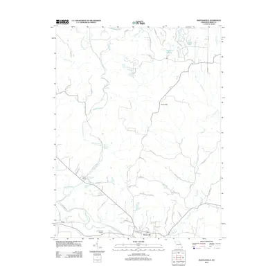
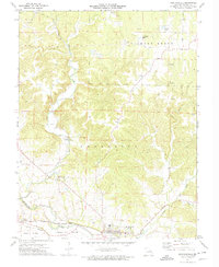 1972 Marthasville1975 Print · USGSMarthasville and the fertile river bottoms of Warren County come to life in the early 1970s as the rail-and-river economy persists. Genealogists and historians can locate rural landmarks like Peers, the Missouri - Kansas - Texas rail line, and numerous claypits.2 unique versions available
 - 1973 Map of Washington West, 1974 Print
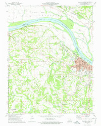 1973 Washington West1974 Print · USGSFranklin and Warren counties meet along the Missouri River in the 1970s as the town of Washington grows around its rail and river roots. Researchers can trace family history through sites like Newport Cem, the Daniel Boone Monument, and the rural crossroads at Clover Bottom.2 unique versions available
 - 1985 Map of Fulton
 1985 Fulton1985 Print · USGSMid-Missouri was a hub of river commerce and rail travel in the mid-1980s, where towns like Fulton and Hermann anchored the river valley. Researchers can trace historic river islands like Rush Island or follow the path of the Missouri - Kansas - Texas Railroad.2 unique versions available
 - 2012 Map of Marthasville, 2012 Print
 2012 Marthasville2012 Print · USGSCovers Marthasville, including Innsbrook, Peers, and other nearby areas
 - 2012 Map of Washington West, 2012 Print
 2012 Washington West2012 Print · USGSCovers Marthasville, including Washington, Three Creeks, and other nearby areas
 - 2015 Map of Washington West, 2015 Print
 2015 Washington West2015 Print · USGSCovers Marthasville, including Washington, Three Creeks, and other nearby areas
 - 2015 Map of Marthasville, 2015 Print
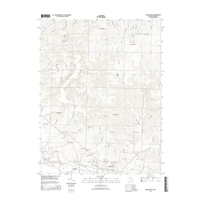 2015 Marthasville2015 Print · USGSCovers Marthasville, including Innsbrook, Peers, and other nearby areas
 - 2017 Map of Washington West, 2017 Print
 2017 Washington West2017 Print · USGSCovers Marthasville, including Washington, Three Creeks, and other nearby areas
 - 2017 Map of Marthasville, 2017 Print
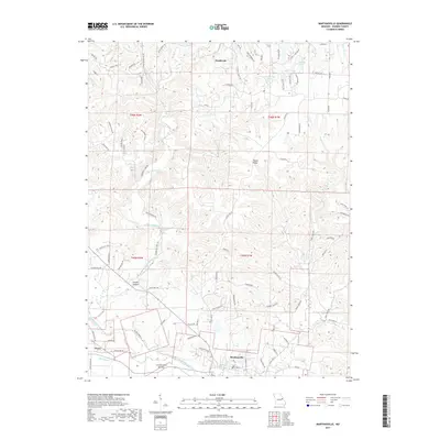 2017 Marthasville2017 Print · USGSCovers Marthasville, including Innsbrook, Peers, and other nearby areas
 - 2021 Map of Washington West, 2021 Print
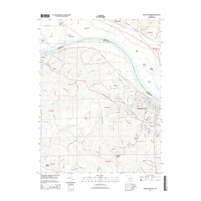
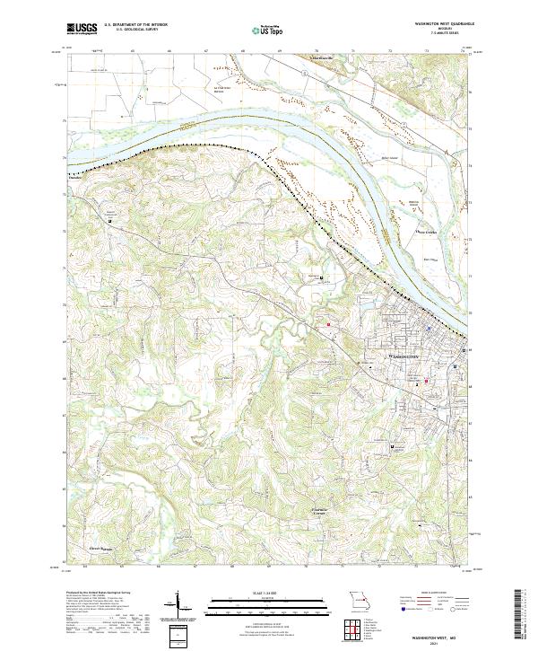 2021 Washington West2021 Print · USGSFranklin and Warren Counties are captured here along the Missouri River in 2021, showing the modern layout of the river valley. Researchers can trace local heritage through sites like Saint Francis Borgia Catholic Cem or explore the rural surroundings of Clover Bottom and Marthasville.
 - 2021 Map of Marthasville, 2021 Print
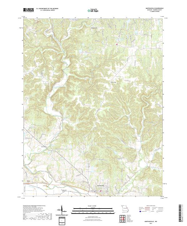 2021 Marthasville2021 Print · USGSMarthasville and the Missouri River bottomlands are captured here in a period of modern growth and residential expansion. Researchers can trace land patterns from the river flats at La Charrette Bottom to notable landmarks like Grand Canyon and Tuque Ridge.
End of results
Showing maps 1-18 of 18
Top cities near Marthasville
- Wentzville historical maps
- Washington historical maps
- Union historical maps
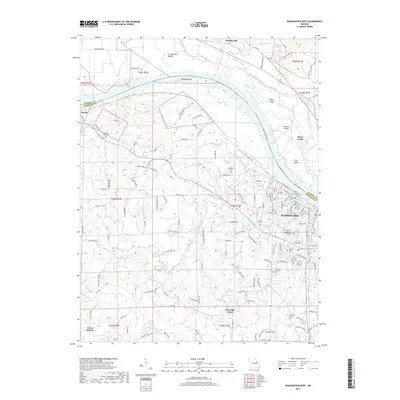
- Warrenton historical maps
- Gray Summit historical maps
- Wright City historical maps
See more
Frequently asked questions
- What are the different types of historical maps available for Marthasville?
- What is the oldest map of Marthasville?
- Where can I purchase historical maps of Marthasville for my home or office?
- Where can I download high-res historical maps of Marthasville?
- Are there historical topographic maps available for Marthasville?
- Is there historical aerial imagery available for Marthasville?
- Where are historical maps of Marthasville sourced from?