Old Maps of Rader, Missouri for Genealogy
Trace your family roots with 10 historic maps of Rader. These high-res maps reveal old neighborhoods, homesites, landmarks, and streets — helping you uncover where your ancestors lived and how the area evolved over time.
- Explore historic neighborhoods: Identify where your relatives may have lived in the 1800s or 1900s.
- Compare maps over time: Trace the changes in streets, buildings, and landmarks for multi-generational research.
- Perfect for genealogy & ancestry research: Used by family historians and researchers to map out lineage and migration.
These maps are an incredible resource for exploring your personal connection to Rader's past.
Rader, MO maps
(10)- 1954 Map of Springfield
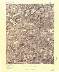
 1954 Springfield1954 Print · USGSThe Missouri Ozarks are captured here during the post-war era, showing the expansion of Springfield and the surrounding river valleys. Genealogists and historians can trace local landmarks like Mount Comfort Cemetery and the Fort Leonard Wood military grounds.6 unique versions available
 - 1956 Map of Rader, 1957 Print
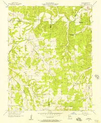 1956 Rader1957 Print · USGSCrossing the borders of Webster, Laclede, and Wright counties in the mid-1950s, this area shows a landscape of small schools and river-fed hollows. Genealogists can locate family landmarks like Rader, Amity Ch, and the now-abandoned Oak Grove Sch.2 unique versions available
 - 1958 Map of Springfield
 1958 Springfield1958 Print · USGSThe Missouri Ozarks are captured during the mid-century era of growth, centered on the bustling hub of Springfield. Genealogists and historians can trace family roots through numerous landmarks like Ebenezer Church, Stockton Cem, and the various county courthouses.
 - 1959 Map of Springfield
 1959 Springfield1959 Print · USGSThe Missouri Ozarks are captured here during a decade of postwar growth and increasing highway connectivity. Researchers can trace the legacy of the St Louis-San Francisco RR and locate early sites in Springfield, Lebanon, and Mountain Grove.
 - 1977 Map of Rader
 1977 Rader1977 Print · USGSWright County farming and timber lands are captured from the air during the late seventies. Genealogists and land researchers can trace the rural landscape surrounding Rader and the meandering path of the Osage Fork Gasconade River.
 - 1983 Map of Mountain Grove
 1983 Mountain Grove1983 Print · USGSWright and Webster counties in the early 1980s show a traditional Ozark landscape of ridge-running railroads and river headwaters. You can trace the Burlington Northern Railroad through towns like Mansfield or find rural landmarks like Vance Cem and Mt Zion Church.
 - 2011 Map of Rader, 2011 Print
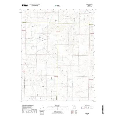
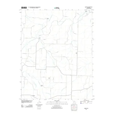 2011 Rader2011 Print · USGSCovers Rader, including Pease, Susanna, and other nearby areas
 - 2015 Map of Rader, 2015 Print
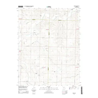 2015 Rader2015 Print · USGSCovers Rader, including Pease, Susanna, and other nearby areas
 - 2017 Map of Rader, 2017 Print
 2017 Rader2017 Print · USGSCovers Rader, including Pease, Susanna, and other nearby areas
 - 2021 Map of Rader, 2021 Print
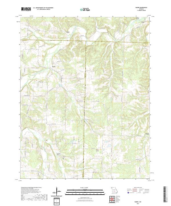 2021 Rader2021 Print · USGSThe rural borderlands of Laclede, Webster, and Wright counties are shown here as they appeared in the early twenty-first century. Genealogists and local historians can trace the paths to Weaver Cem, the small community of Rader, and the banks of the Osage Fork Gasconade River.
End of results
Showing maps 1-10 of 10
Top cities near Rader
- Lebanon historical maps
- Marshfield historical maps
- Conway historical maps
- Hartville historical maps
- Niangua historical maps
- Phillipsburg historical maps
See more
Frequently asked questions
- What are the different types of historical maps available for Rader?
- What is the oldest map of Rader?
- Where can I purchase historical maps of Rader for my home or office?
- Where can I download high-res historical maps of Rader?
- Are there historical topographic maps available for Rader?
- Is there historical aerial imagery available for Rader?
- Where are historical maps of Rader sourced from?