Old Maps of Macomb, Missouri for Academic Research
Study the evolution of Macomb with 11 high-resolution historic maps. Whether you're teaching, researching, or modeling changes in land use, these maps provide essential visual documentation of urban, environmental, and geographic change.
- Analyze long-term change: Track patterns in development, transportation, and natural features.
- Ideal for environmental or urban studies: Support academic projects with primary historical map data.
- Use in the classroom or lab: Educators and researchers rely on these maps to bring historical context to life.
These maps are a powerful tool for teaching, research, and visualizing how Macomb has changed over the decades.
Macomb, MO maps
(11)- 1951 Map of Norwood, 1952 Print
 1951 Norwood1952 Print · USGSThe Missouri Ozarks are captured here just after the war, centered on the St Louis San Francisco rail corridor. Researchers can locate numerous rural schools and churches like Oak Forest Ch, Stony Point Sch, and Shiloh Cem.2 unique versions available
 - 1951 Map of Mountain Grove, 1958 Print
 1951 Mountain Grove1958 Print · USGSWright and Douglas counties come alive in the early fifties, showing a landscape of small farmsteads and rural schoolhouses. Genealogists can locate specific family landmarks like Day Cem, Owens, and the St Louis San Francisco RR corridor.
 - 1954 Map of Springfield
 1954 Springfield1954 Print · USGSThe Missouri Ozarks are captured here during the post-war era, showing the expansion of Springfield and the surrounding river valleys. Genealogists and historians can trace local landmarks like Mount Comfort Cemetery and the Fort Leonard Wood military grounds.6 unique versions available
 - 1958 Map of Springfield
 1958 Springfield1958 Print · USGSThe Missouri Ozarks are captured during the mid-century era of growth, centered on the bustling hub of Springfield. Genealogists and historians can trace family roots through numerous landmarks like Ebenezer Church, Stockton Cem, and the various county courthouses.
 - 1959 Map of Springfield
 1959 Springfield1959 Print · USGSThe Missouri Ozarks are captured here during a decade of postwar growth and increasing highway connectivity. Researchers can trace the legacy of the St Louis-San Francisco RR and locate early sites in Springfield, Lebanon, and Mountain Grove.
 - 1977 Map of Norwood
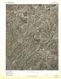 1977 Norwood1977 Print · USGSThe rural landscape of Wright County is captured in the late seventies through this detailed aerial survey. Genealogists and local historians can trace the specific layouts of old farmsteads and rural routes connecting Norwood and Macomb.
 - 1983 Map of Mountain Grove
 1983 Mountain Grove1983 Print · USGSWright and Webster counties in the early 1980s show a traditional Ozark landscape of ridge-running railroads and river headwaters. You can trace the Burlington Northern Railroad through towns like Mansfield or find rural landmarks like Vance Cem and Mt Zion Church.
 - 2011 Map of Norwood, 2011 Print
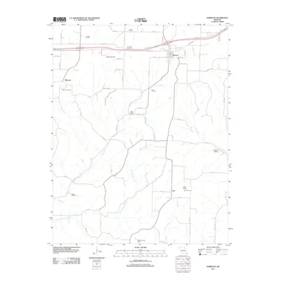 2011 Norwood2011 Print · USGSWright County at the start of the 2010s shows a landscape of rail-side towns and small hilltop settlements connected by winding creek-valley roads. Researchers can locate numerous local landmarks such as Macomb Cemetery, Samson Hollow, and the rural community of Filer.
 - 2015 Map of Norwood, 2015 Print
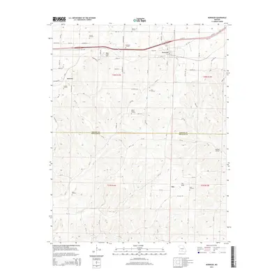 2015 Norwood2015 Print · USGSThe border of Wright and Douglas Counties comes into focus in the mid-2010s, showing the Ozark landscape between Norwood and Macomb. Researchers can locate numerous family burial sites like Shiloh Cemetery and Ryan Cemetery or trace the path of the BNSF Railway.
 - 2017 Map of Norwood, 2017 Print
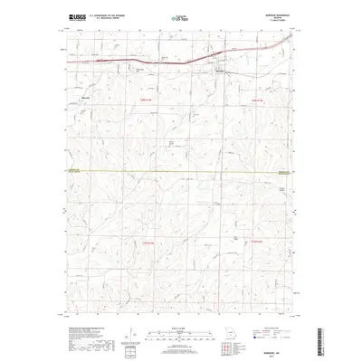 2017 Norwood2017 Print · USGSThe border of Wright and Douglas counties is revealed here in the late twenty-first century, showing a landscape defined by small settlements and rural family cemeteries. Genealogists can trace family lines through numerous sites like Shiloh Cem, Mount Harmon Cem, and Macomb Cem near the town of Macomb.
 - 2021 Map of Norwood, 2021 Print
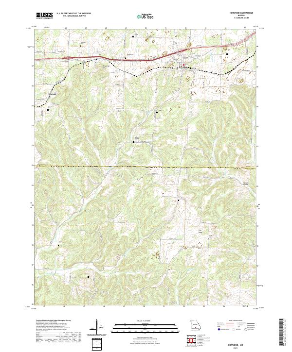 2021 Norwood2021 Print · USGSThe Missouri Ozarks are captured here at the Wright and Douglas county line as they appeared in recent years. Genealogists and local historians can locate many family burial sites, including Rutherford Cem, Ryan Cem, and Stark Cem across the ridge-and-hollow terrain.
End of results
Showing maps 1-11 of 11
Top cities near Macomb
Frequently asked questions
- What are the different types of historical maps available for Macomb?
- What is the oldest map of Macomb?
- Where can I purchase historical maps of Macomb for my home or office?
- Where can I download high-res historical maps of Macomb?
- Are there historical topographic maps available for Macomb?
- Is there historical aerial imagery available for Macomb?
- Where are historical maps of Macomb sourced from?