Old Maps of Chinatown, Montana for Hiking & Exploration
Hike through history with 10 historic maps of Chinatown. Explore old trails, ghost towns, and forgotten backroads — perfect for outdoor adventurers and local explorers.
- Rediscover forgotten places: Map out old mining camps, roads, and footpaths that no longer exist on modern maps.
- Layer with modern tools: Combine with LiDAR or satellite views to plan hikes through historical terrain.
- Made for exploration: Popular among hikers, overlanders, and local history lovers.
Use these maps to find adventure and explore the hidden past of Chinatown.
Chinatown, MT maps
(10)- 1955 Map of Dubois
 1955 Dubois1955 Print · USGSThe high desert and mountain passes of eastern Idaho and western Montana are captured here during the mid-fifties. Researchers can trace the Union Pacific rail line through Dubois or locate the National Reactor Testing Station.4 unique versions available
 - 1958 Map of Dubois
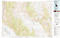
 1958 Dubois1958 Print · USGSThe high divide between Idaho and Montana comes alive in this mid-century survey, from the mining camps of the Lemhi Range to the ranchlands of Centennial Valley. Trace historic operations at the Copper Queen Mine, the route of the Union Pacific RR, and the scientific work at the Sheep experimental station.2 unique versions available
 - 1965 Map of Jeff Davis Peak, 1968 Print
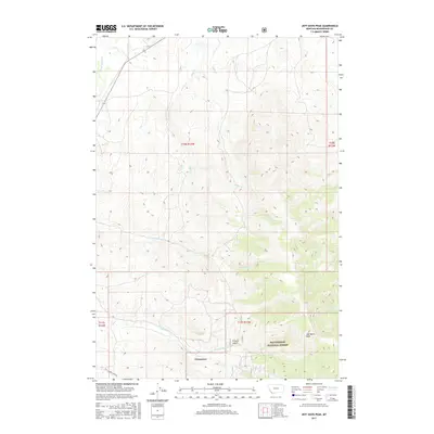
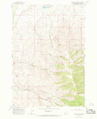 1965 Jeff Davis Peak1968 Print · USGSBeaverhead County in the mid-1960s showcases a landscape of high-country mining and ranching at the edge of the national forest. Researchers can trace the path of the Old Railroad Grade and locate mining remnants like Dredge Tailings and scattered Prospects.2 unique versions available
 - 1980 Map of Leadore, 1996 Print
 1980 Leadore1996 Print · USGSThe high mountain corridors of the Lemhi and Beaverhead ranges are captured here in the early 1980s. Local history researchers can trace the Old Railroad Grade past settlements like Leadore and Tendoy, or locate remote sites like the Copper Queen Mine and Chinatown.
 - 1997 Map of Jeff Davis Peak, 2002 Print
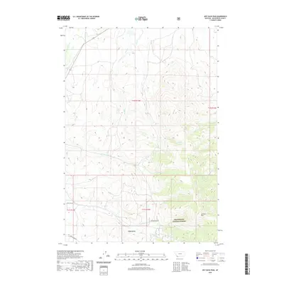
 1997 Jeff Davis Peak2002 Print · USGSBeaverhead County ranching and mining history come into focus in this late-nineties survey of the Montana high country. Researchers can trace the Lewis and Clark National Historic Trail and locate the site of Chinatown near Dredge Tailings.
 - 2011 Map of Three Eagles Peak, 2011 Print
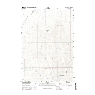
 2011 Three Eagles Peak2011 Print · USGSCovers Chinatown, including Beaverhead County, United States, and other nearby areas
 - 2014 Map of Three Eagles Peak, 2014 Print
 2014 Three Eagles Peak2014 Print · USGSCovers Chinatown, including Beaverhead County, United States, and other nearby areas
 - 2017 Map of Three Eagles Peak, 2017 Print
 2017 Three Eagles Peak2017 Print · USGSCovers Chinatown, including Beaverhead County, United States, and other nearby areas
 - 2020 Map of Three Eagles Peak, 2020 Print
 2020 Three Eagles Peak2020 Print · USGSCovers Chinatown, including Beaverhead County, United States, and other nearby areas
 - 2024 Map of Three Eagles Peak, 2024 Print
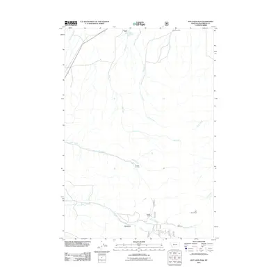
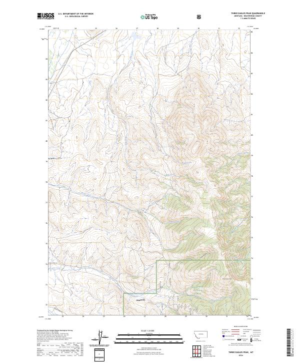 2024 Three Eagles Peak2024 Print · USGSBeaverhead County’s high country is captured here in the 2020s, centered on the historic mountain site of Chinatown. Researchers can trace the drainages of Jeff Davis Creek and French Gulch near the heights of Three Eagles Peak.
End of results
Showing maps 1-10 of 10
Top cities near Chinatown
Frequently asked questions
- What are the different types of historical maps available for Chinatown?
- What is the oldest map of Chinatown?
- Where can I purchase historical maps of Chinatown for my home or office?
- Where can I download high-res historical maps of Chinatown?
- Are there historical topographic maps available for Chinatown?
- Is there historical aerial imagery available for Chinatown?
- Where are historical maps of Chinatown sourced from?