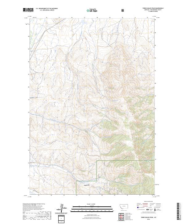
2024 Map of Three Eagles Peak
USGS Topo · Published 2024About this map
Chinatown stands as a focal point of historical interest in this high-elevation landscape of Beaverhead County. The terrain is defined by the prominent Three Eagles Peak and a complex drainage system within the southern reaches of the Beaverhead National Forest. This modern survey traces a network of remote waterways, including the winding Jeff Davis Creek, Colorado Creek, and French Gulch, which carve through the high country. The presence of China Town Rd and Maiden Creek Rd provides clear mapping of the limited vehicular access into these drainages. The landscape's hydrology is further detailed through features like Shenon Creek and Rape Creek, illustrating the natural watershed patterns of this portion of the Continental Divide region.
Find a feature on this map
17 named features on this map. Tap any name to fly to it.
Don’t see what you’re looking for? This feature index may not catch every label — zoom into the map to look around manually.
Map Details
Editions of this 2024 Three Eagles Peak Map
This is the sole edition of this map. No revisions or reprints were ever made.
Other maps of this area

1955 · Dubois
USGS Topo · 1:250,000

1955 · Dillon
USGS Topo · 1:250,000

1957 · Dillon
USGS Topo · 1:250,000

1958 · Dubois
USGS Topo · 1:250,000

1958 · Dillon
USGS Topo · 1:250,000

1959 · Grant
USGS Topo · 1:62,500

1962 · Dillon
USGS Topo · 1:250,000

1965 · Dillon
USGS Topo · 1:250,000

1965 · Deadman Pass
USGS Topo · 1:24,000

1965 · Jeff Davis Peak
USGS Topo · 1:24,000