
1959 Map of Grant
USGS Topo · Published 1961About this map
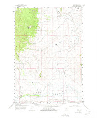
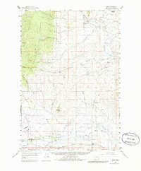
Horse Prairie Creek flows across the southern plains of this 1959 survey, where the Mansfield-Prohosky Ranch Road and several irrigation ditches mark the agricultural footprint of southwestern Montana. The map documents a landscape of working livestock operations like the Christensen Ranch and Cross Ranch, alongside early educational sites such as the Mill Point Sch. To the west, the Beaverhead Mountains rise sharply within the Beaverhead National Forest, featuring prominent peaks like Bachelor Mtn and the striking Red Butte. Evidence of the region’s mineral history is visible through the Placer Mines located near Grasshopper Creek, a stream well-known in Montana gold-rush history. Settlement markers such as the Old Knoll Homestead and the Bannack Cem provide specific points of interest for genealogists tracing family ties to the ranching and mining communities of Beaverhead County.
Find a feature on this map
50 named features on this map. Tap any name to fly to it.
Don’t see what you’re looking for? This feature index may not catch every label — zoom into the map to look around manually.
Map Details
Editions of this 1959 Grant Map
3 editions found
Other maps of this area

1893 · Dillon
USGS Topo · 1:250,000

1952 · Bannack
USGS Topo · 1:24,000

1952 · Eli Spring
USGS Topo · 1:24,000

1952 · Ermont
USGS Topo · 1:24,000

1955 · Dubois
USGS Topo · 1:250,000

1955 · Dillon
USGS Topo · 1:250,000

1957 · Dillon
USGS Topo · 1:250,000

1958 · Dubois
USGS Topo · 1:250,000

1958 · Dillon
USGS Topo · 1:250,000

1959 · Polaris
USGS Topo · 1:62,500