
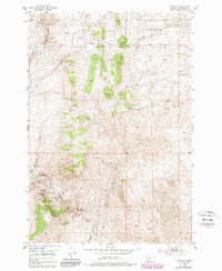
1952 Map of Bannack
USGS Topo · Published 1954About this map
Bannack (First Territorial Capital) stands as the centerpiece of this mid-century survey, situated along the banks of Grasshopper Creek. The landscape is heavily marked by the region's gold-mining heritage, with dense concentrations of lode and placer claims. To the west of the townsite, notable sites such as Hangmans Gulch and Road Agents Rock evoke the era's reputation for frontier justice and lawlessness.
Find a feature on this map
35 named features on this map. Tap any name to fly to it.
Don’t see what you’re looking for? This feature index may not catch every label — zoom into the map to look around manually.
Map Details
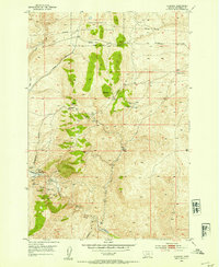
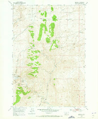
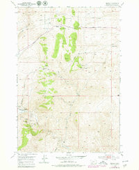
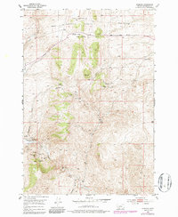
Editions of this 1952 Bannack Map
6 editions found
Other maps of this area

1893 · Dillon
USGS Topo · 1:250,000

1952 · Argenta
USGS Topo · 1:24,000

1952 · Burns Mountain
USGS Topo · 1:24,000

1952 · Eli Spring
USGS Topo · 1:24,000

1952 · Dalys
USGS Topo · 1:24,000

1952 · Ermont
USGS Topo · 1:24,000

1955 · Dillon
USGS Topo · 1:250,000

1957 · Dillon
USGS Topo · 1:250,000

1958 · Dillon
USGS Topo · 1:250,000

1959 · Polaris
USGS Topo · 1:62,500