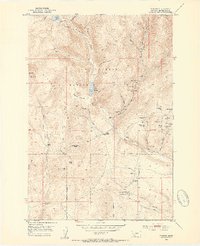
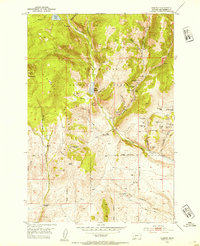
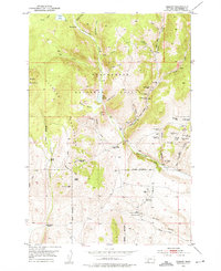
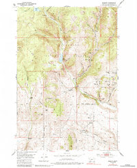
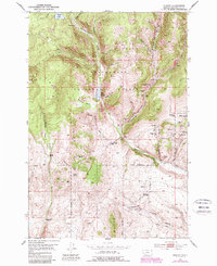
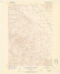
1952 Map of Ermont
USGS Topo · Published 1954About this map
Beaverhead National Forest land dominates this high-altitude landscape during the early 1950s, characterized by a concentrated mining district and high-country ranching. The small settlement of Ermont and the nearby Ermont Mill serve as anchors for a region defined by extensive mineral exploration. Unlike many districts of the era that were largely dormant, this area shows active extraction at the Yellow Band Mine, Goldfinch Mine, and Stinson Mine.
Find a feature on this map
62 named features on this map. Tap any name to fly to it.
Don’t see what you’re looking for? This feature index may not catch every label — zoom into the map to look around manually.
Map Details
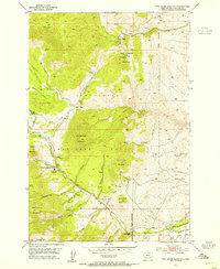
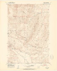
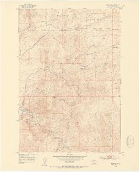
Editions of this 1952 Ermont Map
5 editions found
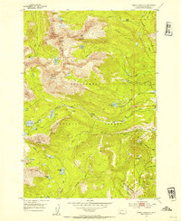
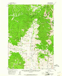
Other maps of this area

1893 · Dillon
USGS Topo · 1:250,000
1952 · Twin Adams Mountain
USGS Topo · 1:24,000
1952 · Argenta
USGS Topo · 1:24,000
1952 · Bannack
USGS Topo · 1:24,000
1952 · Burns Mountain
USGS Topo · 1:24,000
1952 · Torrey Mountain
USGS Topo · 1:24,000

1955 · Dillon
USGS Topo · 1:250,000

1957 · Dillon
USGS Topo · 1:250,000

1958 · Dillon
USGS Topo · 1:250,000
1959 · Polaris
USGS Topo · 1:62,500