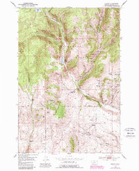
1952 Map of Ermont
USGS Topo · Published 1989About this map
Beaverhead National Forest serves as the backdrop for a landscape defined by significant mineral extraction and ranching history. The rugged drainages of Rattlesnake Creek and French Creek are crowded with claims and workings, including the Yellow Band Mine, Stinson Mine, and Goldfinch Mine, all noted as active during the mid-century field checks. These industrial sites are supported by infrastructure such as the Ermont Diversion Dam and Ermont Mill, which served the mining operations at Ermont Gulch.
Find a feature on this map
55 named features on this map. Tap any name to fly to it.
Don’t see what you’re looking for? This feature index may not catch every label — zoom into the map to look around manually.
Map Details
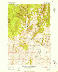
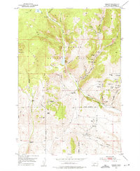
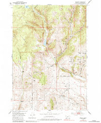
Editions of this 1952 Ermont Map
5 editions found
Other maps of this area

1893 · Dillon
USGS Topo · 1:250,000

1952 · Twin Adams Mountain
USGS Topo · 1:24,000

1952 · Argenta
USGS Topo · 1:24,000

1952 · Bannack
USGS Topo · 1:24,000

1952 · Burns Mountain
USGS Topo · 1:24,000

1952 · Torrey Mountain
USGS Topo · 1:24,000

1952 · Ermont
USGS Topo · 1:24,000

1955 · Dillon
USGS Topo · 1:250,000

1957 · Dillon
USGS Topo · 1:250,000

1958 · Dillon
USGS Topo · 1:250,000