
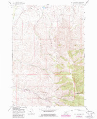
1965 Map of Jeff Davis Peak
USGS Topo · Published 1968About this map
Jeff Davis Peak dominates the southeastern terrain of this mid-1960s survey, marking a rugged high point within the Beaverhead National Forest. The landscape reveals a legacy of resource extraction and remote activity, notably along Jeff Davis Creek where extensive Dredge Tailings signify historical placer mining operations. These industrial marks are contrasted by the isolated Mansfield Cow Camp and a solitary Landing Strip near the northern boundary, suggesting a mix of traditional ranching and modern accessibility.
Find a feature on this map
24 named features on this map. Tap any name to fly to it.
Don’t see what you’re looking for? This feature index may not catch every label — zoom into the map to look around manually.
Map Details
Editions of this 1965 Jeff Davis Peak Map
2 editions found
Other maps of this area

1955 · Dubois
USGS Topo · 1:250,000

1955 · Dillon
USGS Topo · 1:250,000

1957 · Dillon
USGS Topo · 1:250,000

1958 · Dubois
USGS Topo · 1:250,000

1958 · Dillon
USGS Topo · 1:250,000

1959 · Grant
USGS Topo · 1:62,500

1962 · Dillon
USGS Topo · 1:250,000

1965 · Dillon
USGS Topo · 1:250,000

1965 · Deadman Pass
USGS Topo · 1:24,000
1965 · Hansen Ranch
USGS Topo · 1:24,000